Description
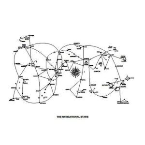
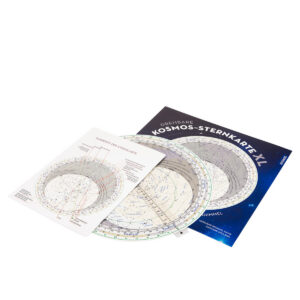
Kosmos Sternkarten – XL is a large and clear star map designed for observing the night sky and identifying stars and constellations. The map provides a clear representation of the most important constellations and navigation stars, making it easier to orientate yourself in the sky during astronomical observations.
The larger XL edition provides a better overview and more detailed presentation of the stars than the standard version. This makes the map particularly suitable for use in teaching, recreational astronomy and as a support tool for astronomical navigation. By comparing the map with the actual night sky, the observer can identify stars and constellations and thus more easily find relevant navigation stars for observations.
The star map can be used in conjunction with navigation tools such as Sextant, Nautical Almanac and Star Finder to identify stars used in celestial navigation. The map provides a visual understanding of the location of the stars and how the constellations are organized in the sky.
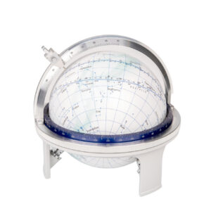
Kosmos Sternkarten – XL is a practical tool for navigators, sailors and astronomy enthusiasts who want a clear and easy-to-read overview of the night sky. The larger map size makes it easier to study constellations and orientate yourself when observing celestial bodies.