Description
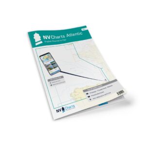
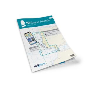
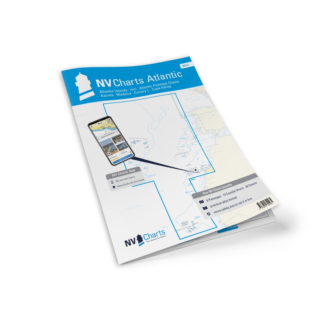
NV Charts ATL3 Atlantic Islands – Azores, Madeira, Canary Islands, Cape Verde is a comprehensive chart package with paper charts and digital nautical charts covering the major Atlantic island groups – Azores, Madeira, Canary Islands and Cape Verde. Specifically designed for leisure sailing and long distance cruising in the Atlantic, the chart set provides a good overview of coastal waters, harbors, anchorages, sailing routes and key navigational details in this transatlantic area.
Created in a convenient atlas format, the maps combine paper charts with digital access via the NV Charts app and compatible PC/Mac solutions. The digital charts work offline and provide up-to-date data all year round, which is especially useful when planning longer trips or crossings across the Atlantic.
Characteristics
Paper map in atlas format with clear navigation graphics.
Digital access via the NV Charts app (offline use on multiple devices).
Detailed maps of the Azores, Madeira, Canary Islands and Cape Verde.
Includes approaches, port calls, anchorages and sailing routes.
Navigation notes and time data for areas along the way.
Map overview
Atlas map of the main waters of the North and Central Atlantic.
Detailed map for Azores (several islands), Madeira and Porto Santo.
Map of the Canary Islands with detailed ports of call.
Map of Cape Verde islands with port plans and sailing details.
Passage map for a broader overview of the Atlantic Ocean.
Updates
Always delivered in the latest available edition from NV Charts. If a new and updated edition is launched within 30 days of purchase, the map can be exchanged for a new edition free of charge.
EAN / ISBN
9783945902493