Official Nautical Charts – Denmark, Faroe Islands and Greenland
Official nautical charts from Geodatastyrelsen are available from Kart.no as Print on Demand (POD) charts. Use the chart index to identify the correct chart number, then choose charts for Denmark, the Faroe Islands or Greenland below.
Please note: product page descriptions are currently available in Norwegian only. English product pages will be available soon.
Please note: product page descriptions are currently available in Norwegian only. English product pages will be available soon.
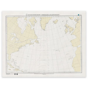
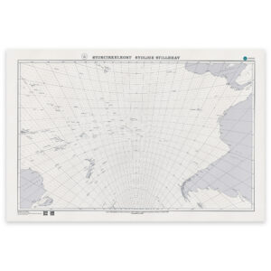
Geodatastyrelsen also publishes specialised ocean navigation charts designed for planning long-distance routes across the world’s oceans. Great circle charts allow navigators to plot the shortest route between distant points on the globe and have long been an essential tool for ocean passage planning.
Printed in large format and designed with exceptional cartographic clarity, these charts are not only practical navigation tools but also striking examples of modern nautical cartography.
The nautical charts available on this page are published by Geodatastyrelsen, the Danish hydrographic office responsible for surveying and charting the waters of Denmark, the Faroe Islands and Greenland.
Through authorised distributors such as Kart.no, these charts are supplied as Print on Demand (POD) paper charts produced from official chart data. This ensures consistent chart presentation and availability for navigators and maritime users.
The chart programme includes regional nautical charts as well as specialised planning charts for ocean navigation. Together, they represent an important part of the official hydrographic charting for Danish waters and surrounding regions.
Geodatastyrelsen charts are widely recognised for their clear cartographic design and consistent presentation, combining practical navigational use with a long-standing hydrographic tradition.