Popular hiking maps
-
BestsellerMade to order
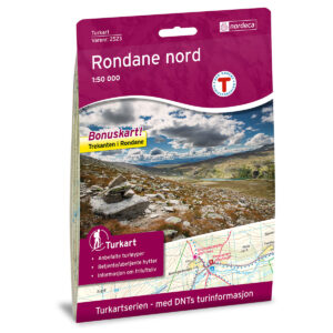
Rondane Nord DNT Hiking Map
18,85 € Add to cart -
BestsellerIn stock

Hardangervidda East DNT Hiking Map
18,85 € Add to cart -
In stock
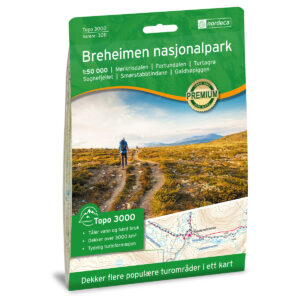
Breheimen National Park Topo 3000 Hiking Map
18,85 € Add to cart -
In stock
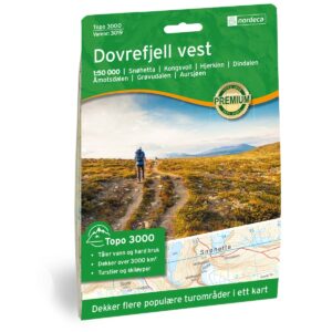
Dovrefjell West Topo 3000 Hiking Map
18,85 € Add to cart -
BestsellerIn stock
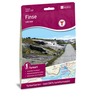
Finse DNT Hiking Map
18,85 € Add to cart -
Low stock

Hattfjelldal Norway Series Hiking Map
18,85 € Add to cart -
BestsellerIn stock
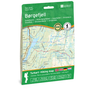
Børgefjell Topo 3000 Turkart
18,85 € Add to cart -
Low stock
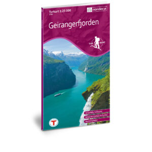
Geirangerfjorden DNT Hiking Map
18,85 € Add to cart -
In stock
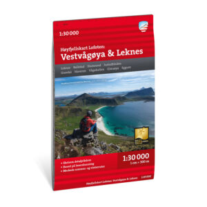
High mountain map Lofoten: Vestvågøya – Leknes 1:30.000
17,39 € Add to cart -
In stock
West Lofoten DNT Hiking Map
18,85 € Add to cart -
In stock
Folgefonna National Park Topo 3000 Hiking Map
18,85 € Add to cart -
Made to order
Trolltunga, Odda – Ullensvang DNT Turkart
18,85 € Add to cart
Popular Hiking Destinations
Find maps for popular hiking destinations in Norway – with overviews of routes, peaks, and local hiking opportunities.
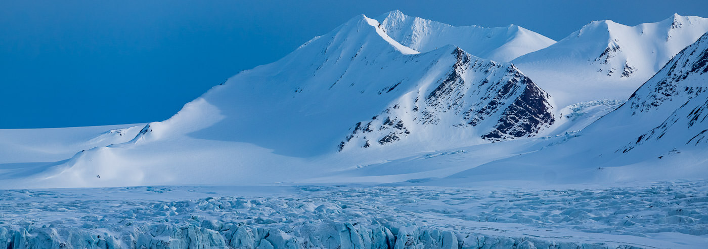
Topographic Maps from the Norwegian Polar Institute
For over 50 years, the Norwegian Polar Institute has produced detailed topographic and scientific maps of Svalbard. The maps cover most islands and areas at scales of 1:100,000 and 1:250,000, and are a natural choice for research, fieldwork, education, and trip planning on land.
At Kart.no, you will find all maps from the Norwegian Polar Institute gathered in one place. With 83 available maps, the range covers everything from detailed field maps to large overview maps of the Arctic and Antarctica.
-
BestsellerIn stock
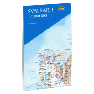
Svalbard 1:1 000 000
10,85 € Add to cart -
In stock
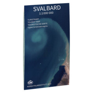
Tourist map of Svalbard
10,85 € Add to cart -
In stock
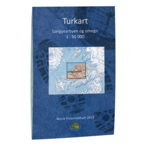
Longyearbyen and surroundings
21,76 € Add to cart -
In stock
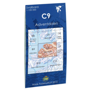
Advent Valley C9
10,85 € Add to cart -
In stock
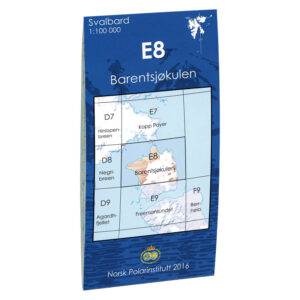
Barentsjøkulen E8
10,85 € Add to cart -
In stock
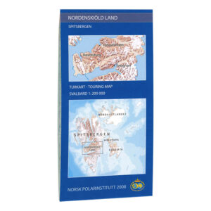
Nordenskiöld Country
18,12 € Add to cart
Swedish Hiking Maps
-
Low stock

Kungsleden: Nikkaluokta, Ritsem & Vakkotavare 1:50,000
14,49 € Add to cart -
In stock
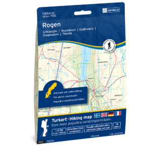
Rogen Swedish Mountain Map
18,12 € Add to cart -
Low stock
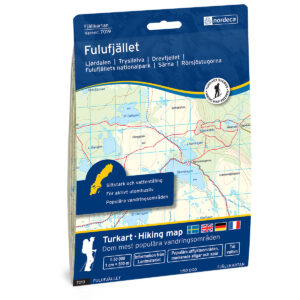
Fulufjället Swedish Mountain Map
18,12 € Add to cart -
In stock
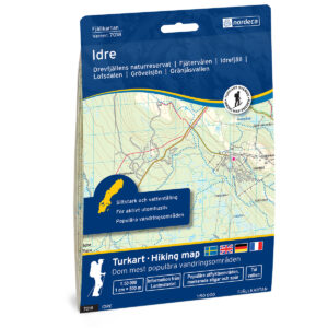
Idre Swedish Mountain Map
18,12 € Add to cart -
In stock
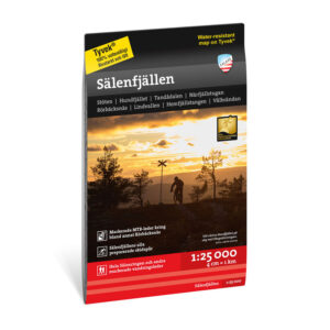
Sälenfjällen 1:25,000
14,49 € Add to cart -
In stock
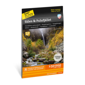
Sälen & Fulufjället 1:50,000
14,49 € Add to cart
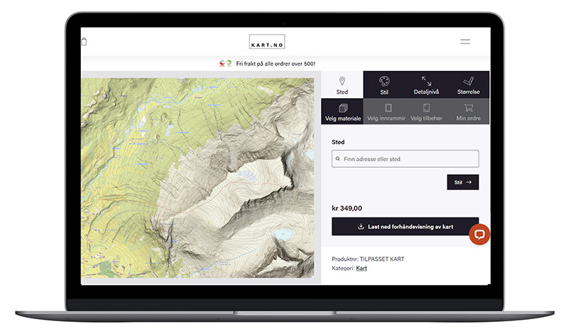
Create Your Own Hiking Map
Can’t find exactly what you’re looking for? With our map designer, you can select your own area and have the map delivered as a paper map, Tyvek, canvas, or a framed version – perfect for trip planning, wall décor, or as a gift.