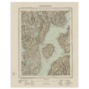
 Hardangerfjord east 1865


Hardangerfjord east 1865
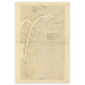
The map from 1865 shows the Hardangerfjord east. The map is delivered in its original size of 38.1 x 57 cm. The size with frame and passepartout is 56.1 x 76 cm. Do you want the map in a different size? Just get in touch – we’ll be happy to give you a quote for customization.