



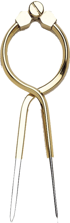


Kart.no · From sheltered waters to the open sea
Nautical charts, knowledge and equipment for your next passage.
Find the charts for your cruising area, the books that offer local knowledge and the instruments you want on board. Explore our essentials for leisure boating and professional shipping.

Official paper nautical charts
Know your chart numbers?
Order charts for your whole passage in one place.
Search by chart number, choose the available format and quantity, and add several chart sheets to your basket together. Select your destination below.
We print charts from Kartverket and Geodatastyrelsen to order. Swedish, Finnish and Estonian charts are supplied in the publisher’s standard format. See each ordering page for available options and delivery information.
Heading further afield?
British Admiralty charts for international waters are supplied in cooperation with StormGeo.

Recreational charts · NV Charts
The coast in a chart atlas.
Digital licence included.
Practical chart packs for coastal cruising, with harbours, approaches and details for the area you want to explore. Find the right series for Norway, the Nordic countries and popular European cruising grounds.
Which charts cover your trip?
Start with a country or cruising area to compare chart series and find the coverage you need.
Find your cruising area →Paper charts for passage planning
A large chart helps you see the whole route and provides a backup when electronic navigation is unavailable.
Read our guide to paper charts on board →Harbour guides and pilot books
Find your harbour.
Get to know it before you arrive.
Harbour plans, aerial photographs, approaches and local knowledge – from the Norwegian coast to the North Atlantic islands and ocean passages.

Norwegian coast · New edition 2026
Havneguiden 1
Svinesund–Langesund, with revised harbour plans, aerial photographs and descriptions of anchorages and guest harbours.

North Atlantic · Imray
Orkney & Shetland
Sailing directions, anchorages and local knowledge for the islands north of Scotland.
Plan your passage →
Offshore sailing · Route planning
Atlantic Pilot Atlas
Winds, currents, seasons and recommended routes in an established atlas for ocean passage planning.
View the atlas →Navigation · Instruments · Craftsmanship
Precision at the chart table.
Tradition on board.

Celestial navigation
Navigate by the stars.
Sextants, almanacs and guidance for celestial navigation – from your first sun sight to your next ocean crossing.

Wempe · German instrument tradition
Instruments made to last.
Ship’s clocks, barometers and chronometers that bring precision, craftsmanship and timeless maritime design on board.
Selected sextants and instruments
-
In stock
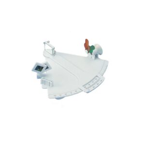
Davis Mark 3 Sextant – training sextant for astronomical navigation
196,42 € Add to cart -
In stock
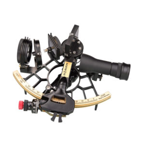
Cassens & Plath Horizon Ultra Sextant – Black – marine sextant for astronomical navigation
2.220,82 € Add to cart -
Low stock
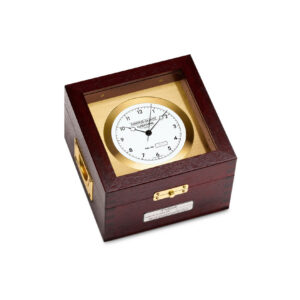
Wempe Marine Quartz Chronometer – Brass and Mahogany
1.917,28 € Add to cart -
In stock
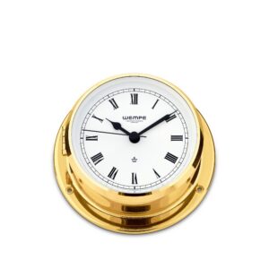
Wempe Skiff – Ship’s Clock 110 mm in polished brass (Roman numerals)
230,15 € Add to cart -
In stock
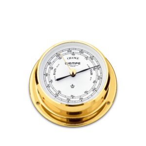
Wempe Skiff – Barometer 110 mm in polished brass
230,15 € Add to cart
For leisure boats, vessels and shipping companies
The books for
life on board.
From deck logbooks to IAMSAR and maritime radiocommunication. Find logbooks, IMO and ITU publications and safety manuals together on one main page.
Frequently ordered logbooks
Deck, engine and garbage record books. Explore the dedicated page for the full range, manuals and digital publications.


Which books does your vessel need?
Our NOR/NIS guide helps you choose logbooks, IAMSAR III, the International Code of Signals and ITU publications.

For your home, cabin and memories of the voyage
A map of
your own waters.
Choose a place you love and create a nautical map of your own area. Order on map paper, mounted on a board or professionally framed.
We can help you find your way.
Tell us your cruising area, chart number or the title you are looking for, and we will help you find it.