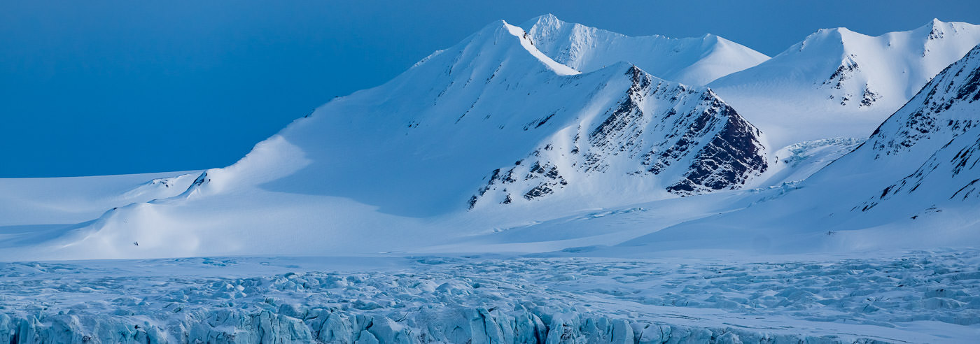
Svalbard, Bear Island and Jan Mayen
For several generations, the Norwegian Mapping Authority and the Norwegian Polar Institute have mapped Svalbard in one of the world’s most inaccessible and harsh landscapes. The result is highly detailed and reliable maps of an archipelago that continues to inspire respect, curiosity, and a sense of adventure.
Svalbard is an area characterized by expedition history, research, and strategic importance in the Arctic. For anyone planning travel in the area – whether for expeditions, fieldwork, research, or adventure – high-quality maps are essential. At the same time, Svalbard has a unique aesthetic that makes the maps natural eye-catchers as wall maps.
Topographic maps from the Norwegian Polar Institute
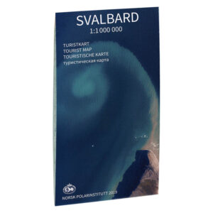
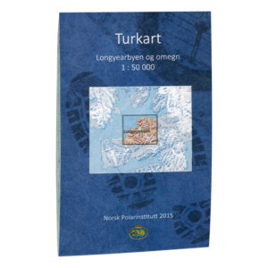
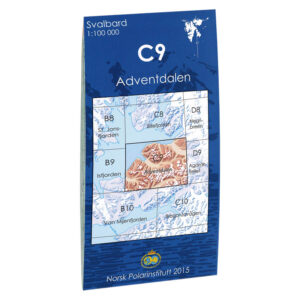
For over 50 years, the Norwegian Polar Institute has produced detailed topographic and scientific maps of Svalbard. The maps cover most islands and areas at scales of 1:100,000 and 1:250,000, and are a natural choice for research, fieldwork, education, and land-based trip planning.
At Kart.no, you will find all maps from the Norwegian Polar Institute in one place. With 83 maps available, the range covers everything from detailed field maps to large overview maps of the Arctic and Antarctic.
See the full range from the Norwegian Polar Institute
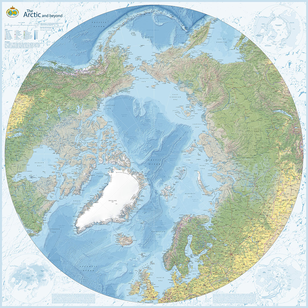
The Arctic and beyond
NOK 349
A magnificent overview map of the Arctic, developed by the Norwegian Polar Institute. The map provides a comprehensive understanding of the High North and places Svalbard within a larger Arctic context.

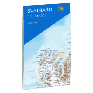
Svalbard – stort veggkart med Bjørnøya og Jan Mayen
Fra kr 649
Et unikt, stilrent kart over hele Svalbard – designet og produsert av oss. Leveres i fem størrelser, på papir, robust plate eller som magnetisk whiteboard.
Også tilgjengelig ferdig innrammet – perfekt for hjem, hytte eller kontor.
Nautical charts from the Norwegian Mapping Authority – Arctic waters around Svalbard
The Norwegian Mapping Authority’s Svalbard charts are official nautical charts for the sea areas around Svalbard and in the Arctic, developed for navigation in some of the world’s most demanding waters. The charts cover coastlines, fjords, and open sea areas characterized by ice, weather, and vast distances, and are used by recreational boats, expeditions, research vessels, and professional shipping.
The charts are produced as Print on Demand and are regularly updated with the latest available map data from the Norwegian Mapping Authority. You can choose between individual charts and chart series, delivered on map paper or durable Tyvek, well-suited for use on board in Arctic conditions.
-
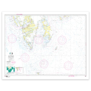
Kartverket Nautical Chart 505 – INT 9311 / Svalbard
From 21,93 €
Select options -
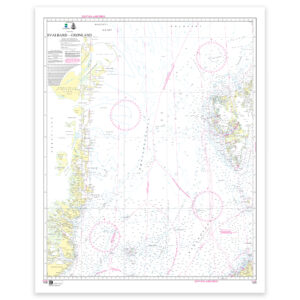
Kartverket Nautical Chart 515 – INT 932 / Svalbard – Grønland
From 21,93 €
Select options -
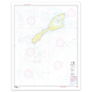
Kartverket Nautical Chart 512 – Jan Mayen
From 21,93 €
Select options -
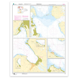
Kartverket Nautical Chart 513 – Svalbard havner: Sveagruva, Forlandsrevet, Adventfjorden, Ny Ålesund
From 21,93 €
Select options
See all Svalbard charts from the Norwegian Mapping Authority
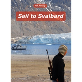
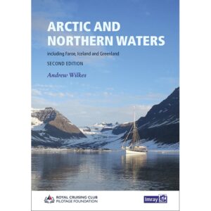
Pilot books and travelogues from the Arctic
For those who want to understand the Arctic better than a map alone can show, we offer a selection of pilot books and travelogues from Svalbard and the High North. The books provide valuable insight into travel, ports, routes, and experiences from some of the world’s most demanding waters.