

 Vestfold 1772
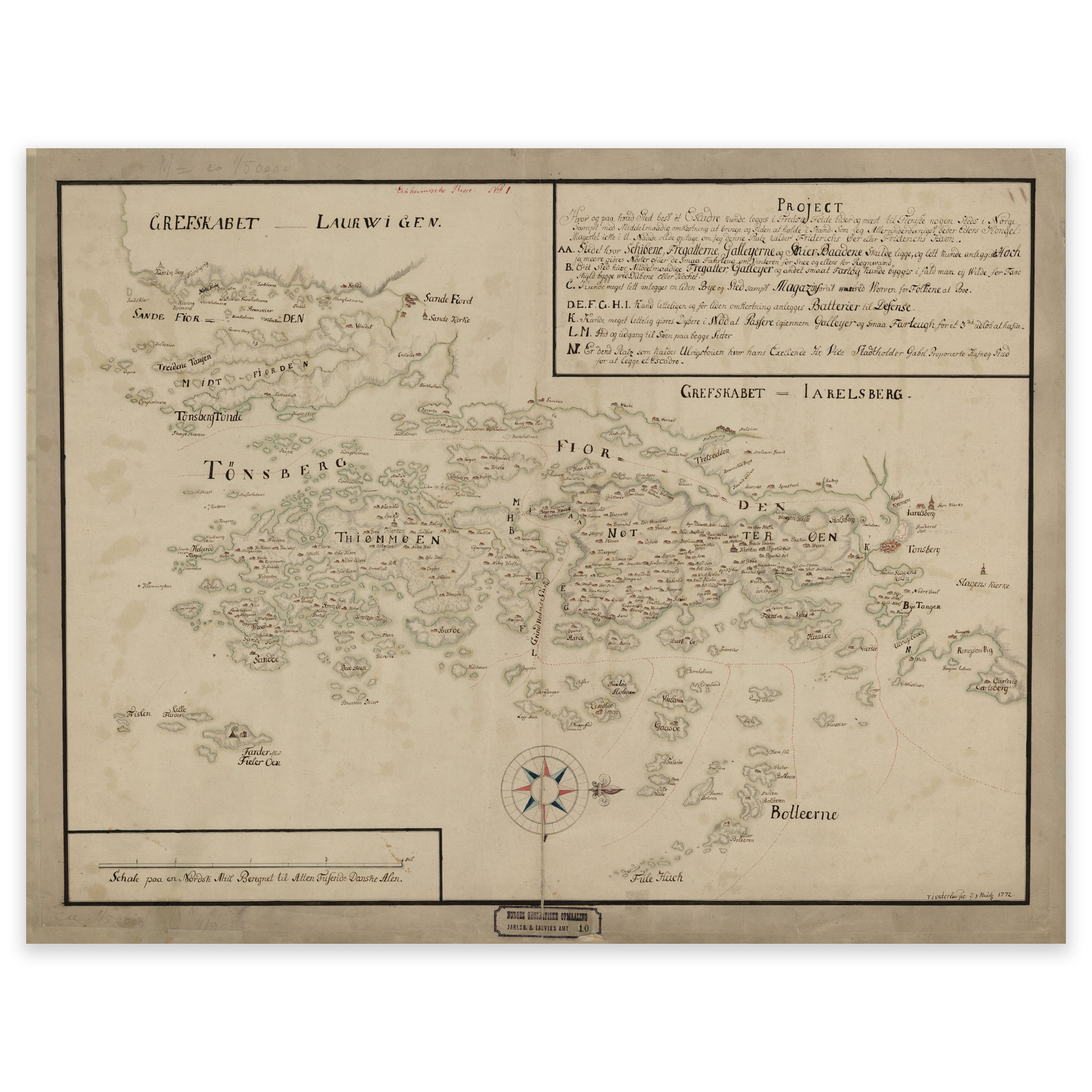

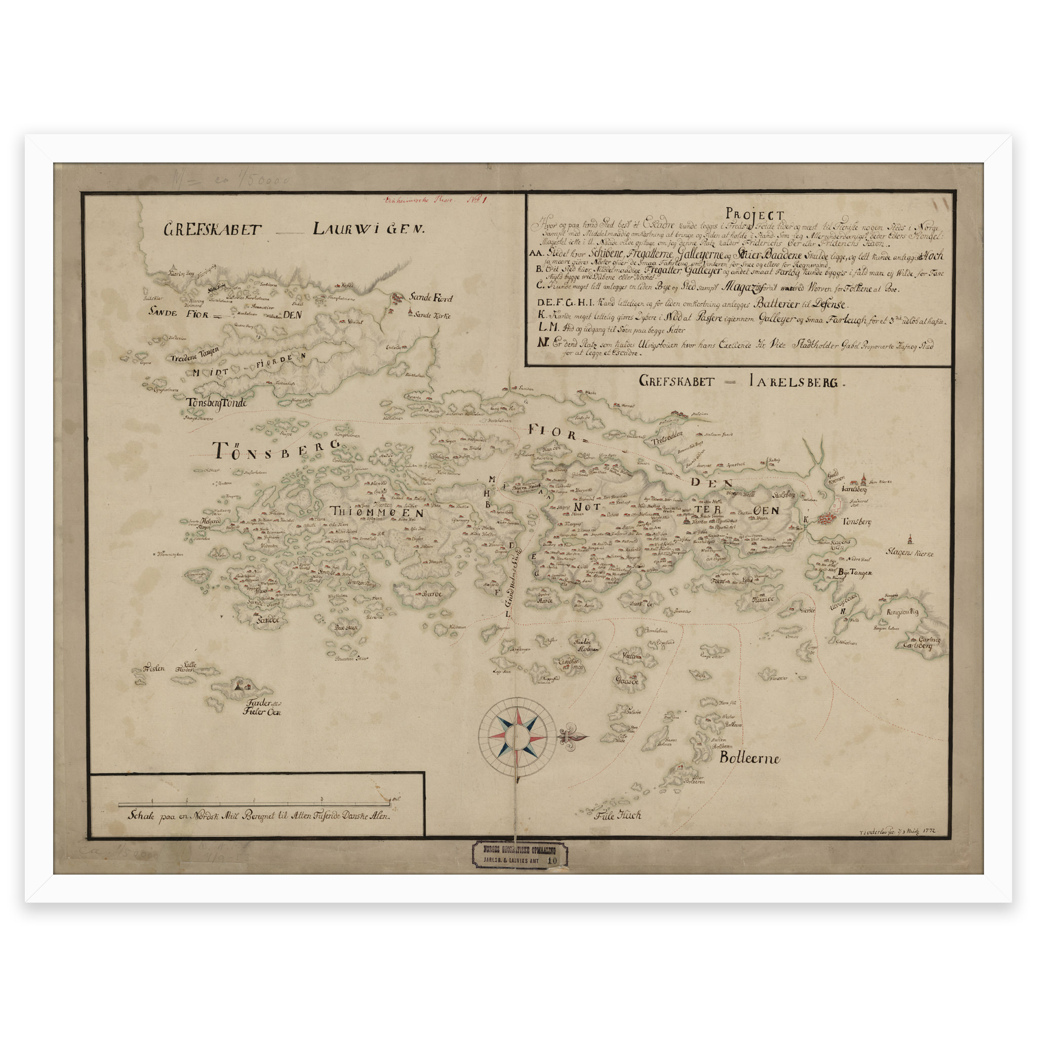
Vestfold 1772
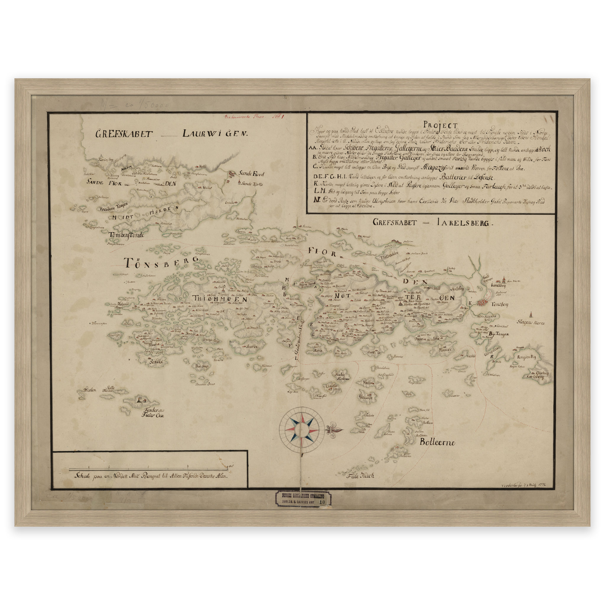
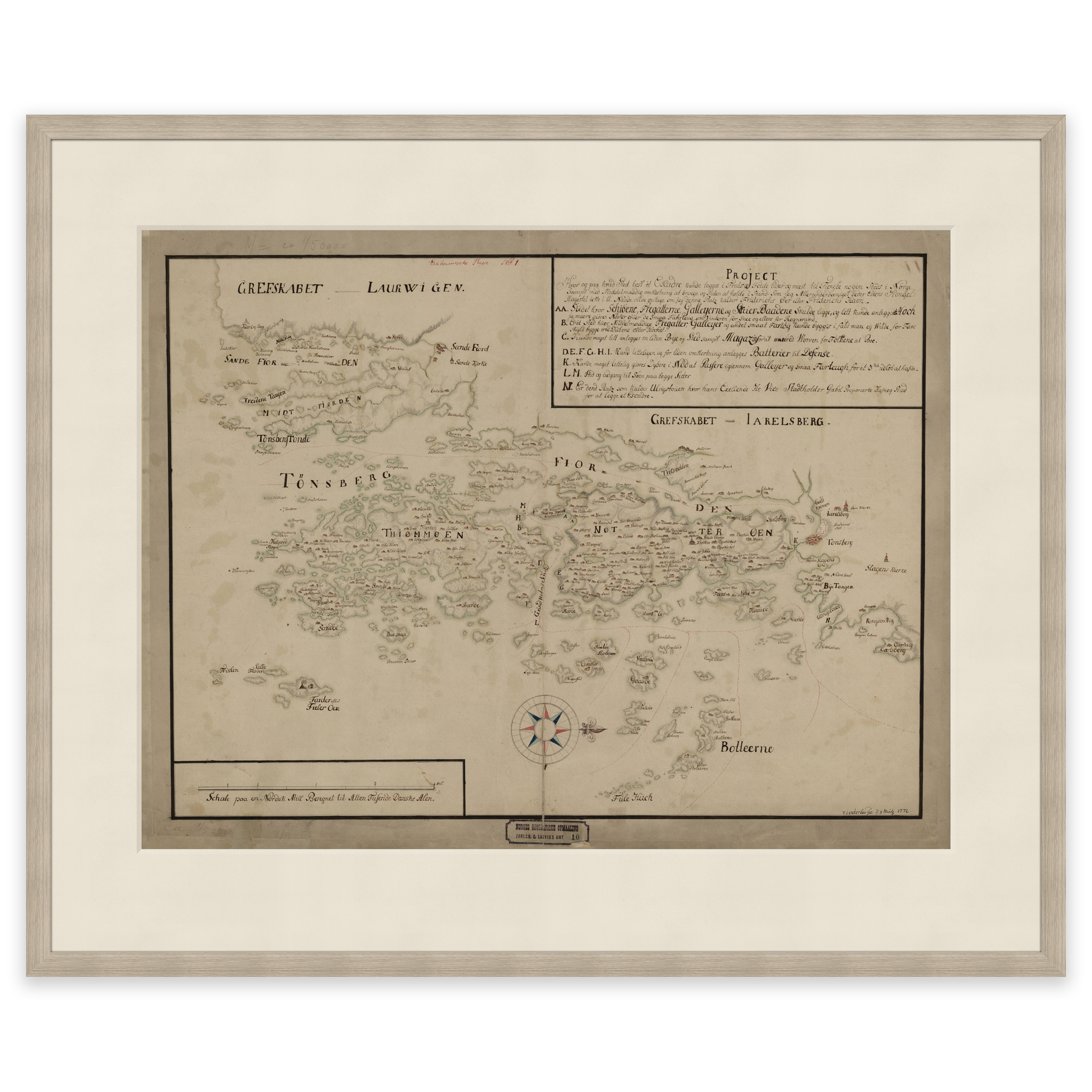
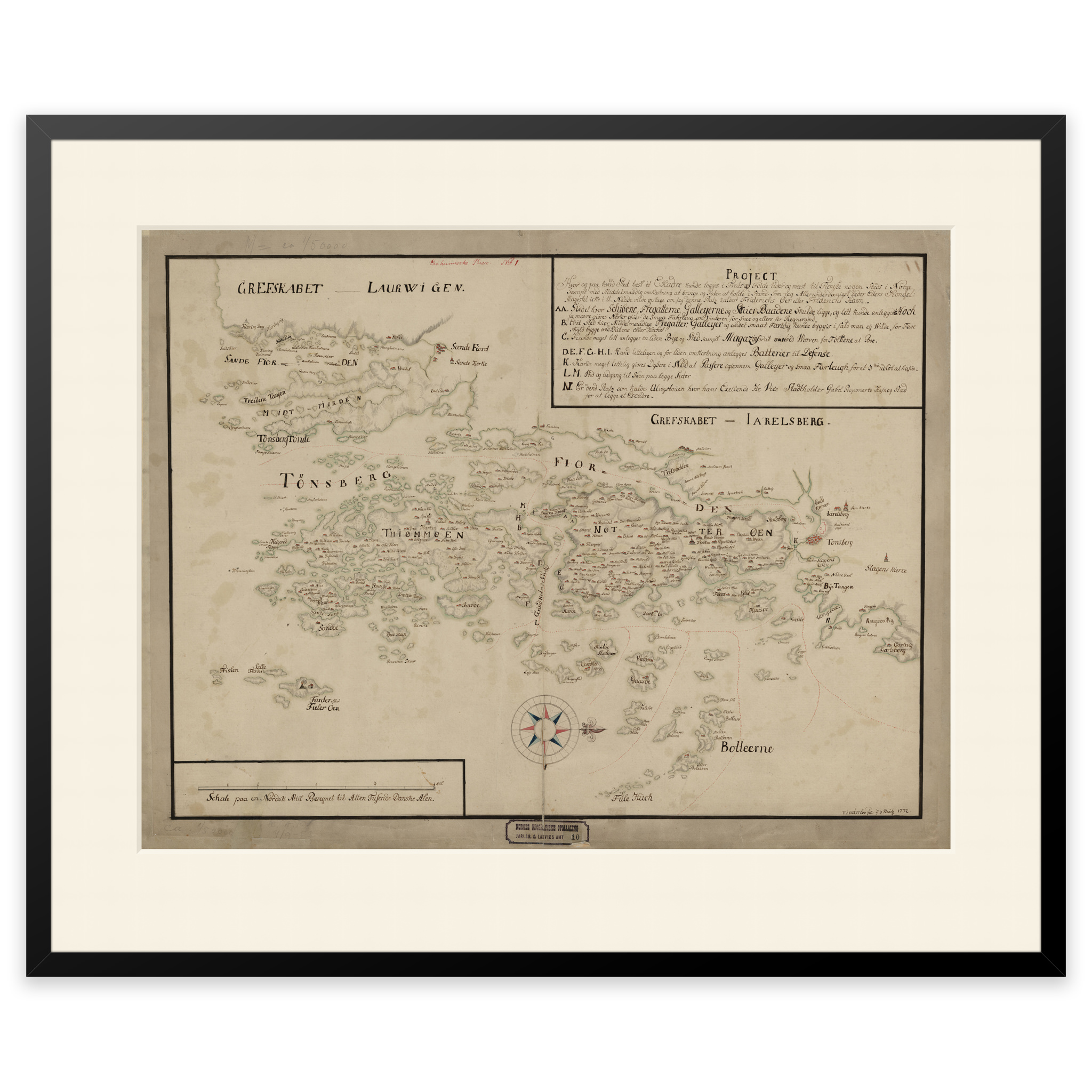
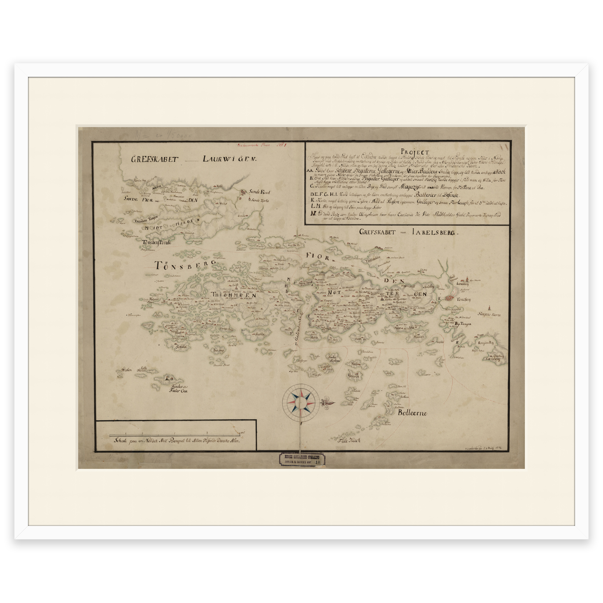
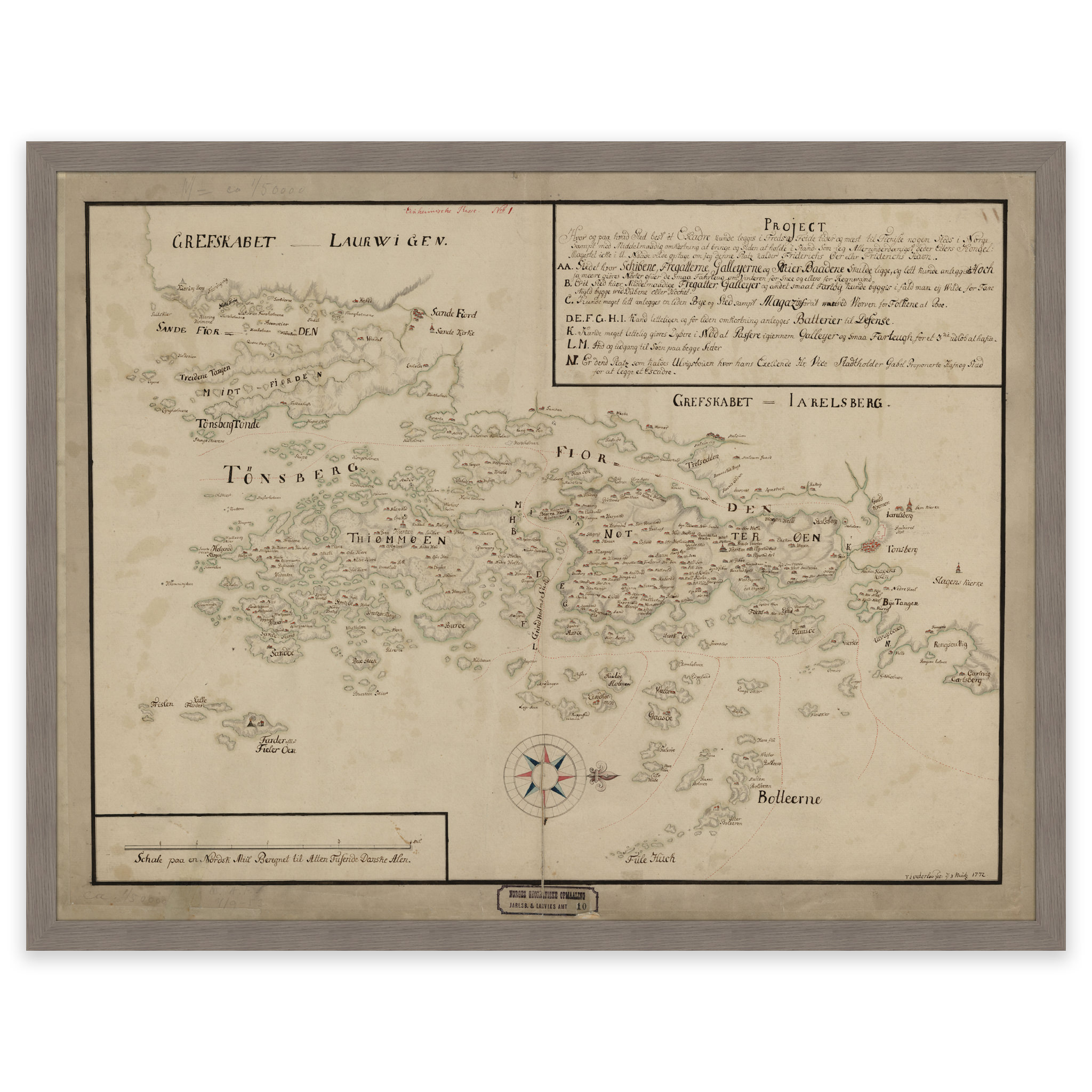
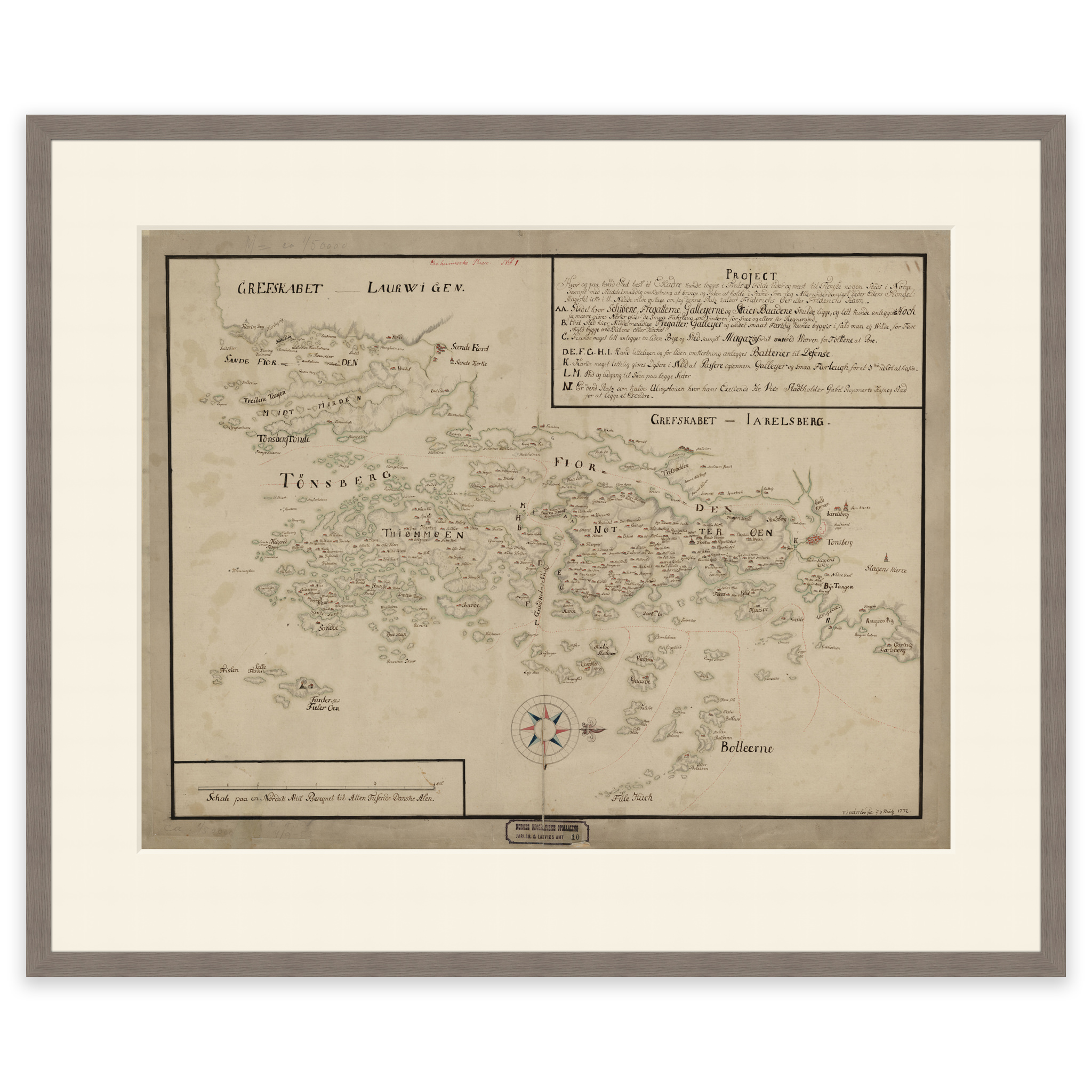
Hand-drawn map of parts of Vestfold county drawn by T. I. Outerloo in 1772. The map covers the area of Tønsberg, Sandefjord, Tønsberg Tønne, Færder Fyr, Tjøme and Nøtterøy. The map is delivered in its original size of 65.9 x 50.9 cm. The size with frame and passe-partout is 83.9 x 69.9 cm. Would you like the map in a different size? Just get in touch – we’ll be happy to give you a quote for customization.