

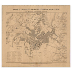
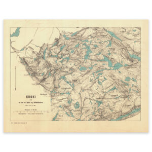
 Western Norway


Western Norway
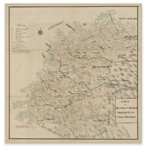
Hand-drawn map of parts of Vestland and Møre og Romsdal. The map covers the area from Harøyfjorden in the north to Øygarden in the south, up to and including Sognefjorden and Stryn in the east. The map is delivered in its original size 121.5 x 63.8 cm. Do you want the map in a different size? Just get in touch – we’ll be happy to give you a quote for customization.