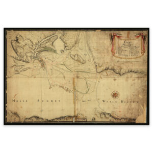

 Snertingdalen 1827


Snertingdalen 1827
Hand-drawn map of Snertingdalen and the area between Raufoss and Randsfjorden. The map is delivered in its original size of 25.5 x 47.3 cm. The size with frame and passepartout is 41.5 x 64.3 cm. Would you like the map in a different size? Just get in touch – we’ll be happy to give you a quote for customization.