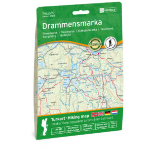
Description
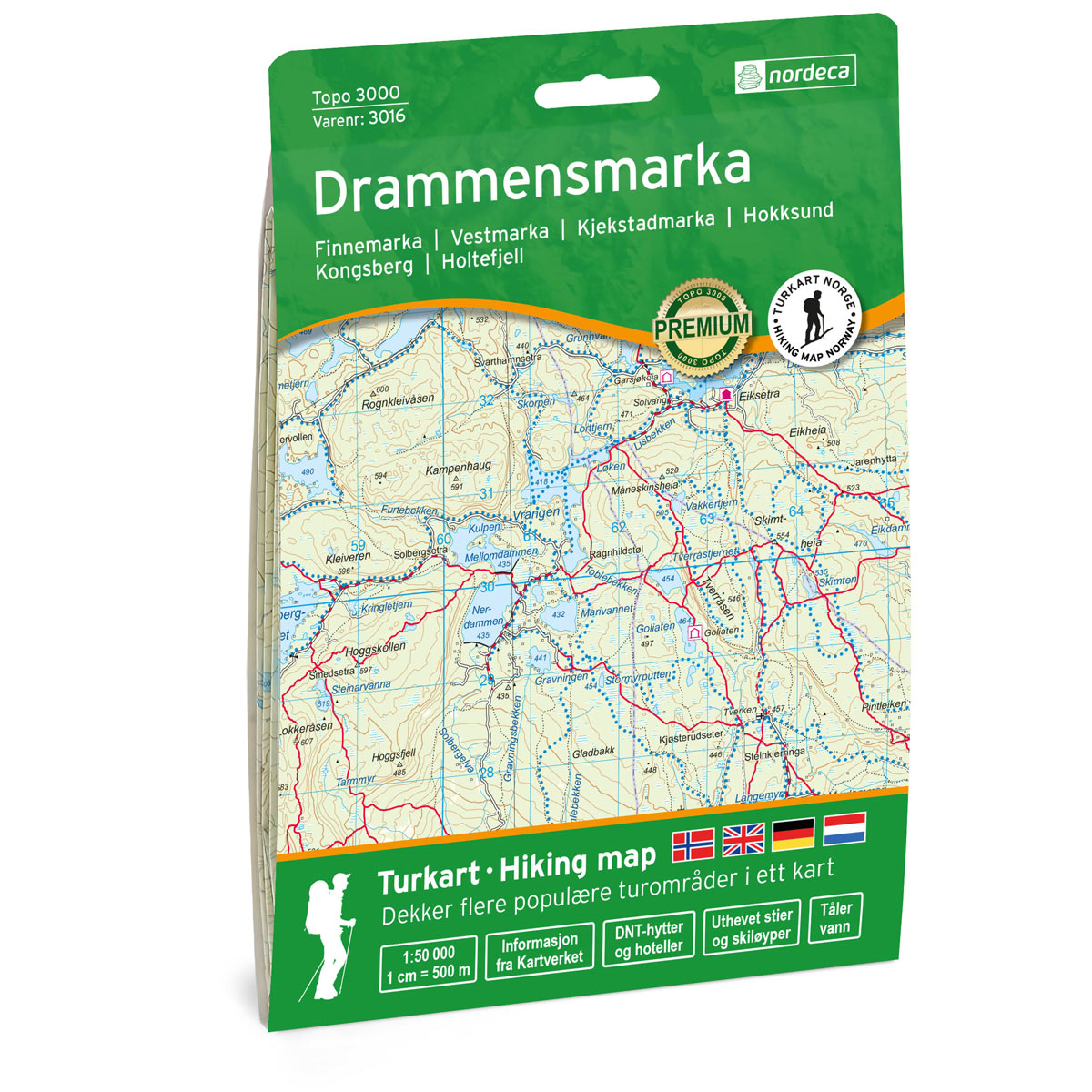
This map covers the Drammensmarka Topo 3000 Hiking Map area and is developed by Nordic Maps (formerly Nordeca) for practical use in navigation and planning.
Both series contain map data from the Norwegian Mapping Authority and are printed on durable and water-resistant plastic fiber. The map is printed at a scale of 1:50,000 and features maps on both sides of the sheet.
The Topo series is a reliable and time-tested map that has been a favorite among mountain hikers for decades. The map is based on data from the Norwegian Mapping Authority and covers popular hiking areas with highlighted trail information. The map coverage is tailored to relevant hiking areas and is less systematically divided than the Norway Series, which many find more practical for field use.
DNT’s marked summer routes and cabins are clearly displayed on the map. The map is printed on both sides of the sheet, unlike the Hiking Map Series where hiking information is gathered on the back.
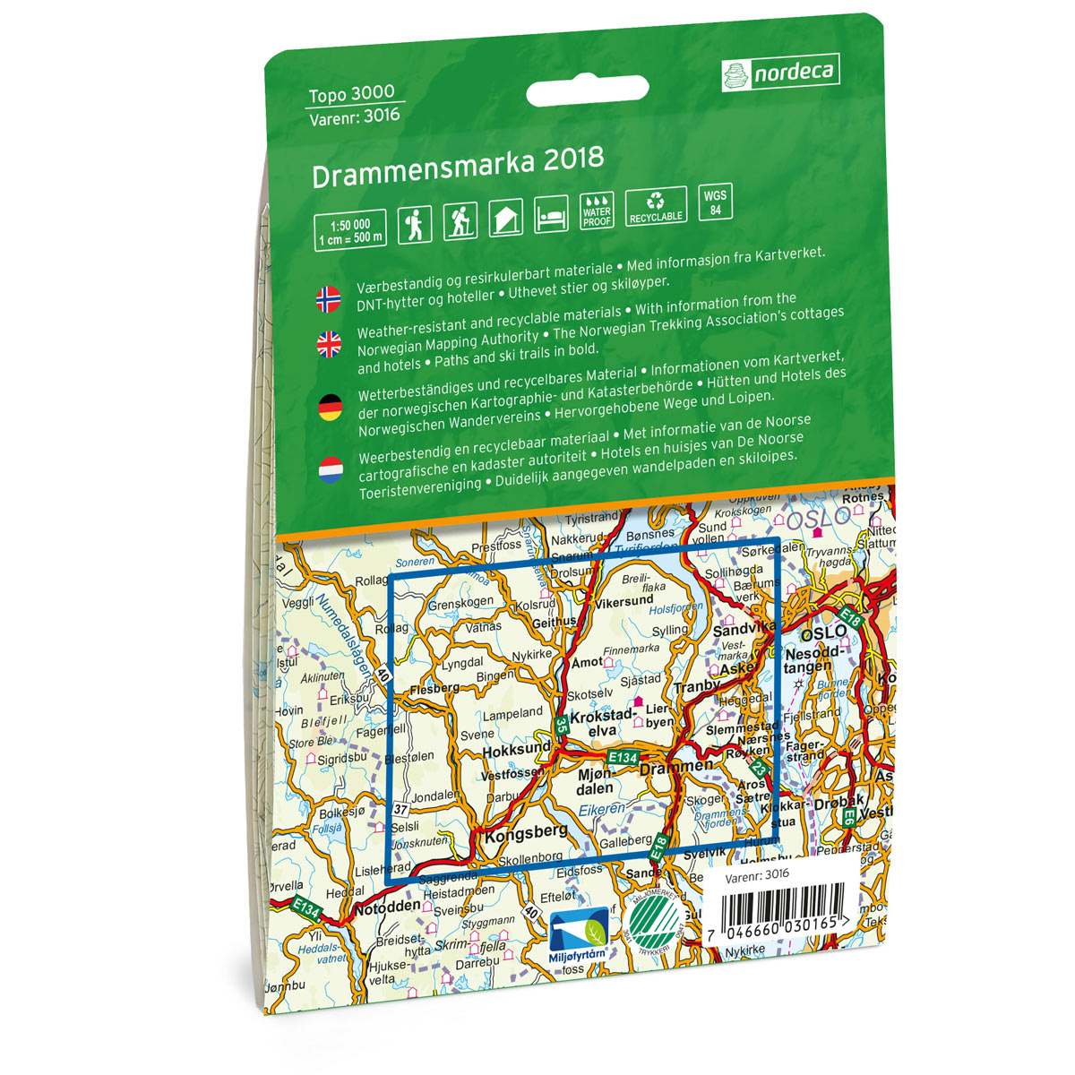
The map was published in 2018. Although some details may have changed since publication, the map still provides an excellent and reliable basis for trip planning and navigation.
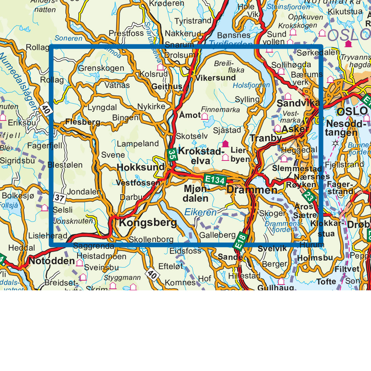
The map covers areas such as Finnemarka, Vestmarka, Kjekstadmarka, Hokksund, Kongsberg, and Holtefjell.