Description
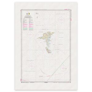
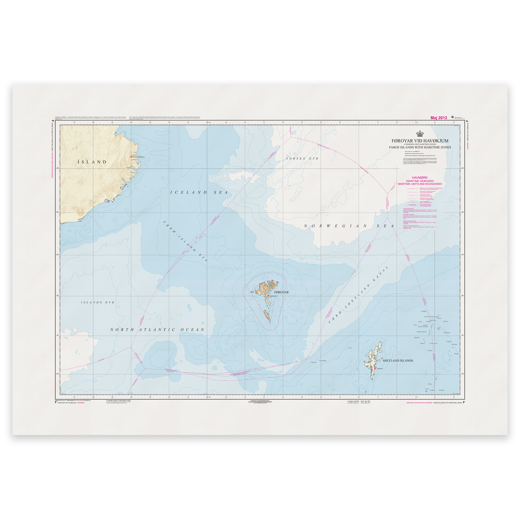
Faroe Islands Chart F – Faroe Islands with Maritime Zones is an official nautical chart published by Geodatastyrelsen at a scale of 1:1 150 000.
The map shows the Faroe Islands with associated maritime zones and jurisdictional boundaries in the surrounding waters. With a scale of 1:1,150,000, the map provides a comprehensive overview of the archipelago and the maritime areas defined in accordance with applicable maritime law and national regulations.
The map is particularly suitable for administrative use, planning, teaching and documentation, and as an overview map for stakeholders in fisheries, offshore activities, research and public administration. Maritime zones such as territorial waters, adjacent zones and economic zones (EEZ) are shown where relevant.
This is primarily an overview chart and does not contain detailed hydrographic information to the same extent as coastal and harbor charts on a larger scale. For operational navigation, ordinary nautical charts adapted to the relevant waters are recommended.
The map is delivered as Print-on-Demand (POD) under license from Geodatastyrelsen. It is produced when ordered and updated to the latest available Notices to Mariners at the time of printing. You’ll receive a fresh and updated reprint based on current official map data.
The map is printed on durable, matte 125 g paper approved for official nautical charts. Corrections are published continuously, and new updates may occur after printing. With Print-on-Demand, you get the most up-to-date paper edition practical at the time of ordering.