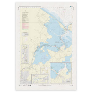
Description
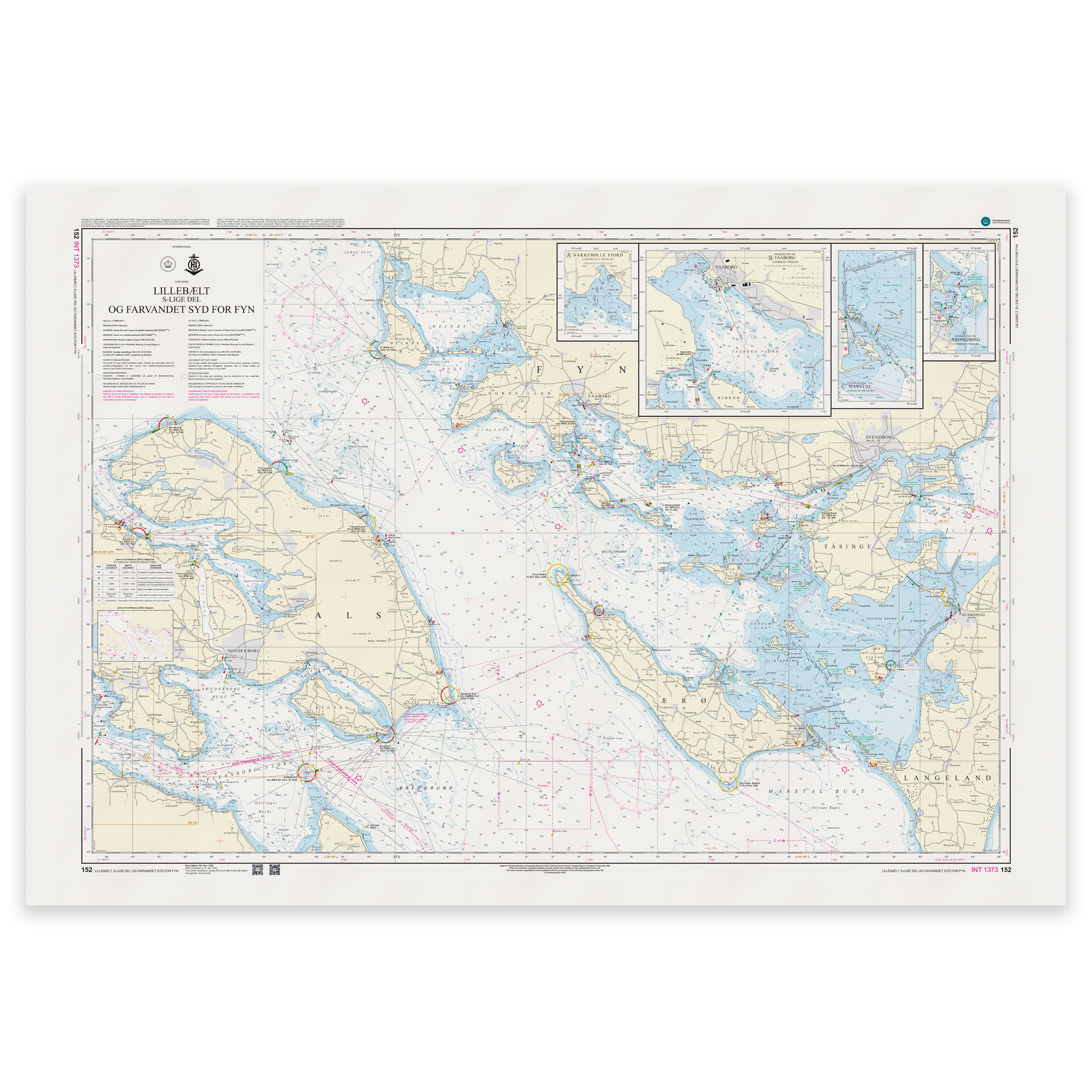
Denmark Chart 152 – Lillebælt, southern part and the waters south of Fyn (INT 1373) is an official Danish nautical chart published by Geodatastyrelsen at a scale of 1:75 000.
The map covers the southern part of the Little Belt and the waters south of Funen. The area includes important passages between Jutland and Funen, as well as the transition to the South Funen archipelago and the inner Danish waters.
This is a port of call and passage chart, developed for navigation in coastal main waters and regional passages. The map shows leads, lighthouses, beacons, traffic regulations and detailed depth conditions that are essential for safe navigation in the area.
The 1:75,000 scale provides a good balance between overview and detail, and is suitable for both voyage planning and operational navigation.
The chart is also published as INT 1373 and is part of the International Chart Series coordinated by IHO. The INT number means that the chart follows international standards and is harmonized for use in international shipping.
The map is delivered as Print-on-Demand (POD) under license from Geodatastyrelsen. It is printed when ordered and updated to the latest available Notices to Mariners at the time of production.
You’ll receive a fresh and updated reprint based on current official map data.
The chart is produced on durable, matte 125 g paper approved for official nautical charts.
Corrections are published continuously and new updates may occur after printing. Print-on-Demand ensures that you get the most up-to-date paper edition available when ordering.