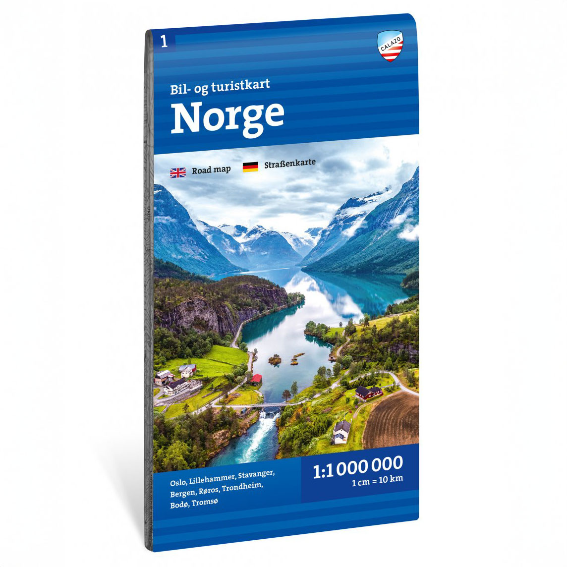


Description
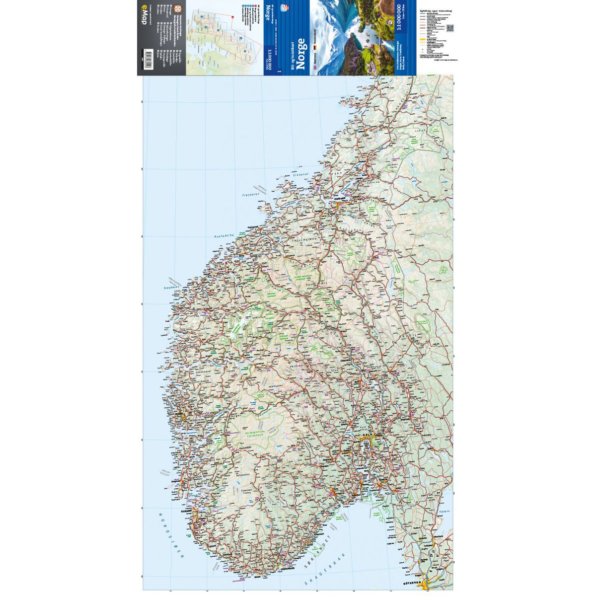
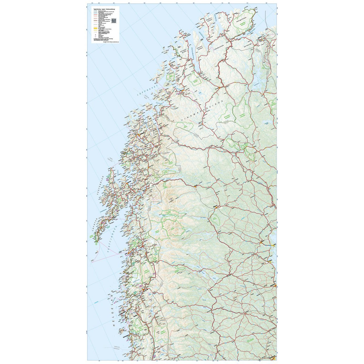
This car and tourist map covers the whole of Norway and provides a comprehensive overview of the country’s road network from south to north. The map is designed for planning longer road trips and provides a clear picture of main roads, connections and key destinations throughout the country.
National tourist routes, major towns, ferry connections and important natural and cultural attractions are highlighted, making it easy to plan routes through fjords, mountains and coastal areas. The map is ideal for pre-trip overview planning and as a reference along the way.
The map is at a scale of 1:1,000,000, which provides a broad national overview. At this scale, 1 cm on the map corresponds to 10 km in the terrain, making the map particularly suitable for planning longer journeys and overall route choices.
The map is printed on durable paper suitable for travel.
Calazo Förlag is a Swedish publishing house specializing in maps and books for outdoor life in the Nordic region.
Here you can see the area the map covers:
The map is released in 2025.