Description
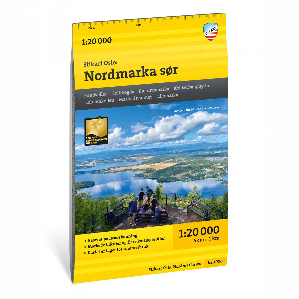
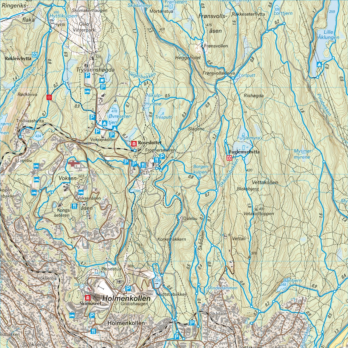
Stikart Oslo: Nordmarka South covers the southern part of Nordmarka and is one of four maps at a scale of 1:20,000 that together provide a detailed representation of Oslomarka. The map has been developed after input from key hiking and outdoor recreation operators in the region and is adapted to the extensive use of the area throughout the year.
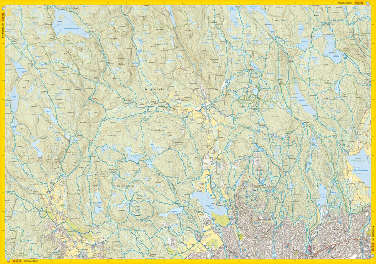
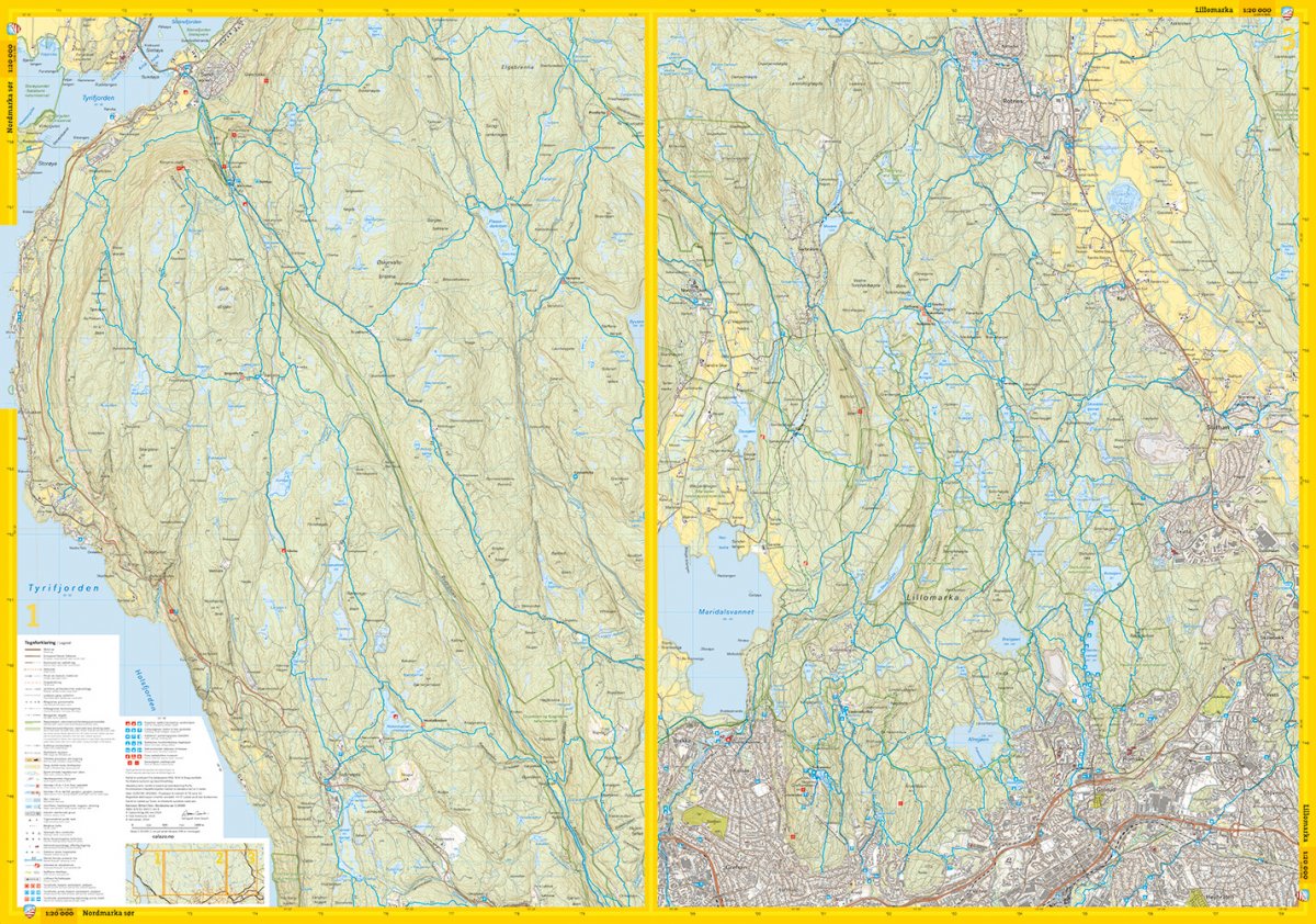
The southern part of Nordmarka is one of the most used outdoor areas in Oslo, with a dense network of paths and trails. The map provides an up-to-date and accurate representation of trails, contours and terrain shapes, making it easy to plan both short short walks and longer continuous trips in the field. The area is used by hikers, runners and trail cyclists, and the map provides a good overview of the terrain and infrastructure for outdoor activities.
The map is at a scale of 1:20,000, which gives a very detailed picture of the terrain. At this scale, 5 cm on the map corresponds to 1 km in the terrain. This provides good readability and precise orientation in varied terrain.
Calazo Förlag is a Swedish publishing house specializing in maps and books for outdoor life in the Nordic region.
The map is released in 2024.
Here you can see the area the map covers:
The map is released in 2024.