
Description
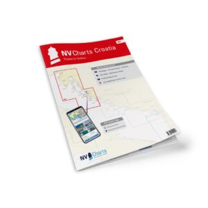
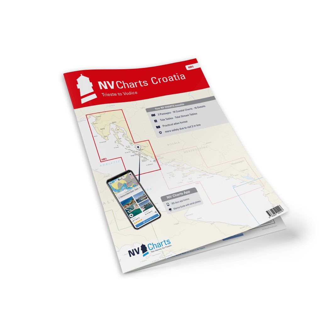
NV Charts Croatia HR1 Trieste-Vodice is a complete chart package of paper and digital nautical charts covering the waters from Trieste in Italy via Istria and Kvarner Bay to Vodice in Croatia. Specifically designed for leisure sailing and coastal cruising in the northern Adriatic, the charts provide clear navigational information on approaches, harbors, anchorages, channels and waterway details.
The map pack starts with passage maps that provide a good overview for planning longer stages. This includes Adriatic Sea in 1:1,750,000 scale, Trieste to Rt. Veli Rat in 1:350,000 and Rt. Veli Rat to Vodice at a scale of 1:350,000, providing a comprehensive picture of the entire sailing area from Italy to Croatia.
Detailed medium scale coastal maps provide good coverage of the entire coastline from Italy into Croatia. These include Gulf of Trieste at 1:100,000, Portorož to Rovinj at 1:100,000, Rovinj to Pula at 1:100,000, Pula to Cres at 1:100,000, Rijecki Zaljev at 1:100,000, Velebitski Kanal, both northern part and whole channel at 1:100,000, Kvarneric northern part and Kvarneric at 1:100,000, Hr. Porer to Otok Ilovik in 1:100 000, Novigradsko More in 1:100 000, O. Olib to O. Ugljan in 1:100 000, O. Molat to O. Pašman in 1:100 000 and O. Iž to O. Murter in 1:100 000 providing in-depth coastal details for the entire stretch.
The atlas also includes an extensive range of detailed maps at larger scales for navigating ports, straits and local areas. These include Trieste at 1:25,000, Koper at 1:8,000, Izola at 1:8,000, Portorož at 1:25,000, Umag at 1:10,000, Novigrad at 1:12,000, Rovinj at 1:15,000, Pomer Bay at 1:40,000, Porec to Vrsar at 1:30,000, Pula to Veruda at 1:25 000, Zaljev Raša in 1:30 000, Cres in 1:12 000, Marina Opatija in 1:6 000, Marina Admiral in 1:10 000, Rijeka in 1:20 000, Crikvenica in 1:6 000, Novi Vinodolski in 1:6 000, Bakarski Zaljev in 1:22 000, Tihi Kanal in 1:25 000, Malinska in 1:6 000, Krk in 1:6 000, Puntarska Draga i 1:15 000, Senj i 1:6 000, Rab i 1:12 000, Supetarska Draga i 1:20 000, Jablanac i 1:6 000, Novalja i 1:6 000, Pag i 1:6 000, Losinjski Kanal i 1:20 000, Ilovicka Vrata i 1:25 000, Luka Mali Lošinj i 1:25 000, Sedmovrace i 1:30 000, Prolaz Zapuntel in 1:15 000, Zadar in 1:15 000, Marina Dalmacija in 1:10 000, Pašmanski Kanal in 1:40 000, Pirovacki Zaljev in 1:40 000, Kornatski Kanal in 1:50 000, Luka Telašcica in 1:50 000 and Kurba Vela in 1:50 000 for local navigation in Croatia.
The chart package is delivered in atlas format combined with digital access via the NV Charts app and for PC/Mac, allowing you to use the charts offline on multiple devices. The digital charts provide up-to-date navigational data, port information and anchoring details that are useful for both planning and sailing. The chart set also includes port plans in paper and digital format, as well as all necessary navigational notes for safe navigation.
Always delivered in the latest available edition from NV Charts. If a new and updated edition is launched within 30 days of purchase, the map can be exchanged for a new edition free of charge.