Description
NV Charts France FR1 Oostende-Cherbourg is a detailed chart set in combination with digital nautical charts covering the coast from Oostende in Belgium along northern France via Dunkirk, Calais, Dieppe and Le Havre to Cherbourg. The charts provide the skipper with a clear overview of water conditions, approaches, ports, anchorages and shipping lanes in this busy and important sailing area of the English Channel.
The map package includes overview and passage maps that provide a good planning overview of the entire area. This includes France – Atlantique at a scale of 1:1,750,000, providing a broad perspective of the French Channel and adjacent waters, Normandy – Ouest at 1:350,000 and Barfleur au Tréport and Le Tréport à Oostende, both at 1:350,000, providing a closer look at the main segments of the coast.
Medium scale area maps provide detailed coastal information. This includes stretches such as Cherbourg à la Baie de Seine (1:150,000), Baie de Seine au Cap d’Antifer (1:150,000), Cap d’Antifer à Dieppe (1:150,000), Dieppe à Vergoyer (1:150,000), Vergoyer à Calais (1:150,000) and Calais à Oostende (1:150,000). Furthermore, there are charts for Cap de la Hague to Cap Lévi (1:60,000), Cap Lévi to Pointe de Saire (1:60,000), Pointe de Saire to la Maresquerie (1:60,000) as well as the entire stretch from Ver-sur-Mer to Rade de Caen (1:60,000) and on to Embouchure de la Seine, La Seine – Honfleur and La Seine à Rouen in 1:60,000 providing in-depth coastal detail for navigation in more complex waters.
The larger scale detail maps provide high resolution for port areas, approaches and specific surrounding areas that are important for safe navigation. These include the port of Cherbourg (1:15,000), Omonville (1:10,000), St-Vaast-la-Hougue (1:10,000), Carentan (1:10,000), Barfleur (1:10 000), Pointe de Saire à St-Vaast-la-Hougue (1:25 000), Grandcamp-Maisy (1:15 000), Fécamp (1:15 000), Courseulles-sur-Mer (1:15 000), Dives-sur-Mer (1:15 000), Port-en-Bessin (1:15 000), Port de Trouville-Deauville (1:15 000), Rouen (1:10 000), Caen (1:20 000), Ouistreham (1:20 000), Honfleur (1:15 000), Le Havre (1:10 000), Calais (1:10 000), St-Valéry-en-Caux (1:15 000), Dieppe (1:15 000), Le Tréport (1:15 000), Boulogne-sur-Mer (1:15 000), Dunkerque (1:20 000), Gravelines (1:20 000), Nieuwpoort (1:20 000) and Oostende (1:20 000).
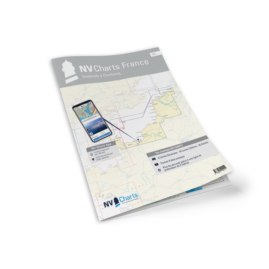
The chart set comes in a convenient atlas format combined with digital access via the NV Charts app and PC/Mac. The digital charts can be used offline and provide access to up-to-date navigation data on board. The charts include tide tables, harbor plans in paper and digital format and all necessary navigational notes for safe sailing.
Always delivered in the latest available edition from NV Charts. If a new and updated edition is launched within 30 days of purchase, the map can be exchanged for a new edition free of charge.