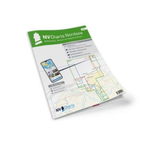
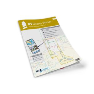
Description
NV Charts DE12 Nordsee Weser-Bremen-Helgoland & Jade is a comprehensive package of paper and digital nautical charts covering the German North Sea coast from the River Weser at Bremen, through Jade Bay and on to the island of Helgoland. The charts are specially designed for recreational sailing and provide detailed navigational information on water conditions, tides, currents, approaches, harbors and sailing routes in this demanding water area. :contentReference
The package comes in the convenient NV Atlas format with paper charts in A3 closed/A2 open format, combined with access to digital charts via the NV Charts app and PC/Mac. The digital charts can be used offline and give you up-to-date information wherever you sail. :contentReference
Characteristics
Paper map in NV Atlas format with high level of detail and good overview.
Digital access via the NV Charts app (offline use, up to 5 devices).
Tide tables and current data included.
Detailed harbor plans and approaches for areas around Weser, Jade and Helgoland.
Navigation details for the North Sea and German waters :contentReference
Map overview
2 Passage map for the Weser and the North Sea.
Approx. 19 coastal maps (e.g. Jade Bay, Weser-Elbe-Wattenfarvann).
Detailed maps of port calls in Bremerhaven, Nordenham, Wilhelmshaven and more in the area.
Tidal information and current data for sailing in these waters :contentReference
Updates
Always delivered in the latest available edition from NV Charts. If a new and updated edition is launched within 30 days of purchase, the map can be exchanged for a new edition free of charge.
EAN / ISBN
9783910644229