


Description
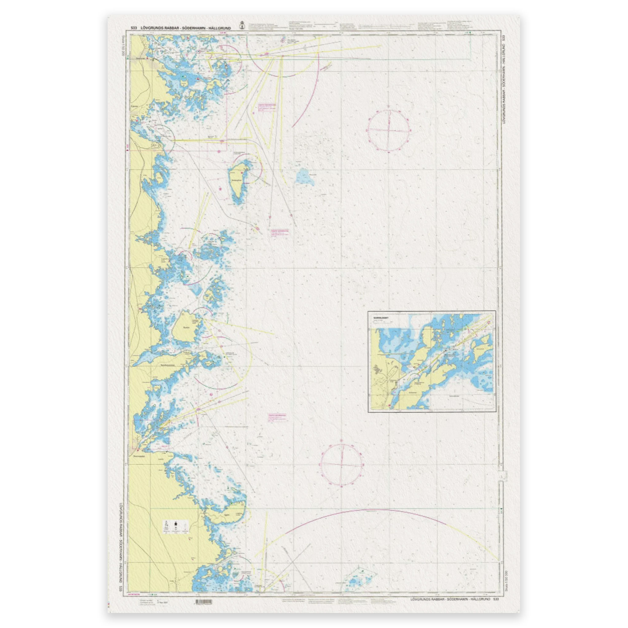
SE 533 Lövgrunds Rabbar – Söderhamn – Hällgrund is an official archipelago chart for the Bothnian Sea. It covers Lövgrunds Rabbar – Söderhamn – Hällgrund at a scale of 1:50 000.
The chart includes separate panels for Norrsundet (1:15 000).
Published by Sjöfartsverket, the Swedish Maritime Administration. Kart.no is an authorised dealer in Norway and supplies the latest available edition. Charts not held in stock are ordered from the publisher.
Check Sjöfartsverket’s Ufs for current editions and chart corrections.
