Description
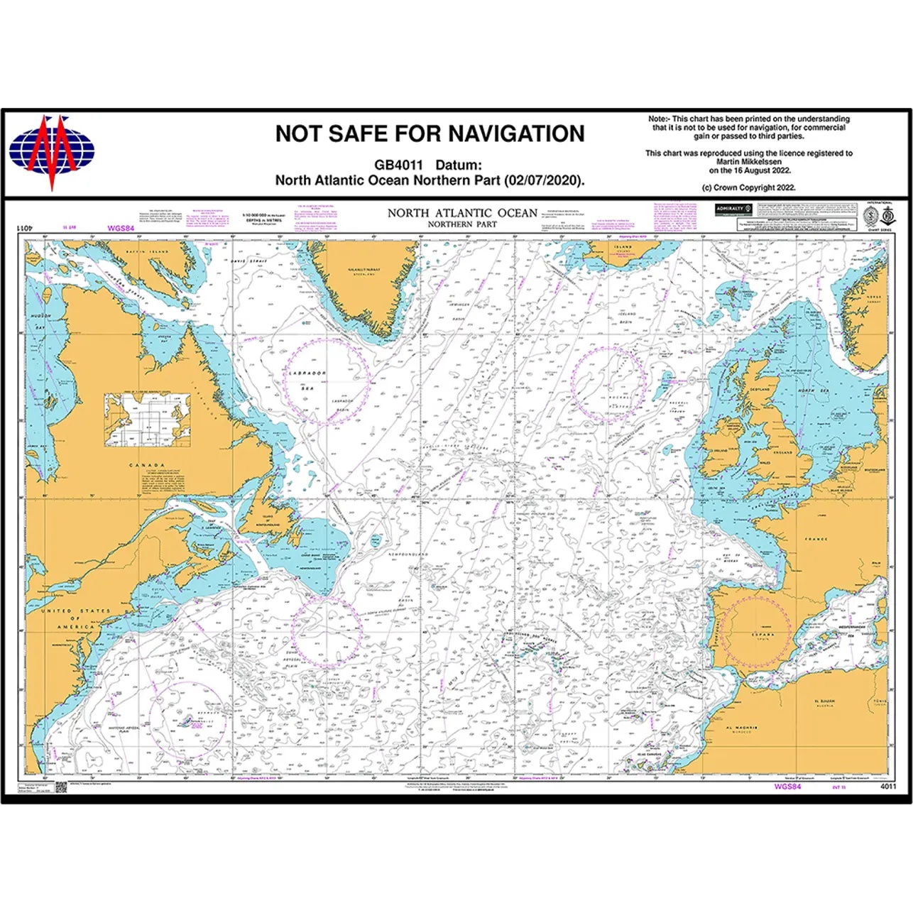
British Admiralty Chart 4011 is an official chart published by the UK Hydrographic Office and covers the northern part of the North Atlantic. The chart is intended for oceanic navigation and planning of long distance voyages between Europe, North America, Greenland and adjacent seas.
The chart provides a comprehensive navigational basis for overseas crossings, showing large depth ranges, submarine banks and ridges, ocean currents, recommended routes and important navigational references in open sea areas. It is particularly suitable as a planning chart for transatlantic voyages in northern waters and for professional navigation outside coastal areas.
British Admiralty charts are used internationally by the merchant navy and meet the requirements of official navigation. The charts are printed on durable paper and continuously updated through Admiralty Notices to Mariners, ensuring a high degree of reliability and navigational safety.