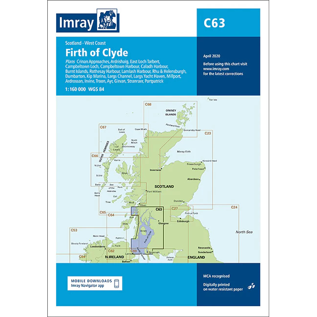
Description
This boating chart covers the Firth of Clyde on the west coast of Scotland, including the inland waters, islands and numerous approaches that make the area one of the most used sailing areas in the UK. The chart is designed for leisure and sailboat navigation in an area that combines sheltered waters, busy harbors and tidal straits.
The map provides an overview of coastlines, islands, fjords and important ports, and is well suited to route planning and overview navigation. It is often used as a master chart in combination with more detailed port and local charts for safe navigation in an area that offers great variation in sailing conditions.
Imray is a renowned British chart manufacturer with extensive experience in nautical charts and publications for leisure boats. Their charts are designed with practical on-board use in mind, combining clear cartography with reliable nautical information for sailors and powerboaters.