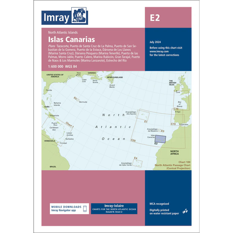
Description
This boating chart covers the Canary Islands in the North Atlantic and is designed for navigating leisure boats and sailboats in the area around the archipelago. The map provides an overview of the islands of Tenerife, Gran Canaria, Lanzarote, Fuerteventura, La Palma, La Gomera and El Hierro, with associated coastlines, sea areas and important approaches.
The map is well suited to both route planning for ocean crossings and navigation between the islands, and is often used as an overview map in combination with more detailed harbor and coastal maps. It provides a clear picture of distances, sea areas and strategic route choices when sailing in this part of the Atlantic.
Imray is a renowned British chart manufacturer with extensive experience in nautical charts and publications for leisure boats. Their charts are designed specifically for practical use on board, combining clear cartography with reliable nautical information.