Description
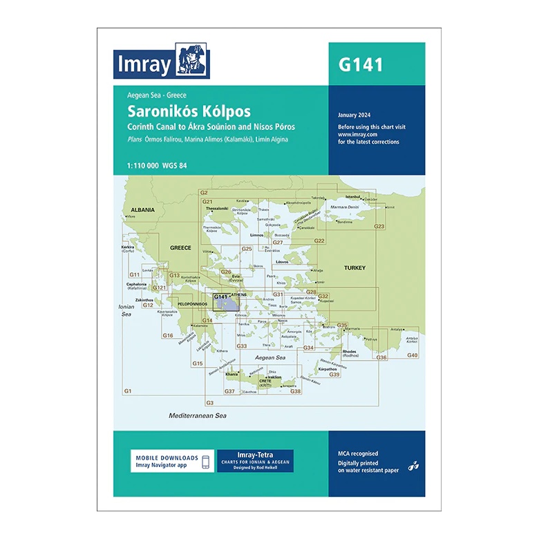
This overview map from Imray covers the Saronic Gulf (Saronikós Kólpos) – one of Greece’s most popular and busy sailing areas – with coverage from the Corinth Canal in the west to Ákra Soúnion and Nísos Póros in the southeast. The map provides a detailed regional overview of an area that combines short-haul sailing, numerous ports and proximity to Athens.
The chart includes plan views and approaches to Órmos Falírou, Marína Álimos (Kalamáki), Liménas Aígina, as well as key islands and ports in the Saronic Gulf, among others. It is ideal for route and day sailing planning, and highly suitable for charter sailing and local coastal navigation.
Printed on water-resistant paper and manufactured to MCA approved standards, with support for digital updates via the Imray Navigator app.