Description
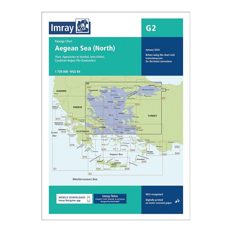
This passage chart from Imray covers northern parts of the Aegean Sea, providing a broad regional overview of the sailing area between northern Greece and Turkey, including connections to the Sea of Marmara. Developed for long-range and passage planning, the chart is particularly relevant for sailors moving between the Aegean, Dardanelles and Black Seas.
The map includes plan views and approaches to Istanbul, İzmit Körfezi and Çanakkale Boğazı (Dardanelles), among others. It provides a good overview of main fairways, coastlines and strategic sailing routes in an area characterized by dense traffic and important maritime hubs.
Printed on water-resistant paper and manufactured to MCA approved standards, with support for digital updates via the Imray Navigator app.