Description
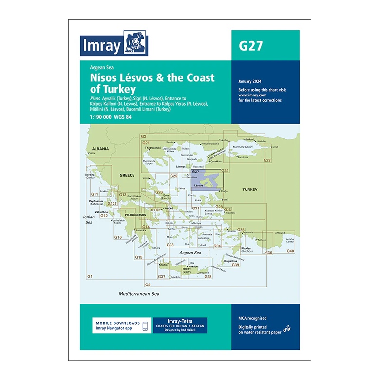
This overview chart from Imray covers Lésvos (Lesbos) and the adjacent Turkish coast in the north-eastern Aegean. The chart provides a clear regional overview of a varied sailing area with short distances between Greek islands and Turkish ports, and is well suited for both coastal sailing and cross-border routes.
The map includes plan views and approaches to Ayvalık (Turkey), Sigri, the east coast of Lésvos, Kólpos Kalloni, Míthimna (Molivos) and Bandırma Limanı (Turkey), among others. Developed for passage and route planning, it serves as a useful supplement to more detailed coastal and harbor charts in the area.
Printed on water-resistant paper and manufactured to MCA approved standards, with support for digital updates via the Imray Navigator app.