Description
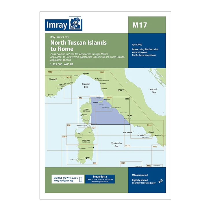
This overview chart from Imray covers northern Tuscany and the Italian west coast south to Rome, including the northern Tuscan islands. The map includes the sailing areas around Elba, Capraia, Giglio and Montecristo, as well as the coastal stretch from Livorno via Civitavecchia to Rome/Anzio.
Developed for passage and route planning in the Tyrrhenian Sea, the map provides a clear regional overview of the connection between the islands and the mainland. It includes plan views and approaches to key ports and anchorages, and acts as a natural complement to more detailed coastal and harbor charts for the area.
Printed on water-resistant paper and manufactured to MCA approved standards, with support for digital updates via the Imray Navigator app.