Description
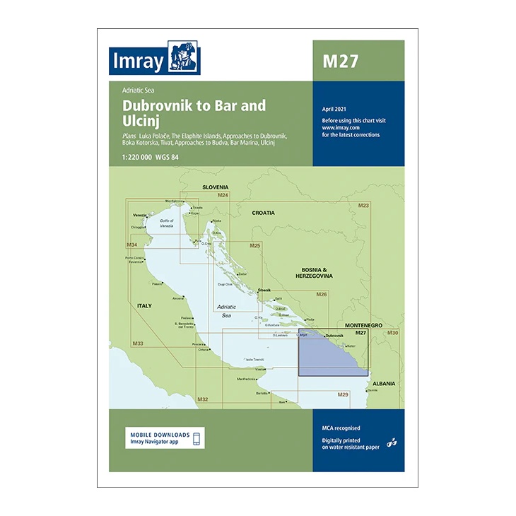
This overview map from Imray covers the coastline from Dubrovnik in Croatia to Bar and Ulcinj in Montenegro, as well as associated waters in the southern Adriatic. The map includes plan views and approaches to key ports and anchorages, including Dubrovnik, Bay of Kotor, Budva, Bar Marina and Ulcinj.
Developed for passage and route planning, the map provides a good regional overview for sailors traveling along the Balkan coast or planning longer voyages in the Adriatic. It serves as a useful supplement to more detailed coastal and harbor charts.
Printed on water-resistant paper and produced to MCA-approved standards, with support for digital updates via the Imray Navigator app.