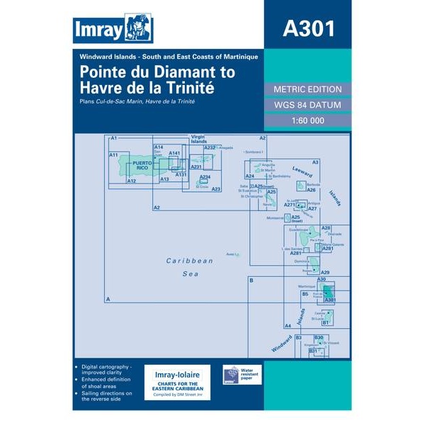
Description
This boating chart from Imray covers the south and east coasts of Martinique, from Pointe du Diamant to Havre de la Trinité. The chart is detailed and well suited for coastal navigation, harbor entry and voyage planning along this part of the island.
The chart shows the coastline, depths, navigation marks and selected ports and anchorages, and is adapted for use by yachts and sailboats operating in Caribbean waters. It serves both as a practical navigation chart en route and as a support for route and port planning.
Imray is a well-established British chart manufacturer specializing in nautical charts for leisure and long-distance sailing. The charts are developed with a focus on clarity, ease of use and practical application for sailors.