Description
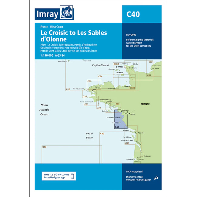
This boating map covers the French Atlantic coast from Le Croisic in the north to Les Sables-d’Olonne in the south. The map includes detailed plans of key ports and harbors, including Le Croisic, Saint-Nazaire, Pornic, L’Herbaudière, Goulet de Fromentine, Port de Saint-Gilles-Croix-de-Vie and Les Sables-d’Olonne.
The chart is well suited for leisure boats and sailboats navigating along the west coast of France, either as part of coastal sailing or in connection with longer legs further south in the Bay of Biscay. The area is characterized by tides, shallow waters and complex approaches, and the chart provides a solid foundation for safe route planning and navigation.
Imray is a recognized British chart manufacturer with extensive experience in nautical cartography for leisure and long-distance sailing. Their charts are developed with a focus on good readability, practical use and clear presentation of navigation-relevant information.