Description
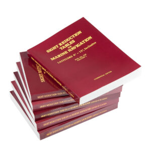
Sight Reduction Tables – Pub. 229 Volume 2 is a classic nautical publication used in astronomical navigation at sea. The table is part of the Sight Reduction Tables for Marine Navigation series (Pub. 229), designed to make calculating position from celestial observations faster and more convenient for navigators.
The publication is used in conjunction with the Nautical Almanac, sextant and a precise chronometer to reduce observations of the sun, moon, planets and navigational stars to a position line on the chart. Using pre-calculated trigonometric tables, the navigator can look up the altitude and azimuth of a celestial body without having to perform complicated mathematical calculations along the way. This makes the tables a robust aid for traditional navigation when electronic navigation systems are not available.
Pub. 229 Volume 2 covers latitudes from 15° to 30° and is therefore particularly useful in subtropical and temperate seas. Together with the other volumes in the series, Sight Reduction Tables provide global coverage for astronomical navigation.
Sight Reduction Tables is structured for practical use on board, with systematic look-up tables that make it easy to find the necessary data during navigation. The publication is still used in maritime education, by long-distance sailors and by navigators who want to master classical astronavigation as a supplement to modern electronic systems.