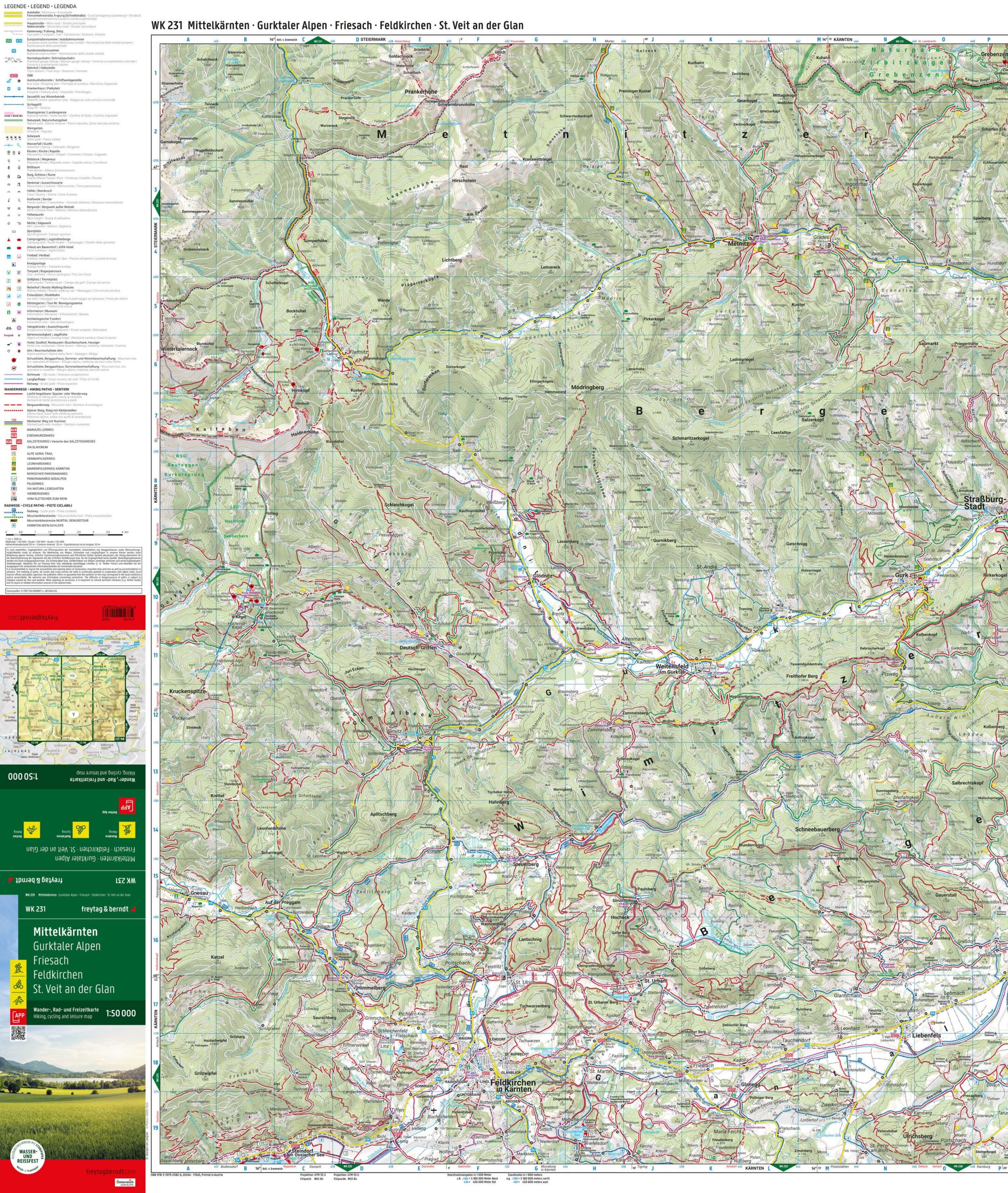

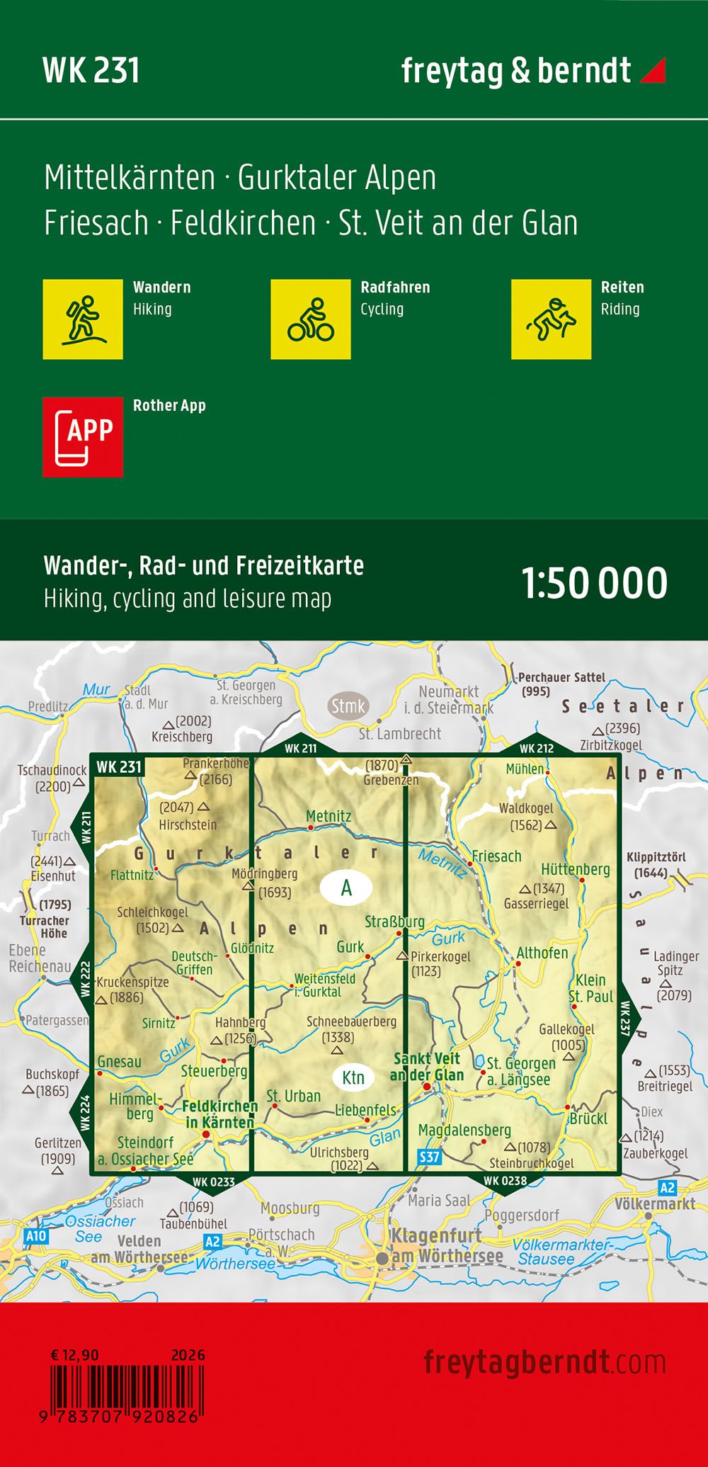
Description
This road map covers Mittelkärnten and central parts of the Gurktaler Alpen, with areas such as Feldkirchen, Friesach and St. Veit an der Glan. The map provides a clear representation of main roads and smaller connections, and is well suited for car travel, cycling tours and general planning of stays in the region. The area combines alpine landscapes, valleys, lakes and historic towns, and the map provides a good basis for orientation both on longer transit routes and for local excursions. The cartography is clear and easy to read, adapted for practical use both before and during travel. Release year: 2025.