
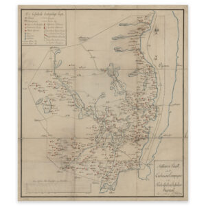

 Hadeland 1827
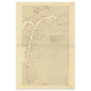

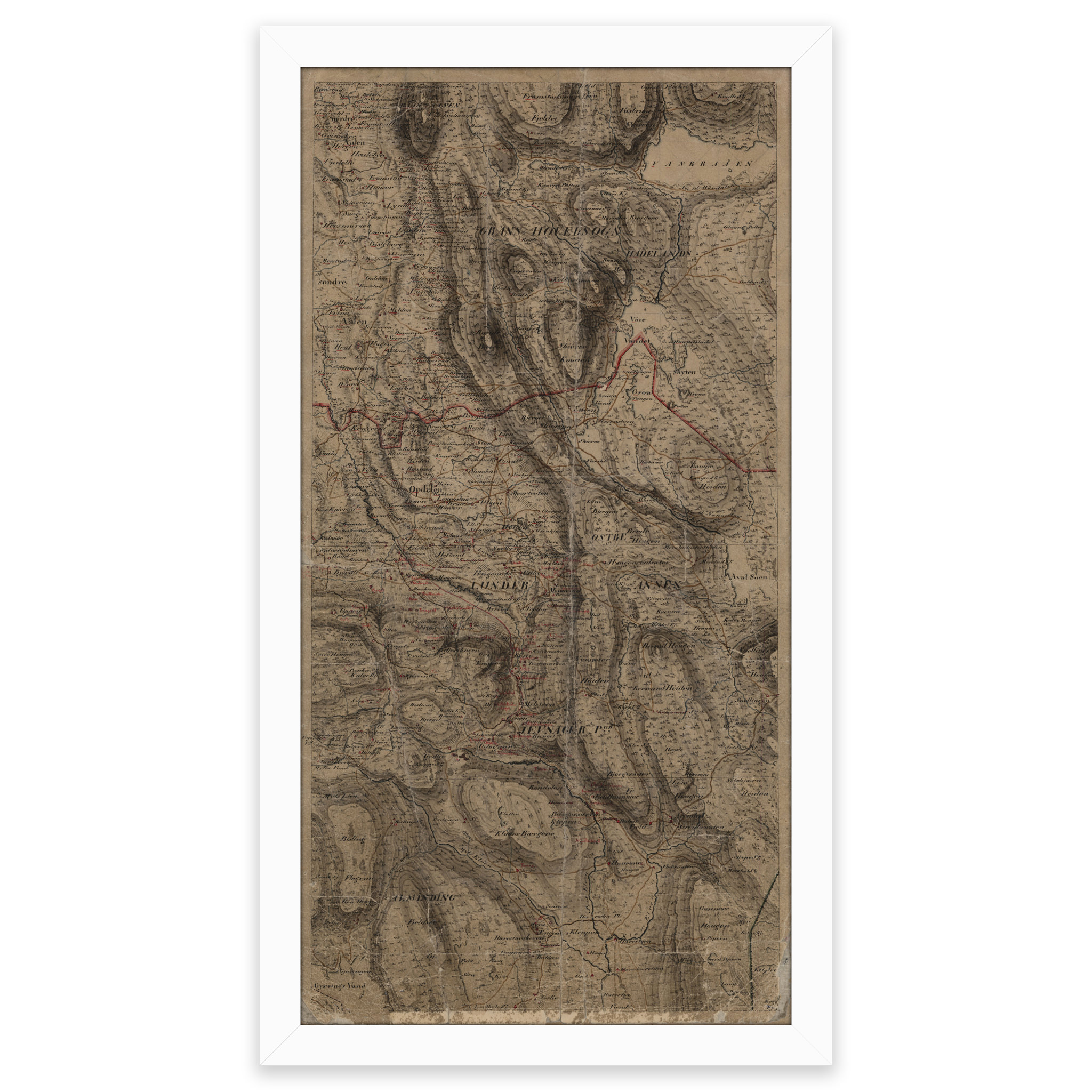
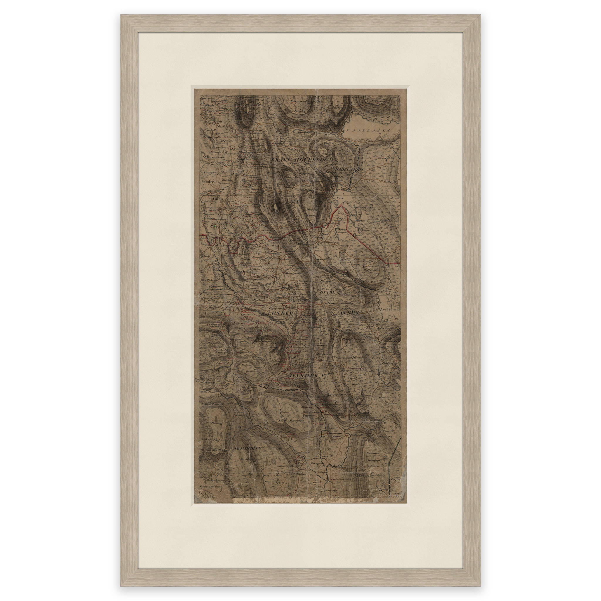
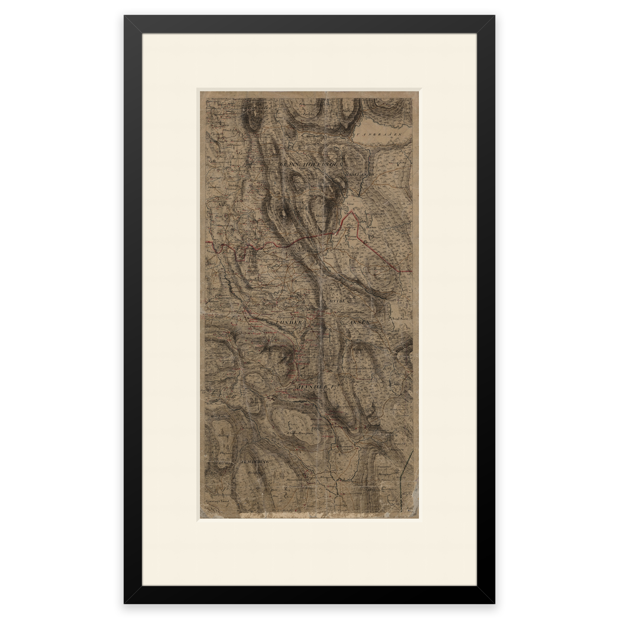
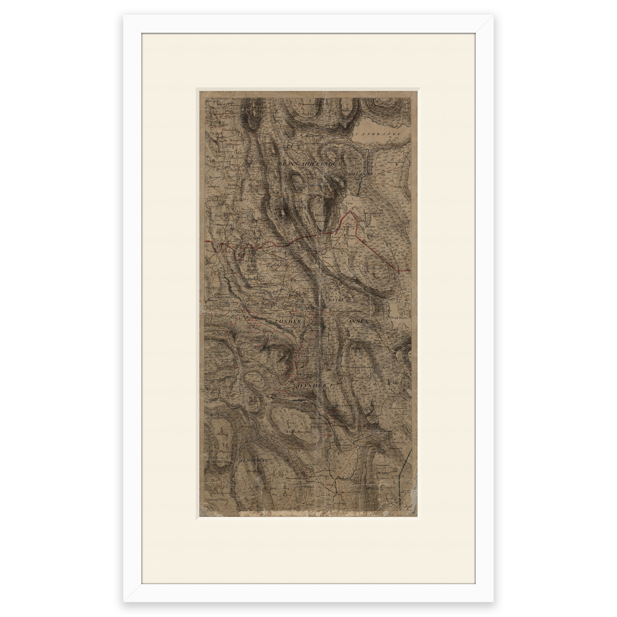
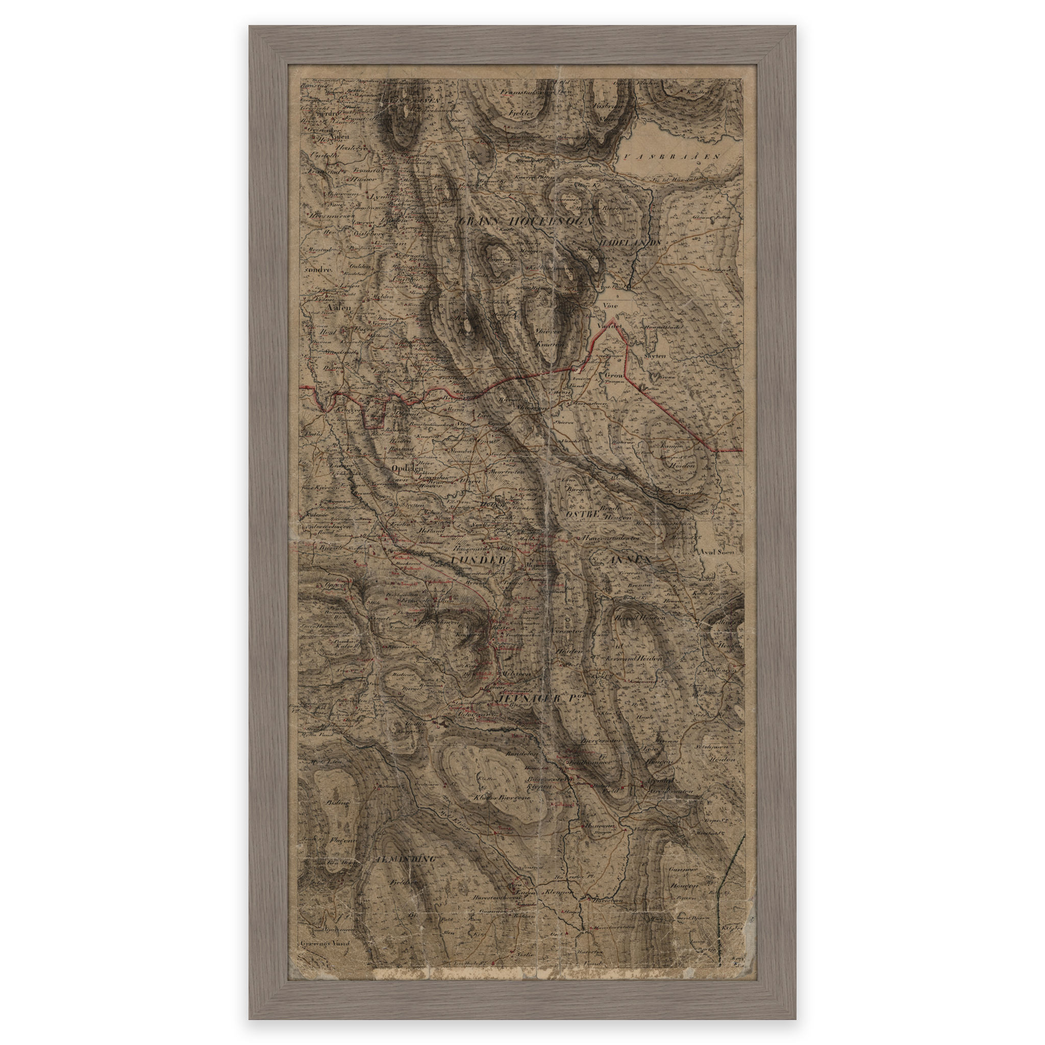
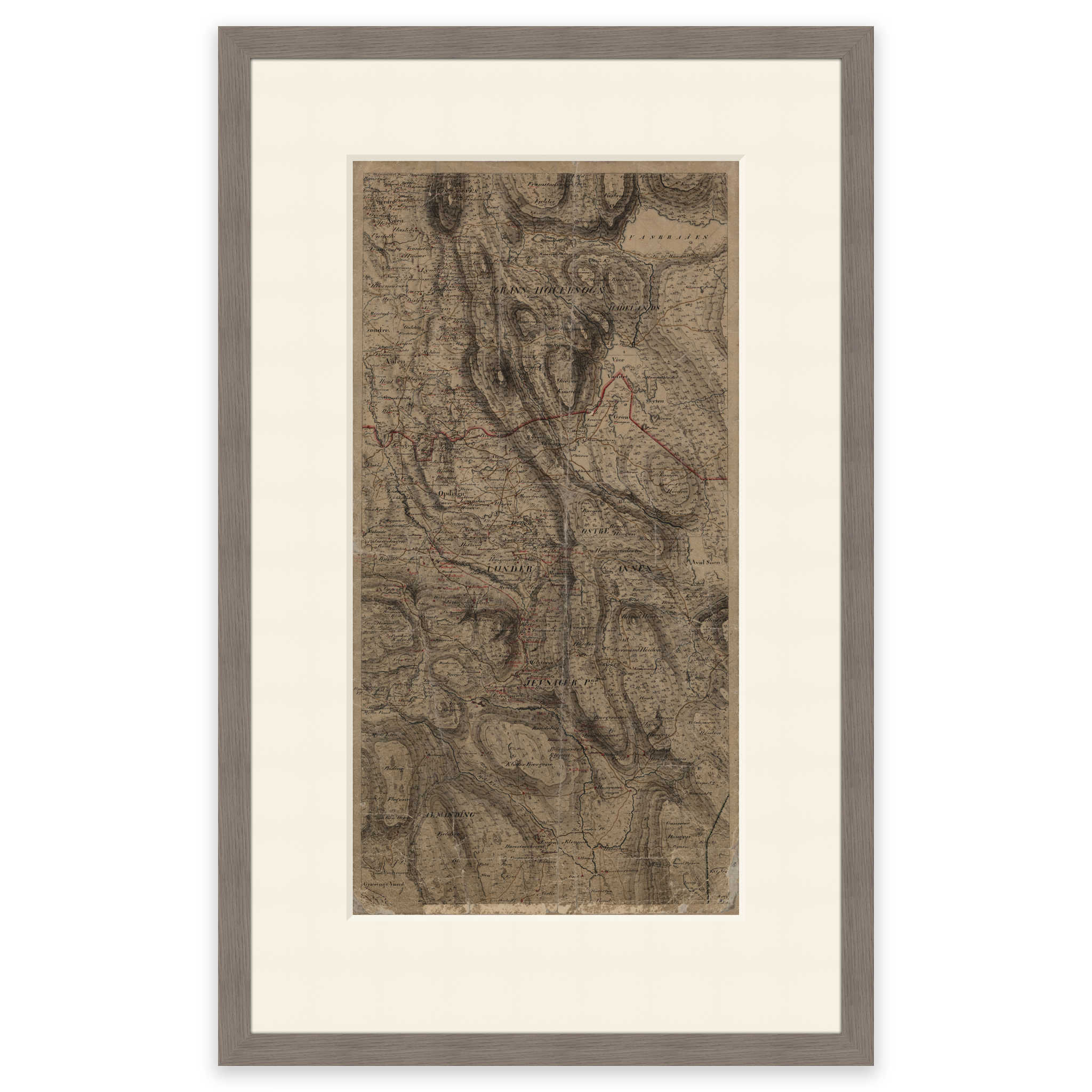
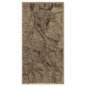
Hadeland 1827
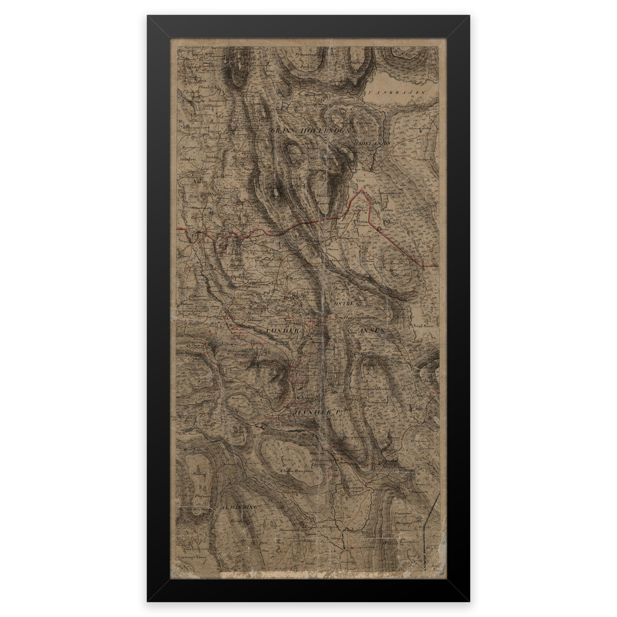
Hand-drawn map of parts of Hadeland, the area between Brandbu and Harestua. The map was hand-drawn in 1827 by C. The original size of the map is 24.1 x 46.9 cm. The size with frame and passe-partout is 40.1 x 63.9 cm. Would you like the map in a different size? Just get in touch – we’ll be happy to give you a quote for customization.