Description
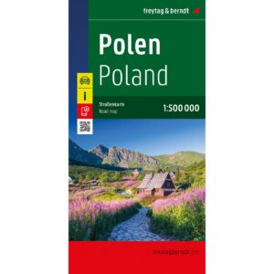
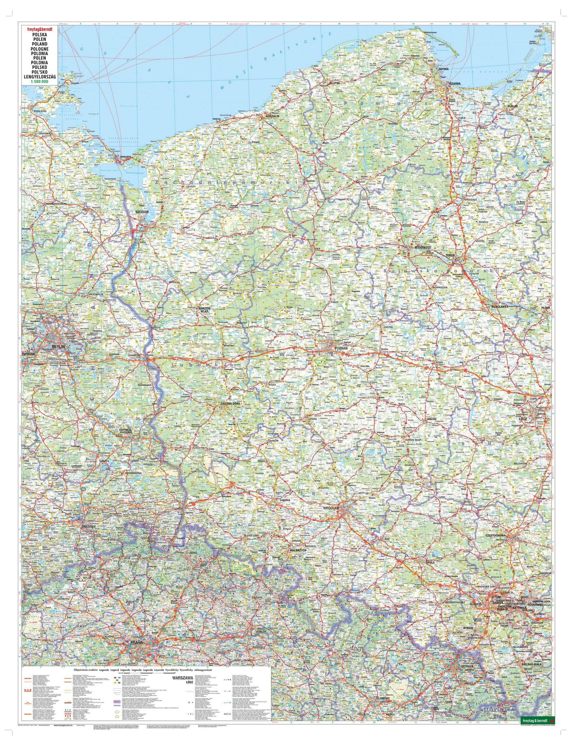
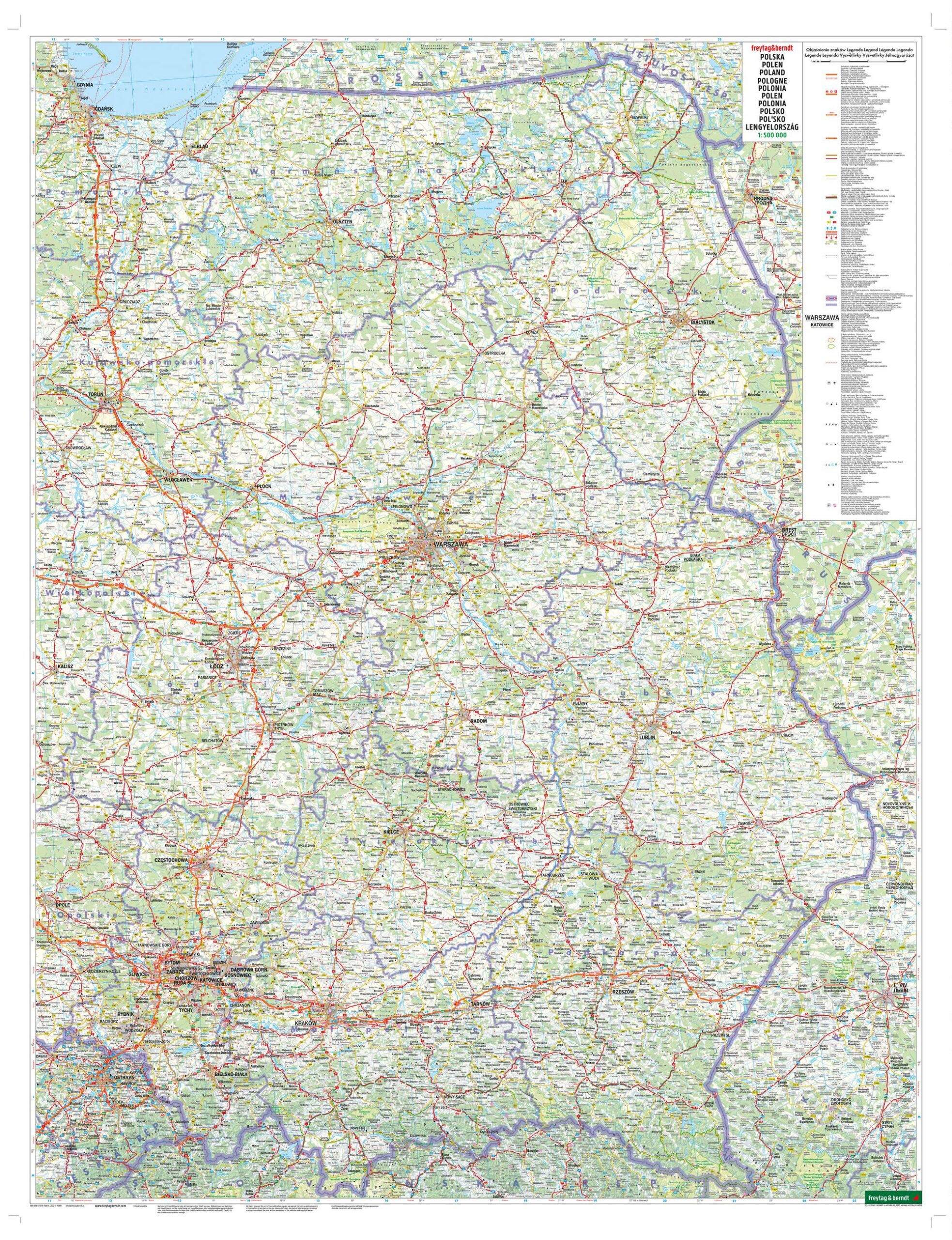
Covering the whole of Poland, this road map provides a clear and detailed representation of the country, including major roads, minor road links and rail networks. The map is well-suited for travel planning and provides a solid foundation for navigation, whether driving long distances or exploring more local areas.
The map image is clear and easy to read, with a good balance between level of detail and overview. Scenic routes are highlighted, making it easier to choose alternative routes for a more adventurous journey. In addition, tourist information and selected attractions, such as historical sites and cultural monuments, are marked on the map.
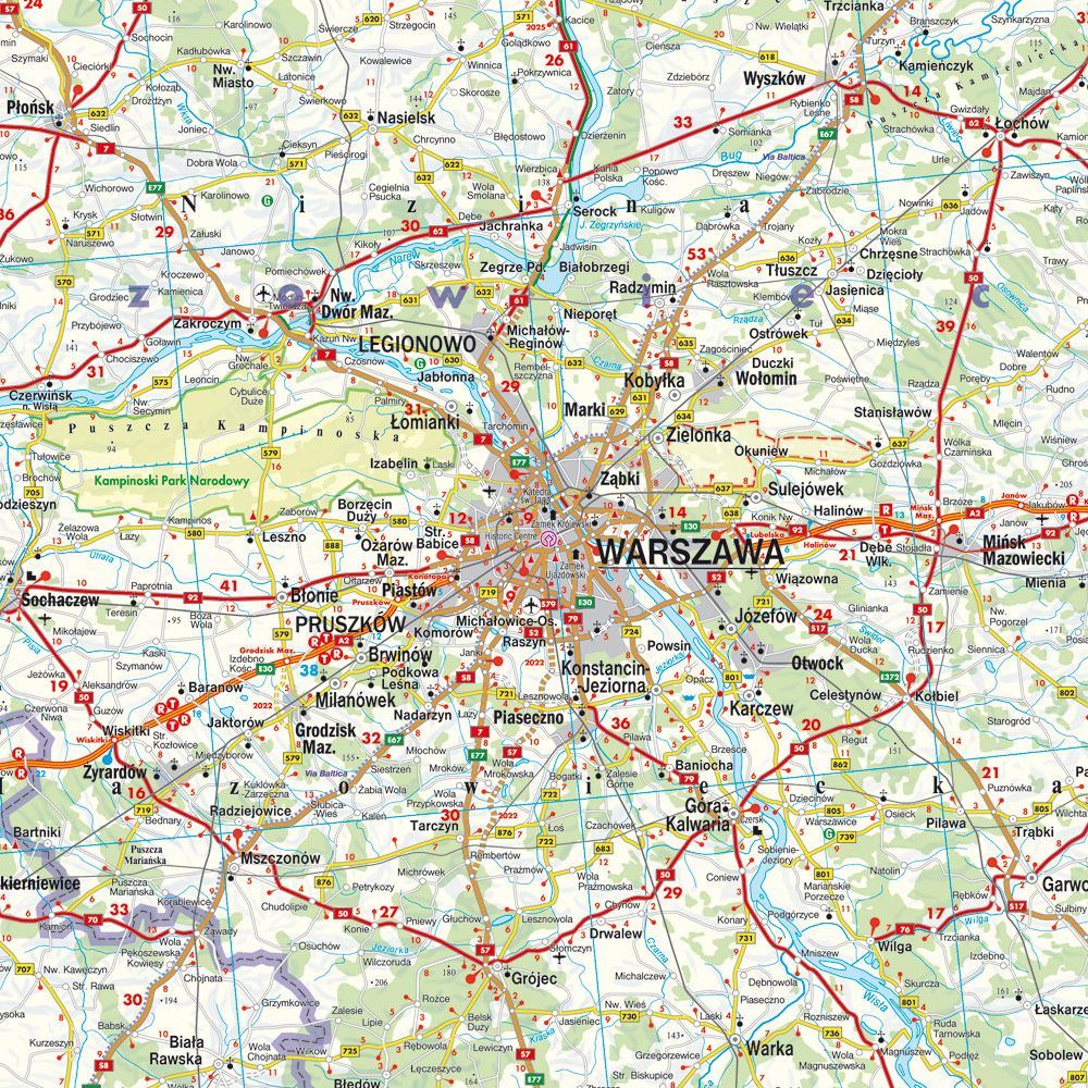
The map also includes practical information such as camping and motorhome sites, as well as a comprehensive location index that makes it easy to find destinations. A separate city map of Warsaw provides additional support for navigation in the capital, making the map useful for both overview planning and detailed orientation.
Release year: 2026.