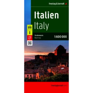
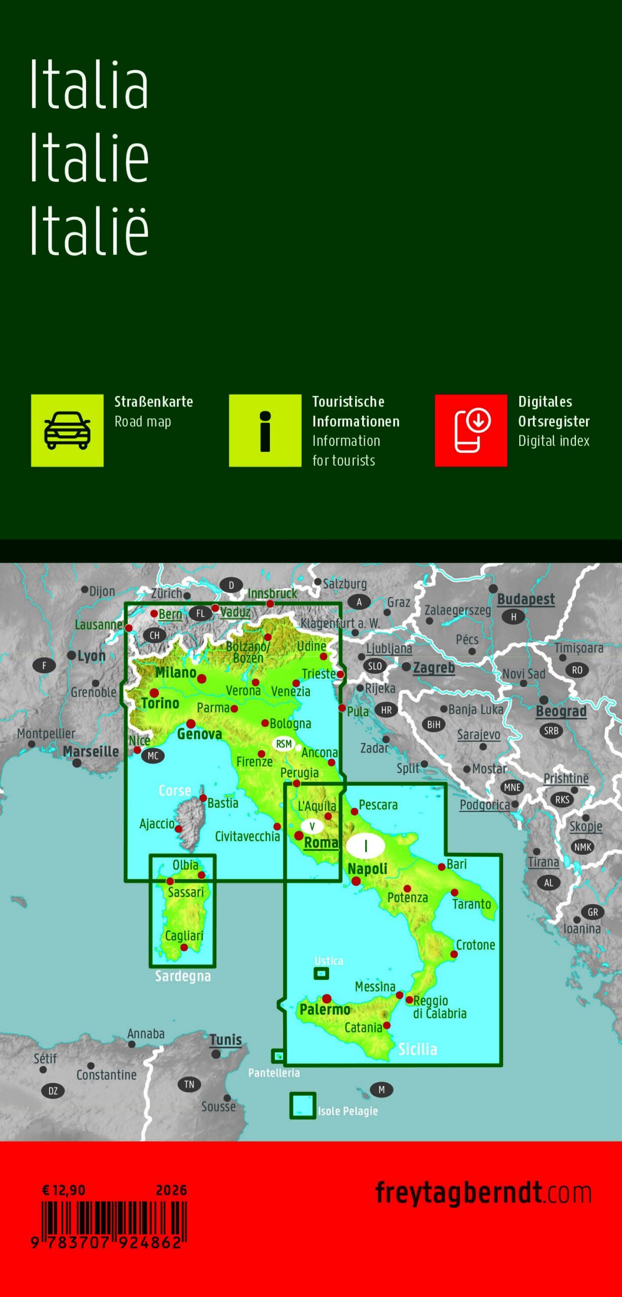

Description
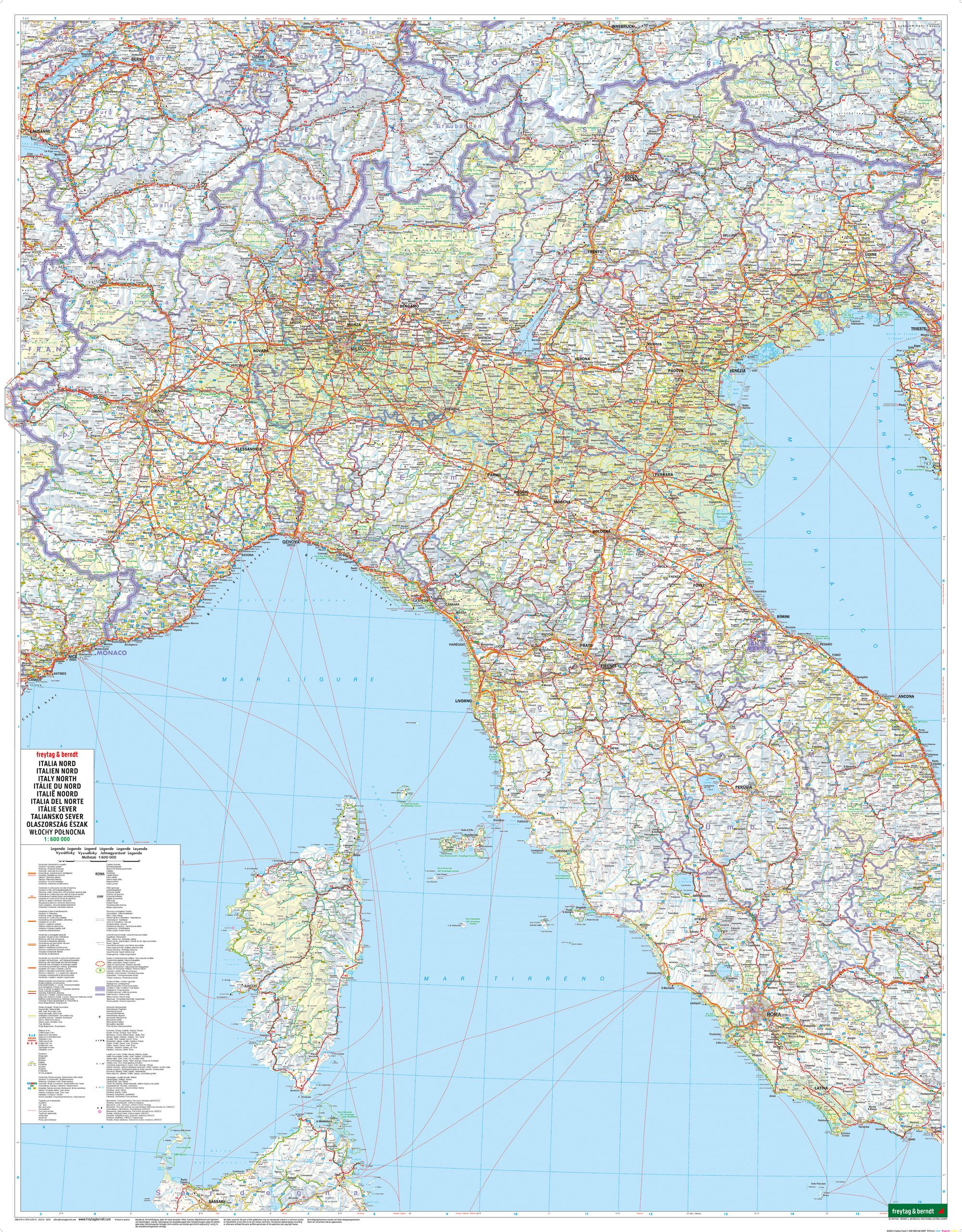
This road map covers the whole of Italy and provides a clear overview of the country, from the Alps in the north to the southern tip and islands in the south. The map is suitable for both planning and traveling, and provides a solid foundation for navigating through different regions and landscapes.
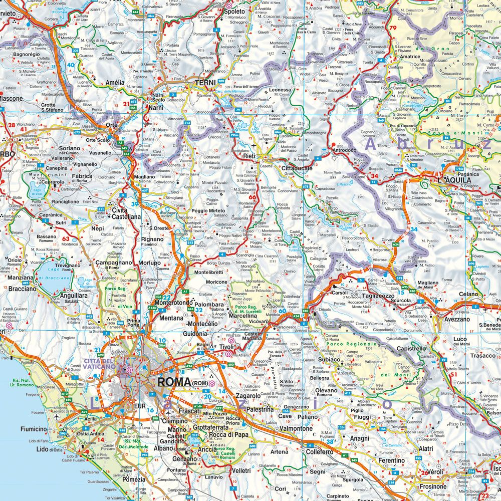
The map shows a detailed road network with highways, main roads and minor connections, making it easy to plan routes across the country. In addition, tourist information, campsites and selected destinations are marked, providing extra support along the way. The map also includes city maps of several major cities, making it easier to find your way around urban areas.
The clear cartography strikes a good balance between detail and overview, making the map suitable for both longer stages and more local exploration. With its broad coverage and practical information, the map serves as a useful tool for drivers, motorcyclists and campers who want to experience Italy on their own.
Release year: 2026.