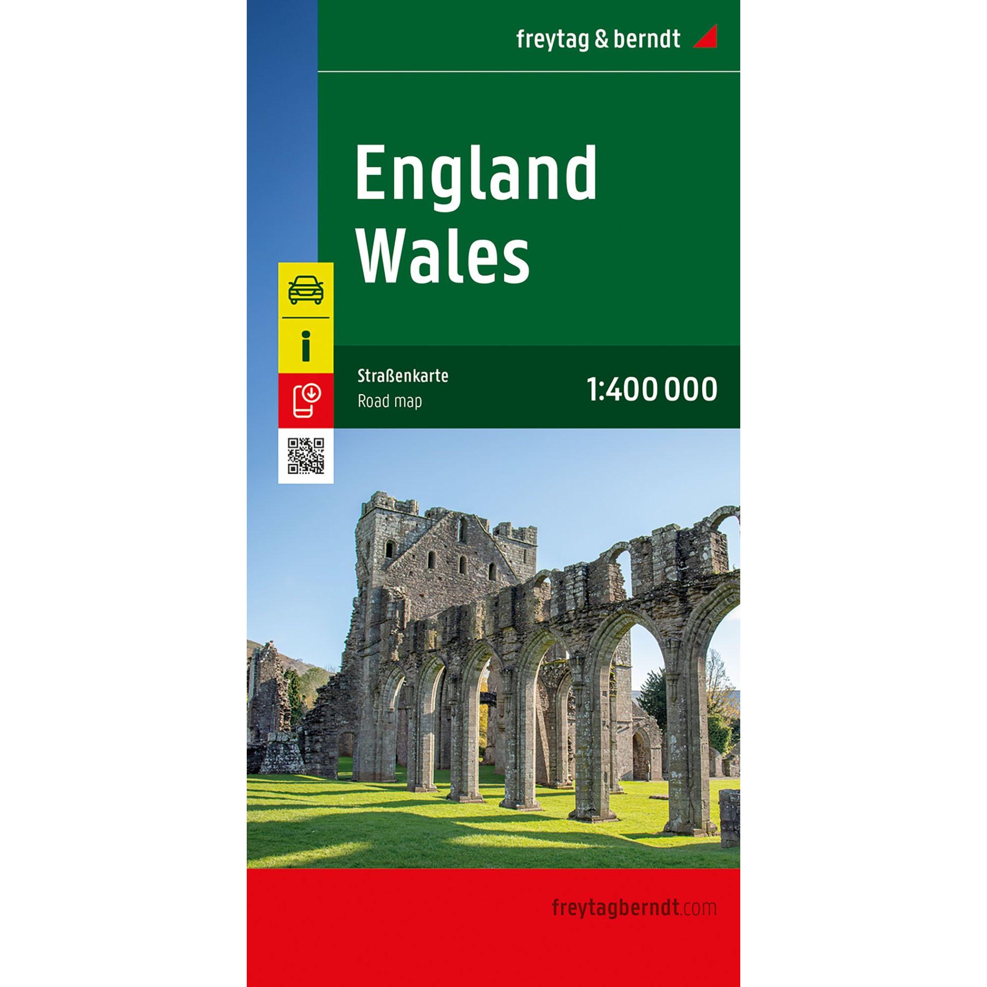
Description
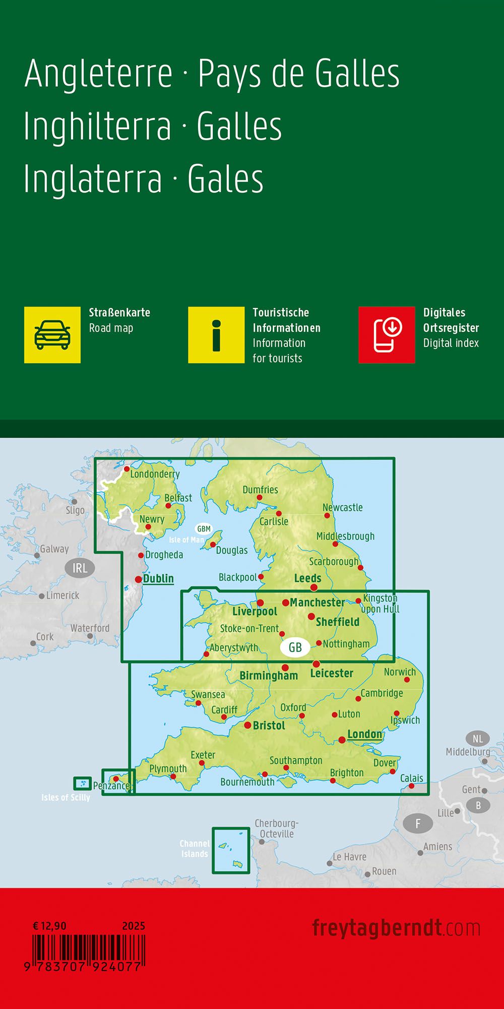
This road map covers England and Wales and provides a detailed and clear representation of the region’s road network and landscape. The map is well suited to both planning and undertaking journeys, and provides a solid foundation for navigation across the country.
The map depicts a dense network of highways, main roads and minor connections, making it possible to plan both efficient transportation stages and more scenic routes. Scenic roads are highlighted and a number of tourist destinations and sights are marked, making it easier to plan a varied journey. The map also includes information about campsites, which adds extra value for travelers with motorhomes or caravans.
The clear cartography strikes a good balance between detail and overview, making the map easy to use both before and during travel. A city map of London provides additional support for navigation in the metropolitan area, making the map useful in urban environments too.
Release year: 2025.