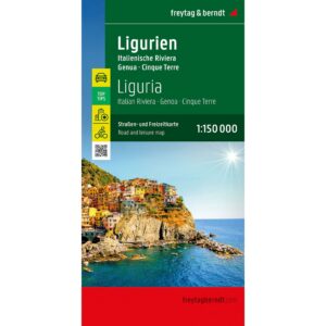
Description
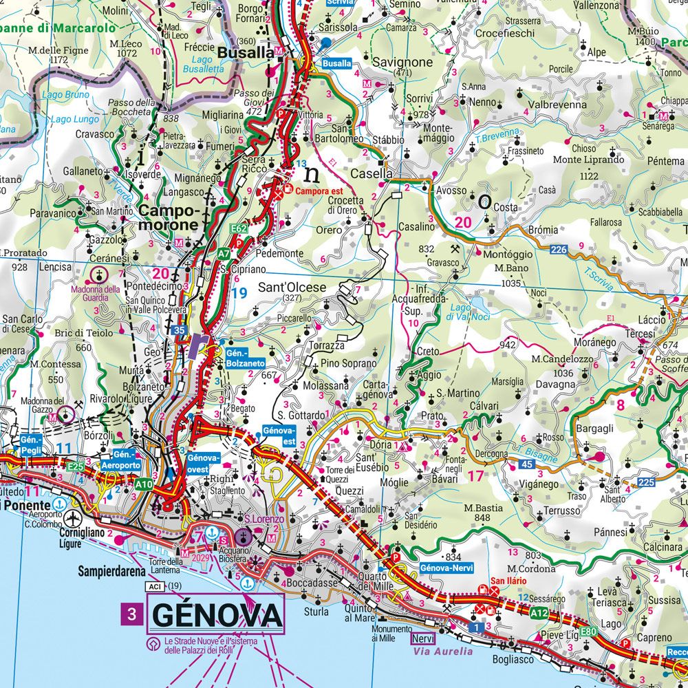
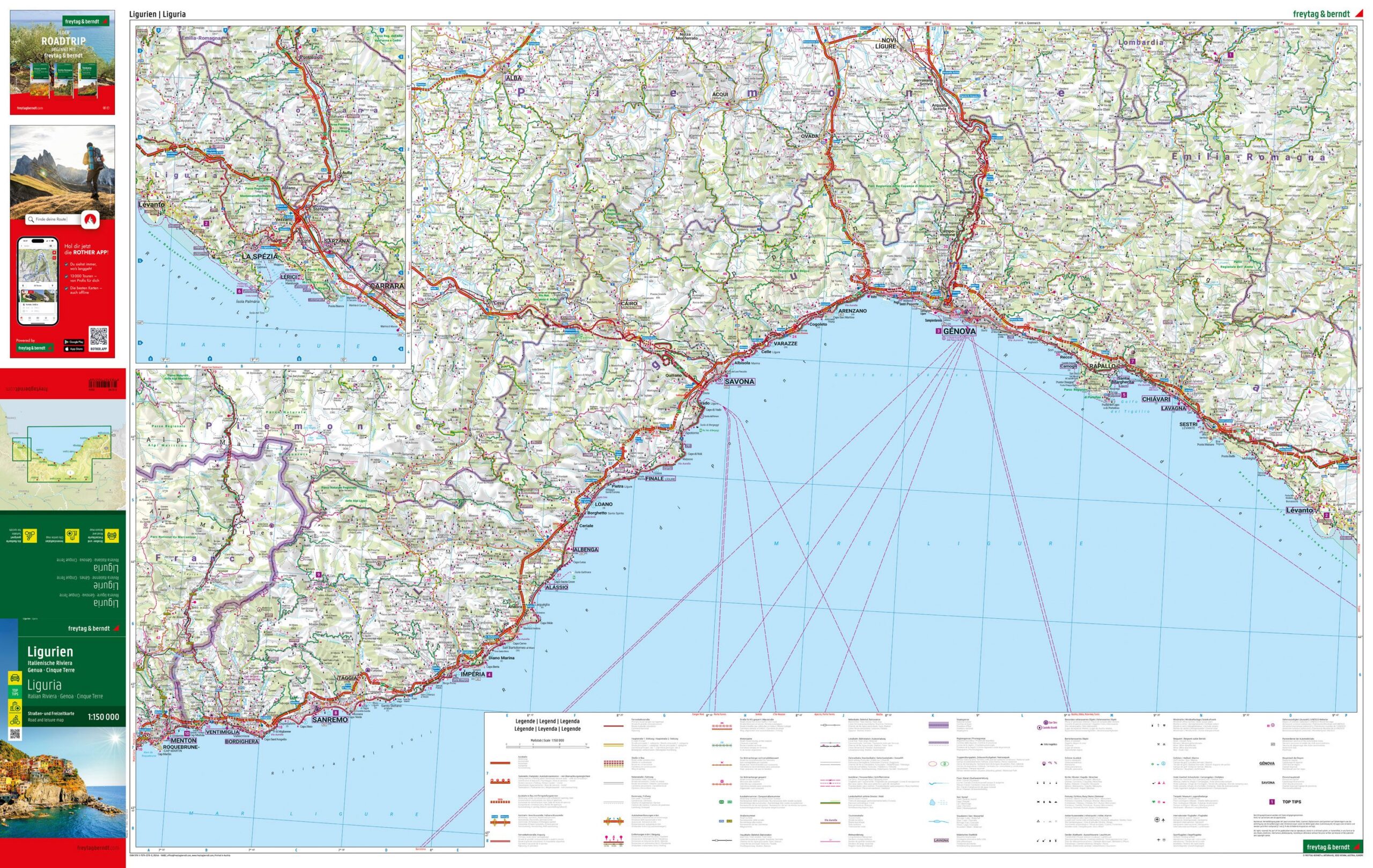
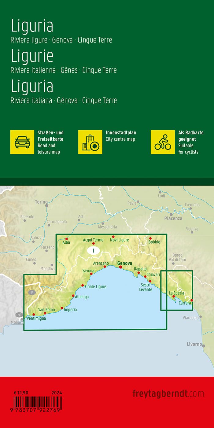
This road map covers Liguria in northern Italy, including the Italian Riviera with areas such as Genoa and Cinque Terre. The map provides a detailed and clear representation of the region’s road network and coastal landscapes, and is ideal for both planning and executing trips.
The map shows a fine-meshed network of main roads and smaller connections, making it possible to plan both efficient routes and more scenic drives along the coast and in the hilly hinterland. Information about road conditions, tourist destinations and sights is integrated into the map, making it easier to plan a varied journey. Campsites are also marked, providing extra flexibility for travelers.
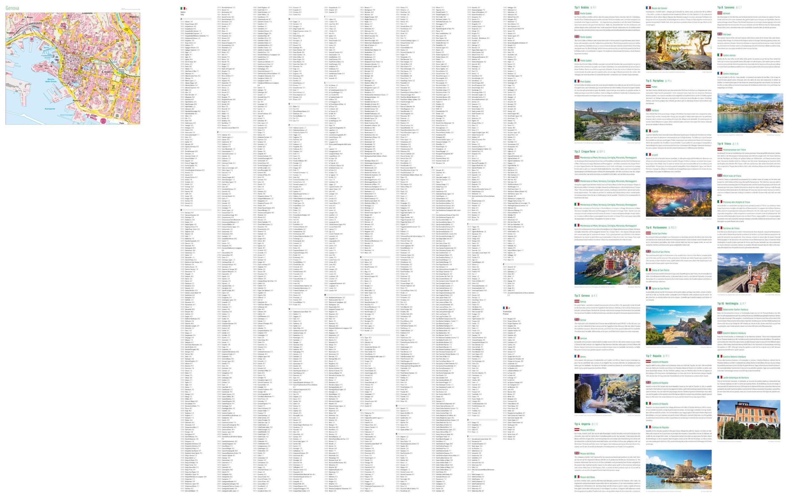
The map includes a city map of Genoa and an accompanying information booklet with selected recommendations for the region. The clear cartography provides a good balance between detail and overview, making the map suitable for both en route orientation and advance planning.
Release year: 2024.