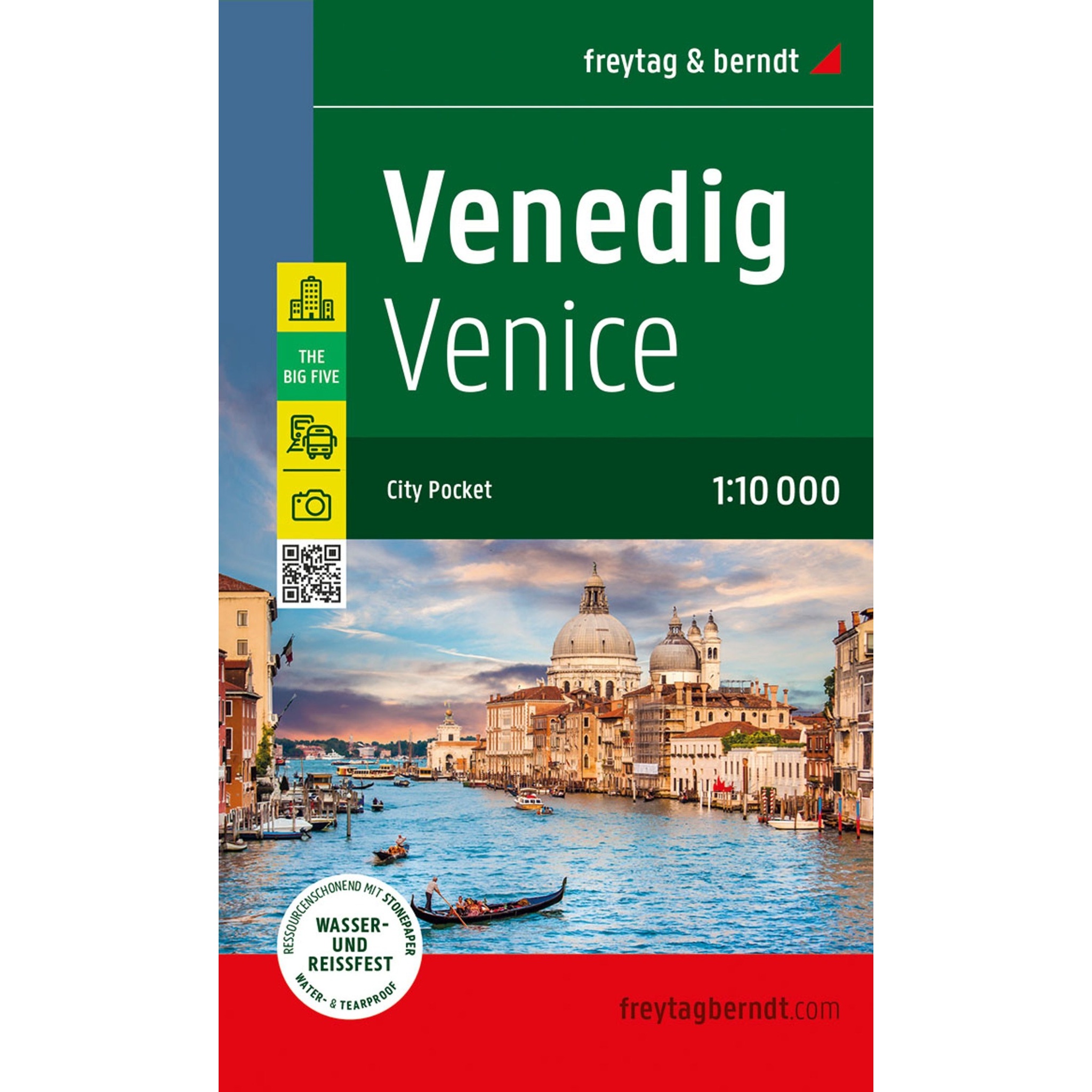
Description
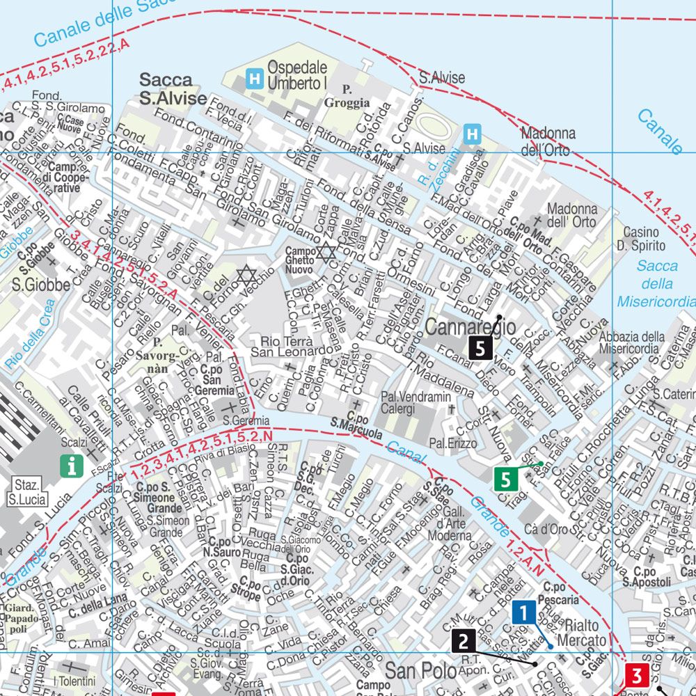
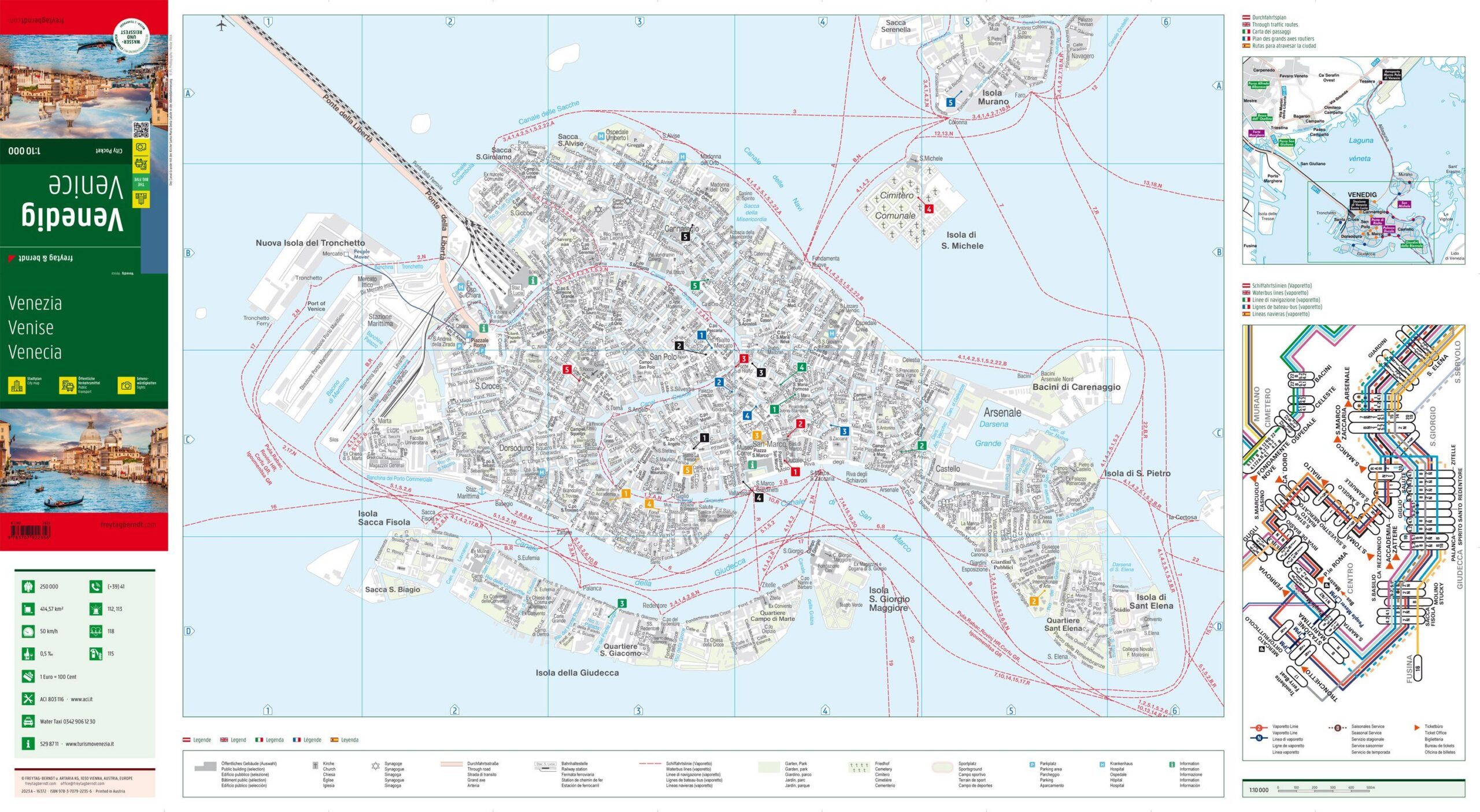
This detailed city map shows the center of Venice and provides a clear representation of the city’s canals, streets and central areas. The map has been developed in a compact format that makes it easy to carry around and is suitable for both planning and orientation during stays in the city.
The map depicts Venice’s unique structure of canals, bridges and pedestrian connections, making it easier to find your way between sights and important places. In addition, the map includes information on vaporetto lines, which are central to transportation in the city, as well as a street and place index that simplifies navigation.
The map is printed on durable, waterproof and tear-resistant material, making it suitable for outdoor use in varying weather conditions. The clear cartography provides good readability and makes it easier to orient yourself in a city with a different transportation system than most other big cities.
Release year: 2024.