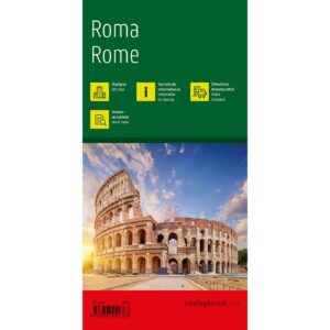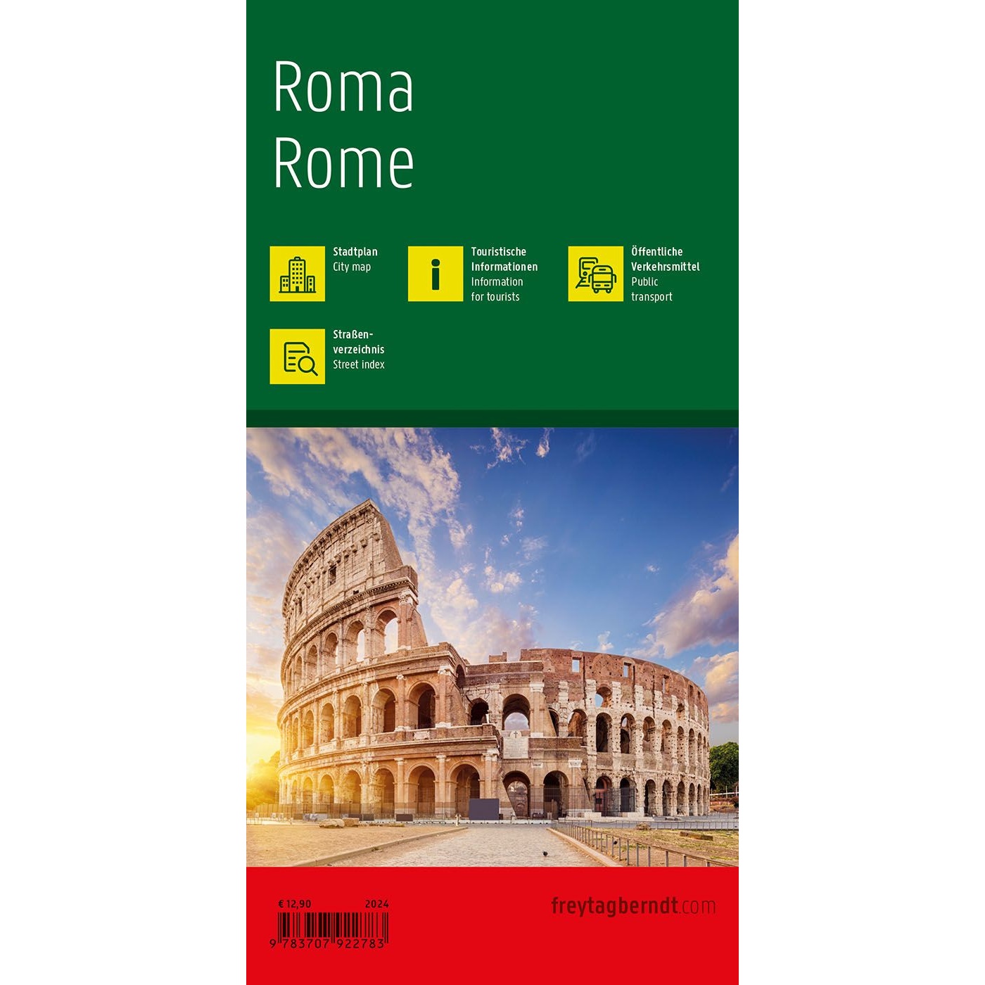
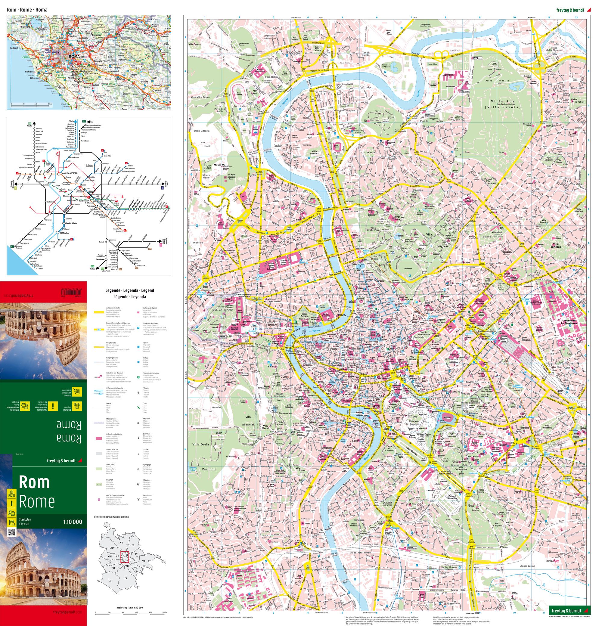
Description
This detailed city map covers Rome and provides a clear overview of the city’s streets, districts and central areas. Suitable for both planning and orientation, the map provides a solid foundation for exploring one of Europe’s most historic cities.
The map shows a dense and precise street network that makes it easy to find your way between sights, squares and important hubs. In addition, the map contains information about public transport and a street and place index that makes it easier to navigate the city efficiently. Tourist information is integrated into the map, providing additional support for planning visits to historical and cultural attractions.
The clear cartography provides a good balance between detail and overview, making the map suitable for both short stays and more in-depth exploration. The map serves both as a planning tool before the trip and as a practical aid along the way.
Release year: 2024.