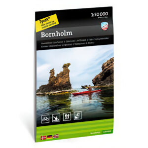
Description
Bornholm hiking map 1:50,000 is a detailed map for those who want to explore Bornholm’s varied nature on foot, by bike or from the water. The island is known for its beautiful coastline, dramatic cliffs, sandy beaches, small fishing villages and great opportunities for active nature experiences.
The map shows hiking trails, cycling routes, roads, nature areas, sights and other useful information for planning experiences on Bornholm. It’s perfect whether you’re going on a walking holiday, cycling along the coast, paddling around parts of the island or discovering Bornholm’s many natural and cultural attractions.
With a scale of 1:50,000, you get a detailed and clear map that covers the entire island. It’s easy to use both for planning at home and as a travel companion.
Calazos hiking maps are designed for active use and printed on durable and water-resistant Tyvek material. The map withstands rain, moisture and repeated folding far better than ordinary paper maps.
The map is released in 2024.