
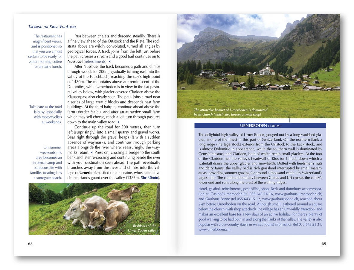

Description
The landscape and the journey
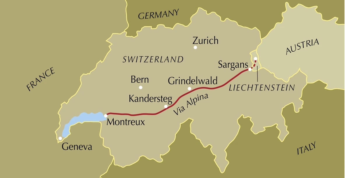
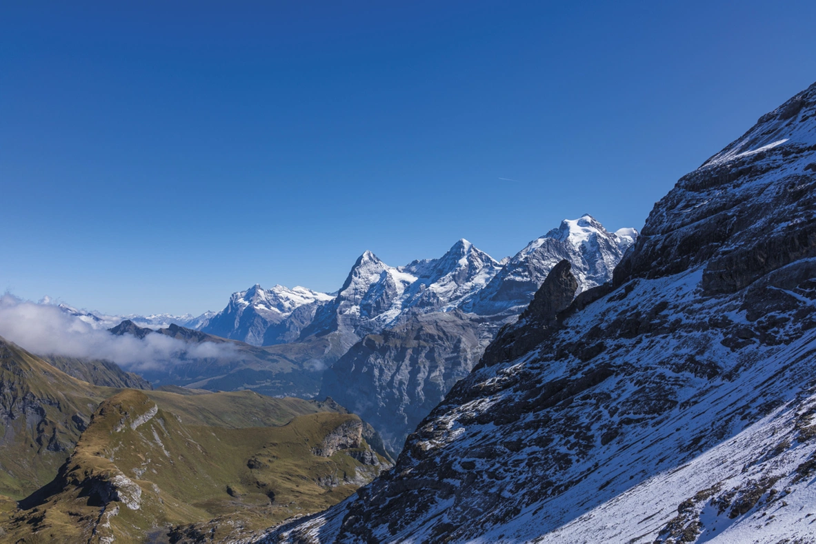
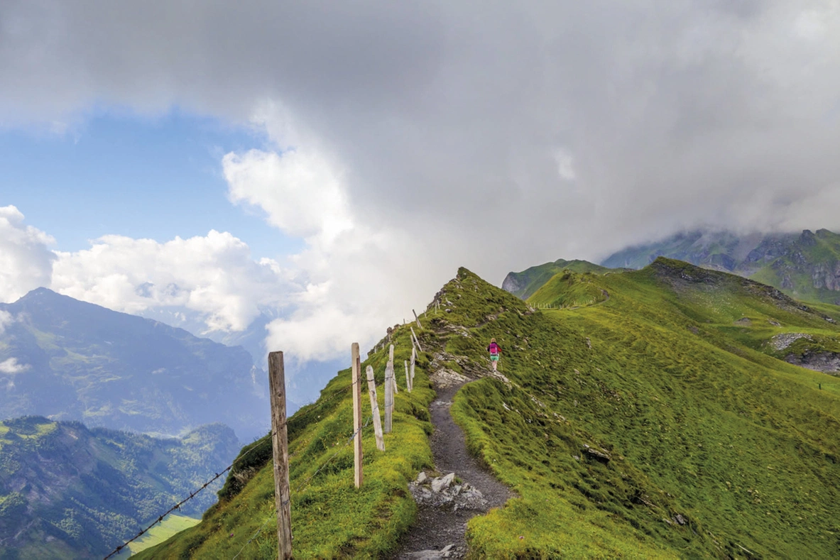
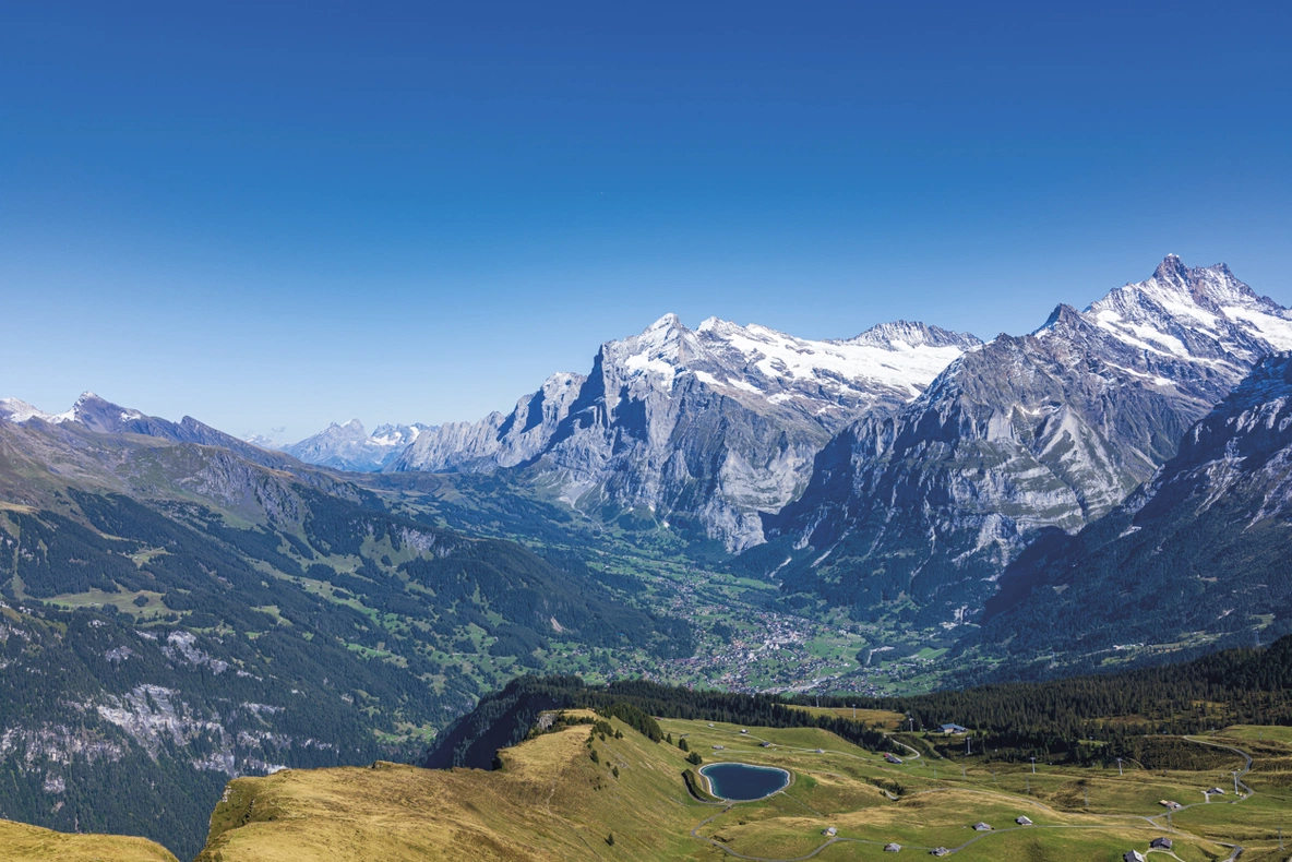
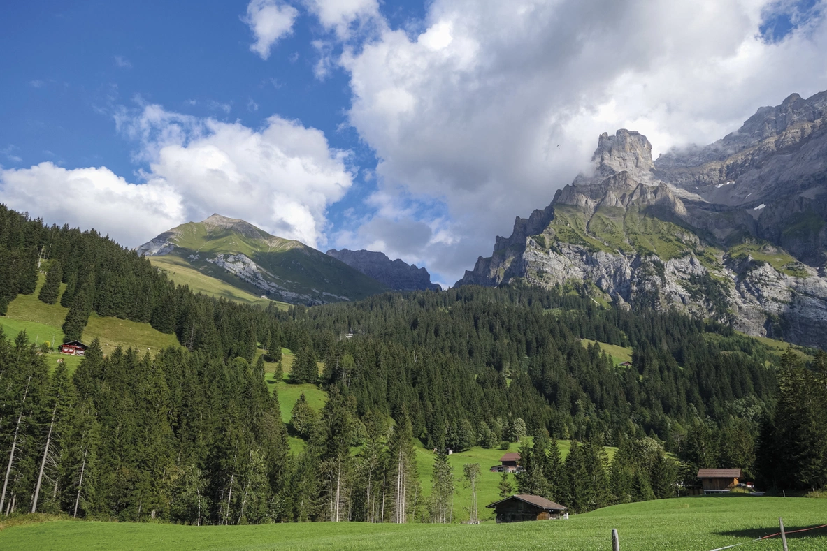
Kev Reynolds and Jonathan Williams follow Switzerland’s Via Alpina, also called the Alpine Pass Route, east to west towards Lake Geneva. Valleys and passes connect distinct mountain regions into a continuous journey.
Routes and itinerary options
The approximately 400-kilometre route has nineteen stages plus an optional Liechtenstein prologue. Engelberg, Meiringen, Grindelwald, Lauterbrunnen and Kandersteg feature; Hohtürli reaches 2778 metres. Alternatives and shorter itineraries help adapt a roughly three-week journey.
Maps and practical planning
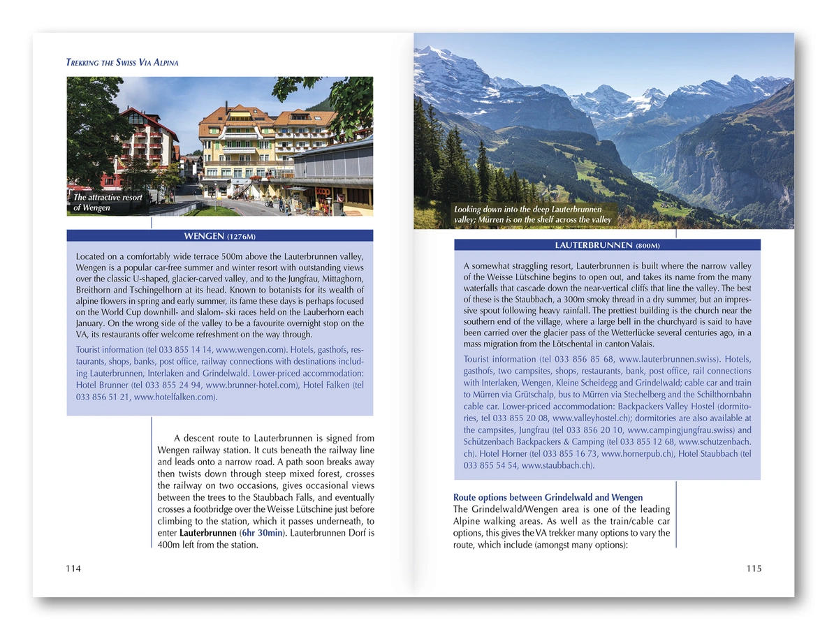
1:100,000 maps, profiles, stage descriptions and facilities summaries accompany accommodation, food, transport, equipment, languages and access information. GPX tracks are available from Cicerone. Use the route information to compare stages, plan your stops and check practical arrangements before departure.
Choosing the right trip
Repeated passes and substantial ascent demand fitness and Alpine experience; some sections are exposed or technically harder. July–September is usual, with lingering snow possible earlier. Choose an itinerary that fits your experience and available time, allowing flexibility for weather and local conditions.
About this edition
English-language paperback by Kev Reynolds and Jonathan Williams. Fourth edition, published in July 2023. 216 pages. ISBN 9781786311603.