
Description
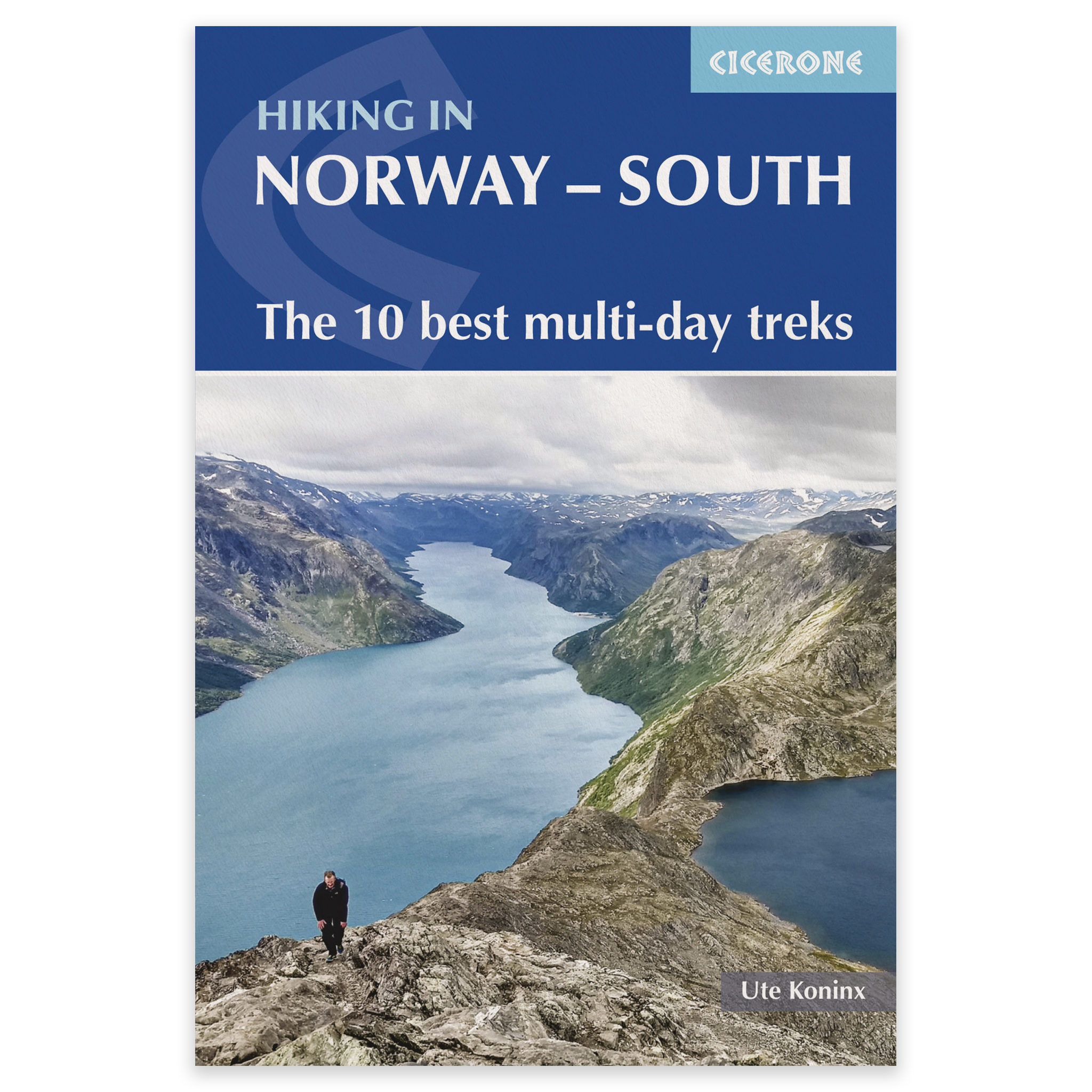
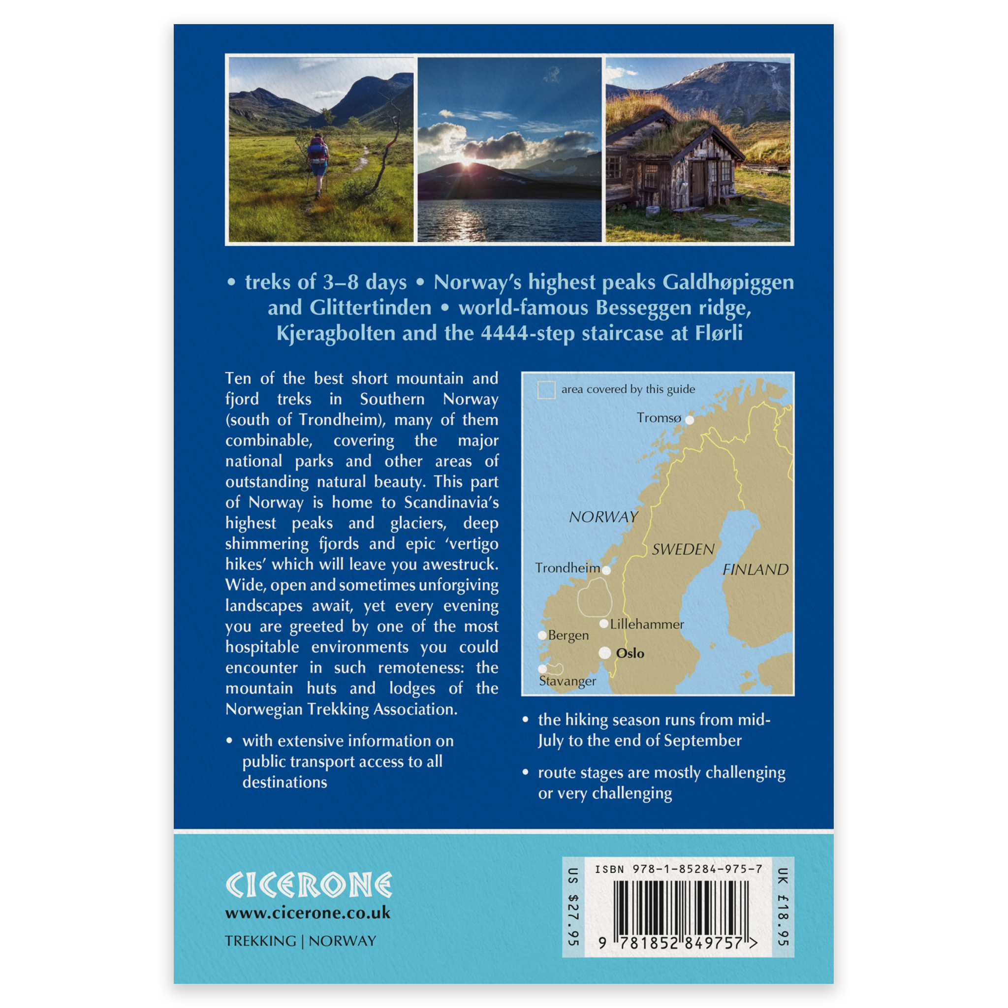
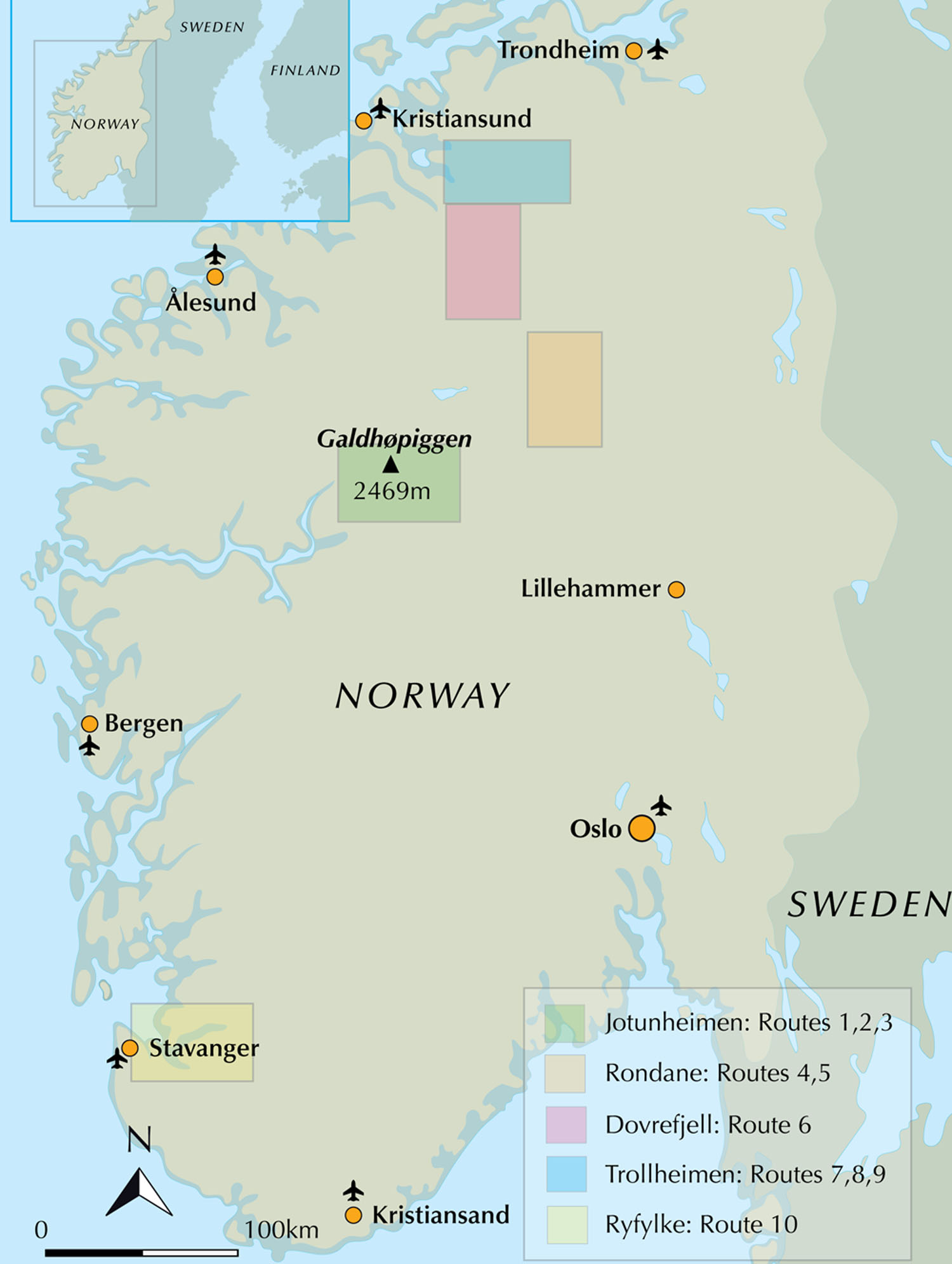
Hiking in Norway – South is an English-language Cicerone guide to 10 of the finest multi-day hikes in southern Norway. Ranging from 3 to 8 days, the treks explore some of Norway’s best-known mountain and fjord regions, including Jotunheimen, Rondane, Dovrefjell, Trollheimen and Ryfylke.
The 10 routes range from 41 to 152km and can be completed individually or combined to create longer journeys. Each trek is divided into manageable daily stages, with detailed route descriptions, elevation profiles and practical information about accommodation, transport and trip planning.
Ten multi-day hikes in southern Norway
The guide explores high mountains, deep valleys, national parks and dramatic fjord landscapes south of Trondheim. It includes both celebrated Norwegian hiking classics and quieter, lesser-known routes.
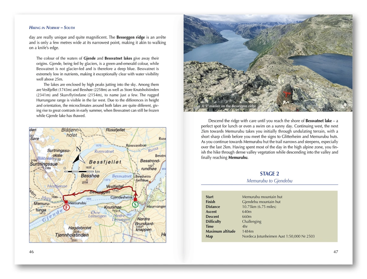
Besseggen and the high mountains of Jotunheimen
Galdhøpiggen – Norway’s highest mountain at 2469m
Glittertinden and some of Norway’s highest mountain terrain
The open mountain landscapes of Rondane and Dovrefjell
The varied mountain scenery of Trollheimen
Kjeragbolten and the fjord landscapes of Ryfylke
The 4444 steps of the spectacular Flørli staircase
Several of the routes can be adapted using alternative stages or linked together to form longer expeditions.
Maps, GPX files and practical information
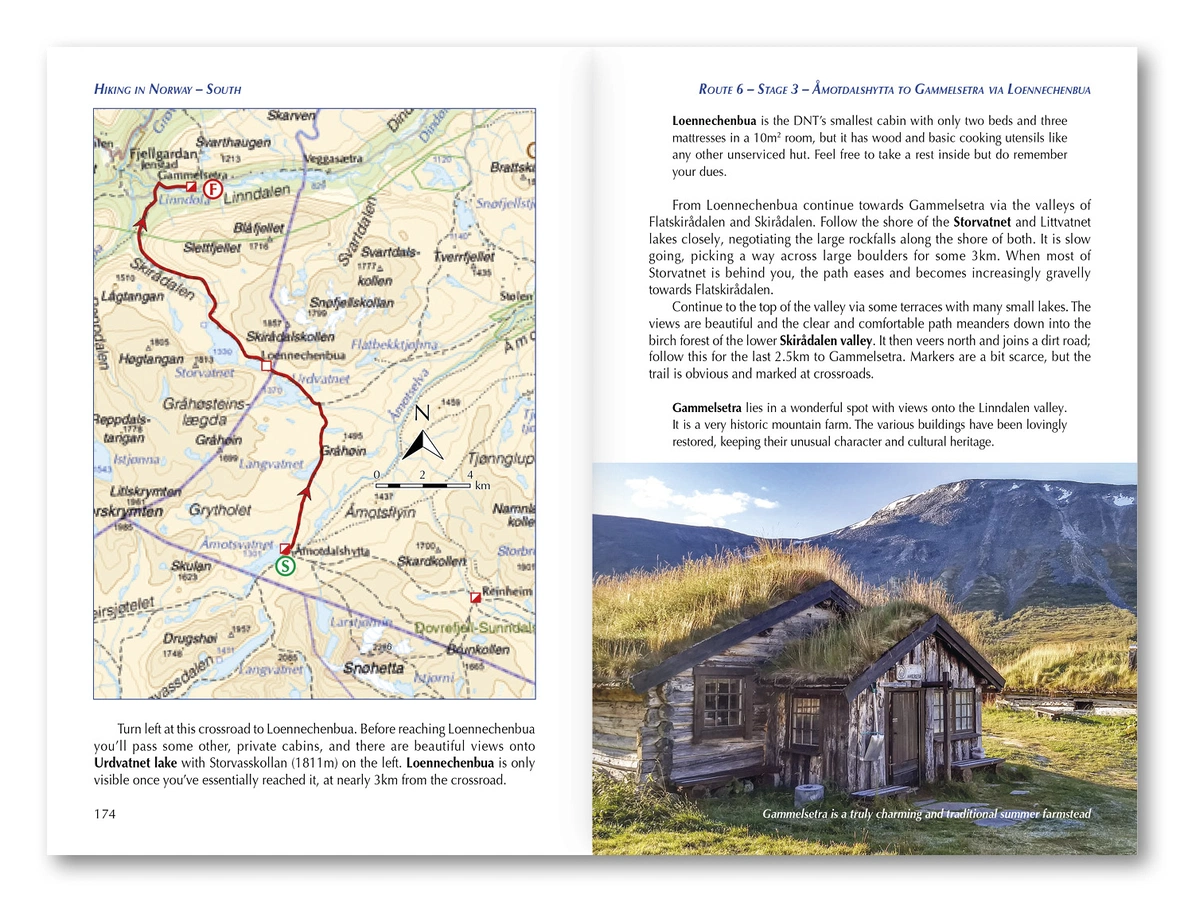
The guide includes 1:200,000 mapping from the Norwegian Mapping Authority, stage-by-stage elevation profiles and access to downloadable GPX files. It also provides advice on public transport, equipment, safety, mountain weather and planning a trek in Norway.
You will also find useful information about Norwegian Trekking Association huts and other accommodation, booking overnight stays, wild camping and what to expect from hut-to-hut hiking in the Norwegian mountains.
Who is this guide suitable for?
Most routes follow marked trails, but the terrain can be rocky, steep and exposed. Some treks include scrambling and sections that require a good head for heights. The guide is therefore best suited to competent mountain hikers with good stamina, navigation skills and experience of changeable mountain weather.
The recommended hiking season is generally from mid-July to late September, depending on snow conditions, weather and mountain hut opening dates.
Product details
Full title: Hiking in Norway – South: The 10 Best Multi-day Treks
Area: Southern Norway, south of Trondheim
Regions covered: Jotunheimen, Rondane, Dovrefjell, Trollheimen and Ryfylke
Number of treks: 10 multi-day routes with variants
Duration: 3–8 days per trek
Distance: 41–152km per trek
Mapping: Norwegian Mapping Authority, 1:200,000
Additional content: Elevation profiles and downloadable GPX files
Publisher: Cicerone
Author: Ute Koninx
Edition: Second edition, 2024
Pages: 296
Language: English
ISBN: 9781852849757