

Description
The landscape and the journey
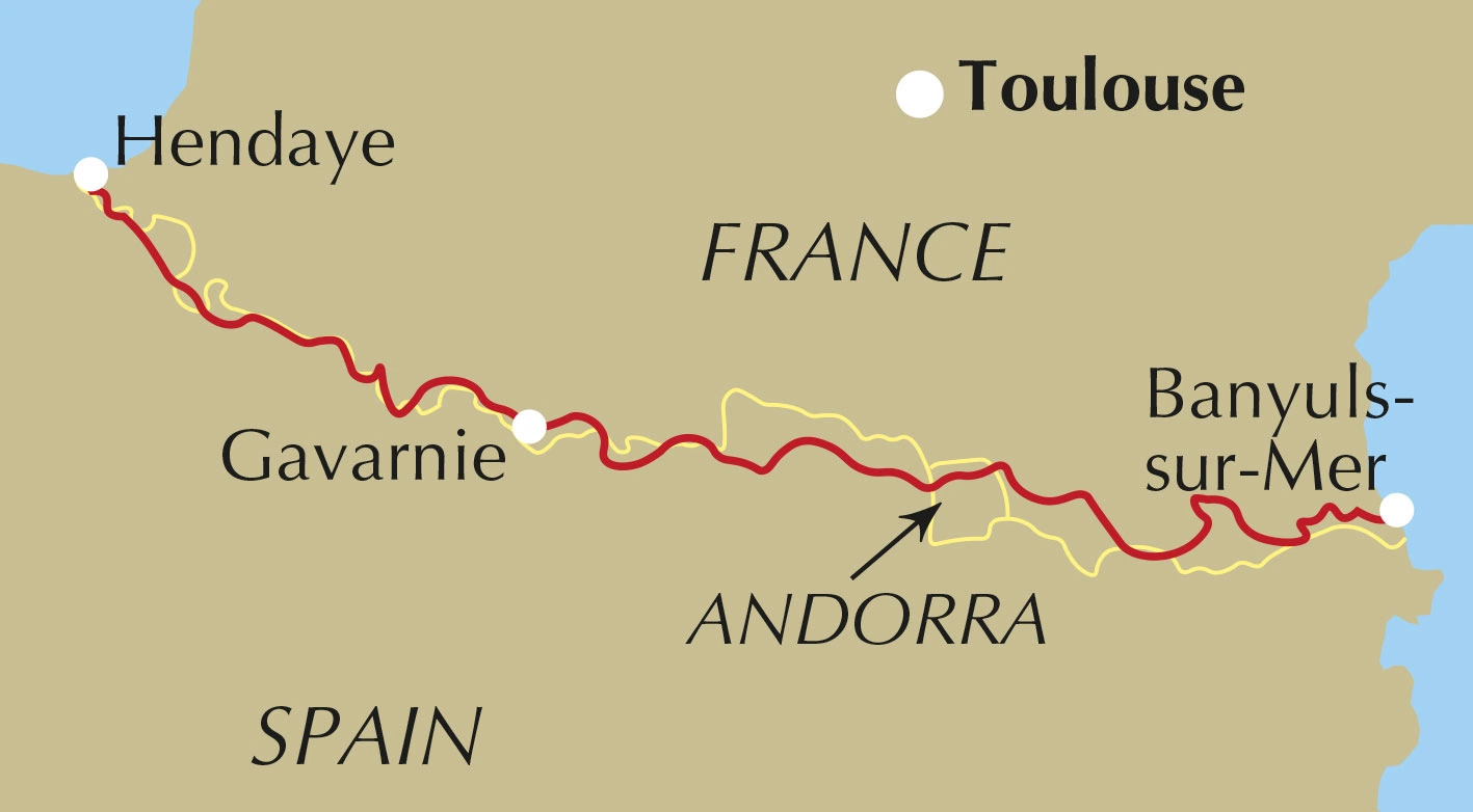
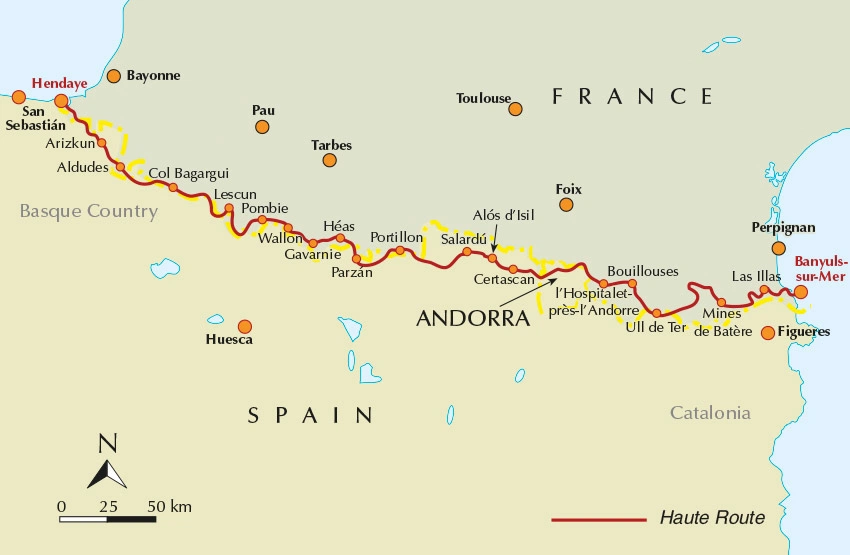
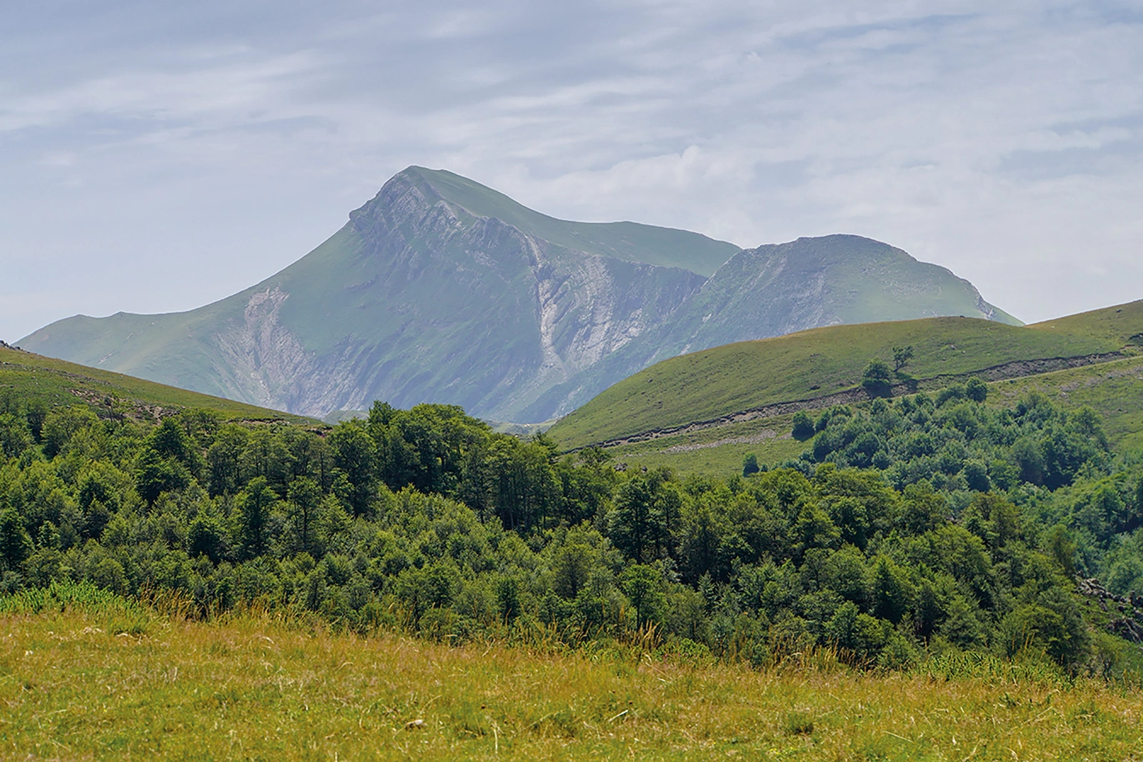
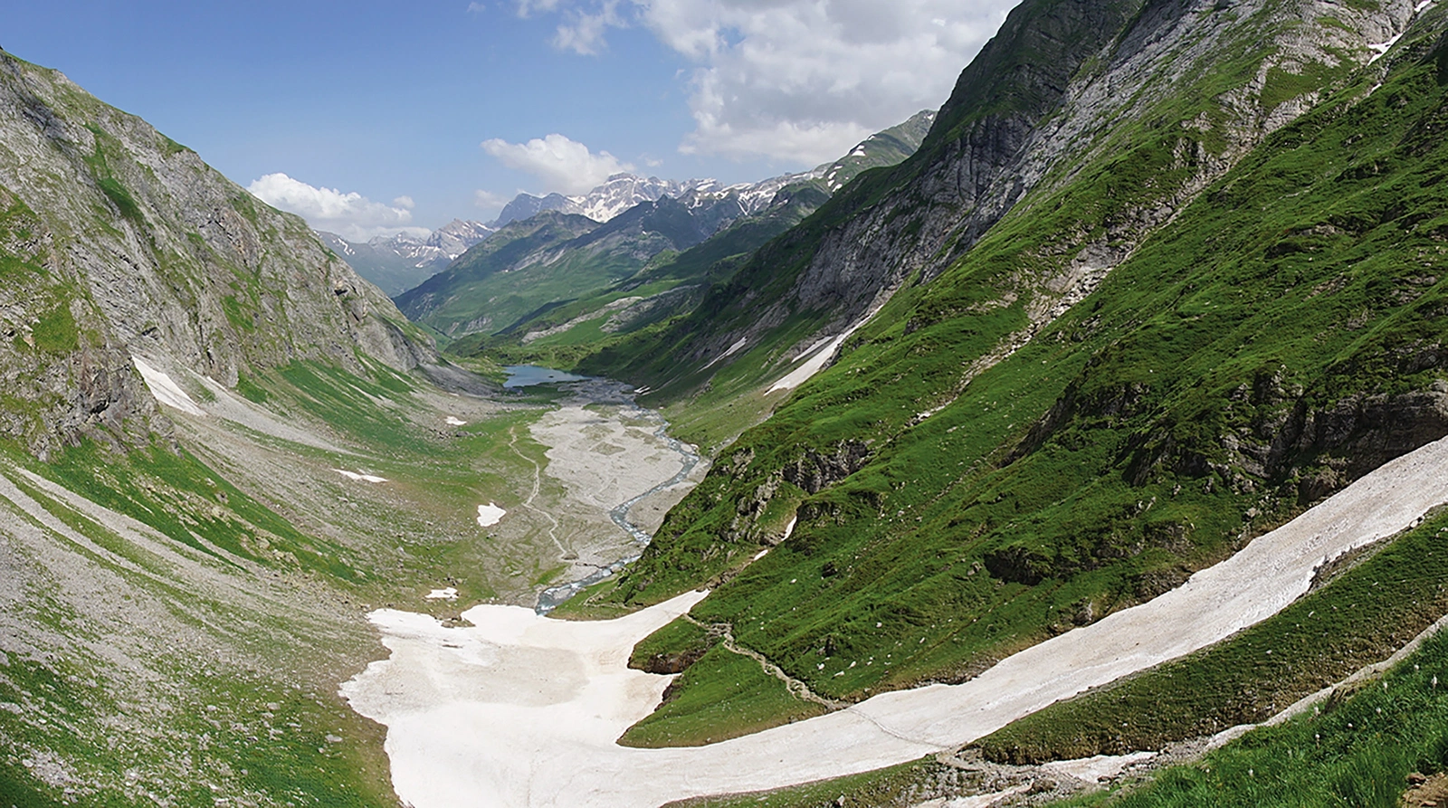
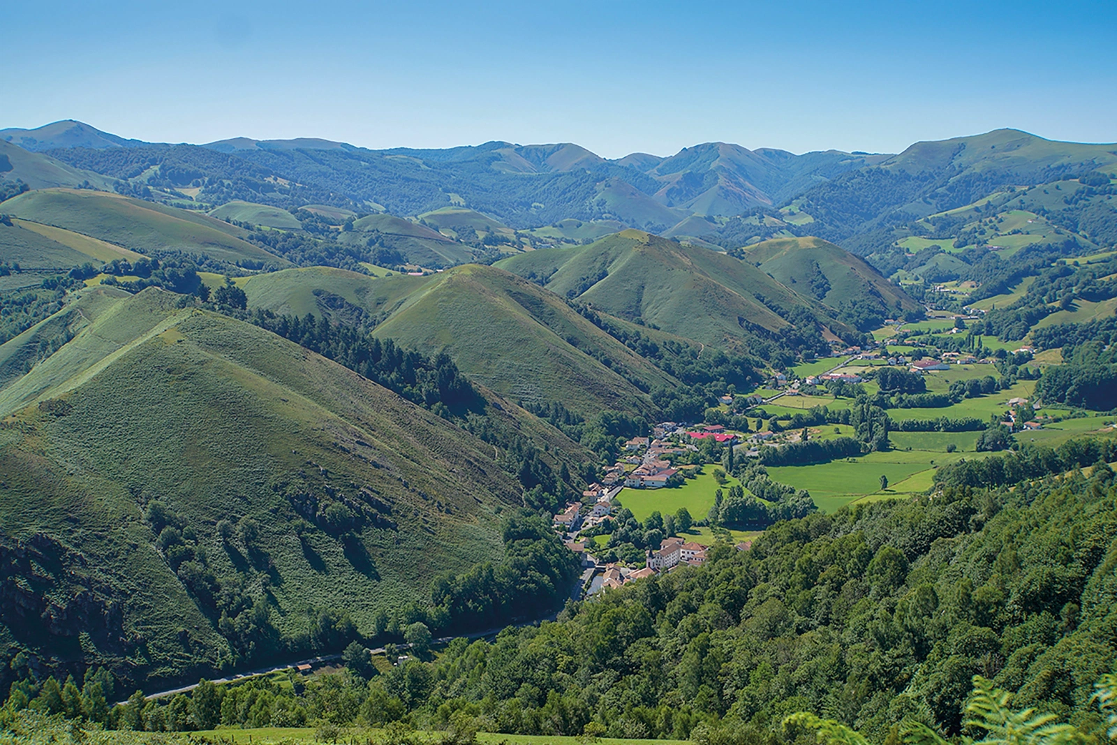
Tom Martens follows the Haute Randonnée Pyrénéenne through high border mountains between France and Spain. Passes, cirques, lakes and major elevation changes distinguish the HRP from more consistently waymarked routes across the Pyrenees.
Routes and itinerary options
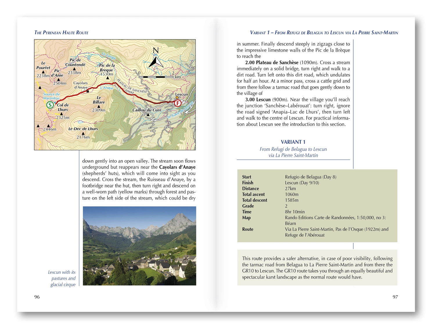
The approximately 750 kilometres from the Atlantic to the Mediterranean are divided into 44 stages. Optional ascents include Vignemale, Le Taillon and Pico de Aneto, each needing separate assessment of skills, time and conditions. Select the complete traverse or a shorter mountain section.
Maps and practical planning
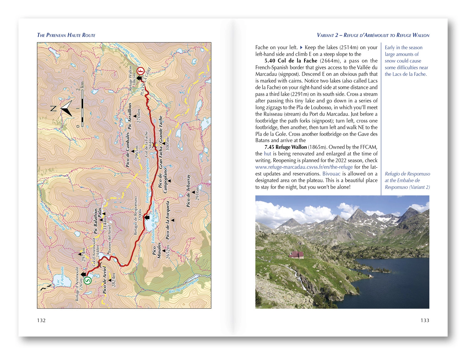
1:100,000 maps, route descriptions and stage and facilities tables cover unstaffed huts, campsites, gîtes and resupply points. Cicerone GPX files help support logistics in remote terrain. Use the route information to compare stages, plan your stops and check practical arrangements before departure.
Choosing the right trip
Much is unmarked, with demanding high ground and sustained ascent and descent. Experienced trekkers need strong navigation and judgment of terrain, snow and weather. Choose an itinerary that fits your experience and available time, allowing flexibility for weather and local conditions.
About this edition
English-language guidebook by Tom Martens. Third edition published in 2019, with subsequent reprints. 344 pages. ISBN 9781852849818.