

Description
The landscape and the journey
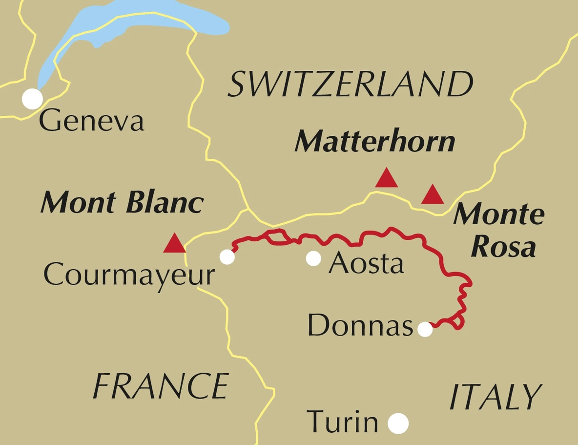
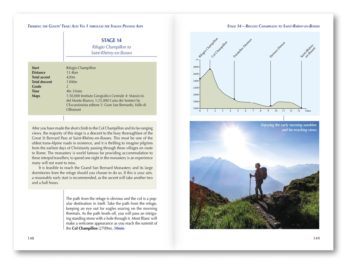
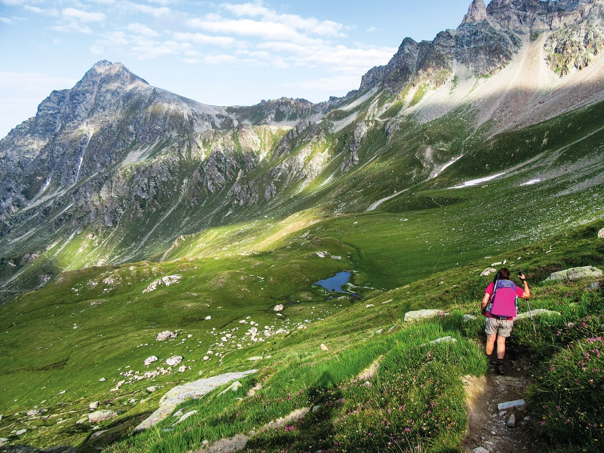
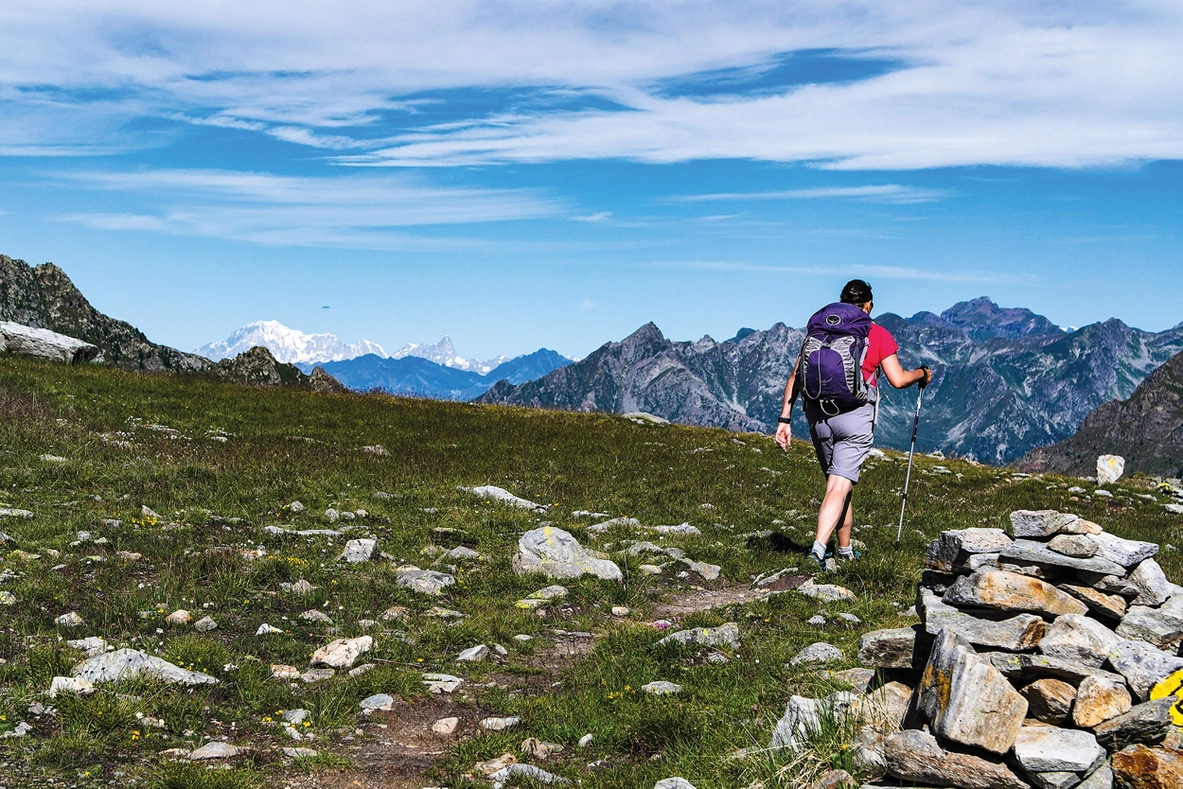
Andy Hodges follows the northern Aosta Valley beneath Monte Rosa, the Matterhorn, Grand Combin and Mont Blanc. This is the Aosta Valley’s Alta Via 1 in western Italy, with pass crossings and valley visits shaping the journey.
Routes and itinerary options
The 180 kilometres are divided into 16 stages of approximately 4–17 kilometres. Stages can be combined or divided into two week-long sections with access at Valtournenche. Alternatives include a visit to the Grand St Bernard monastery; the route can link with Aosta’s Alta Via 2.
Maps and practical planning
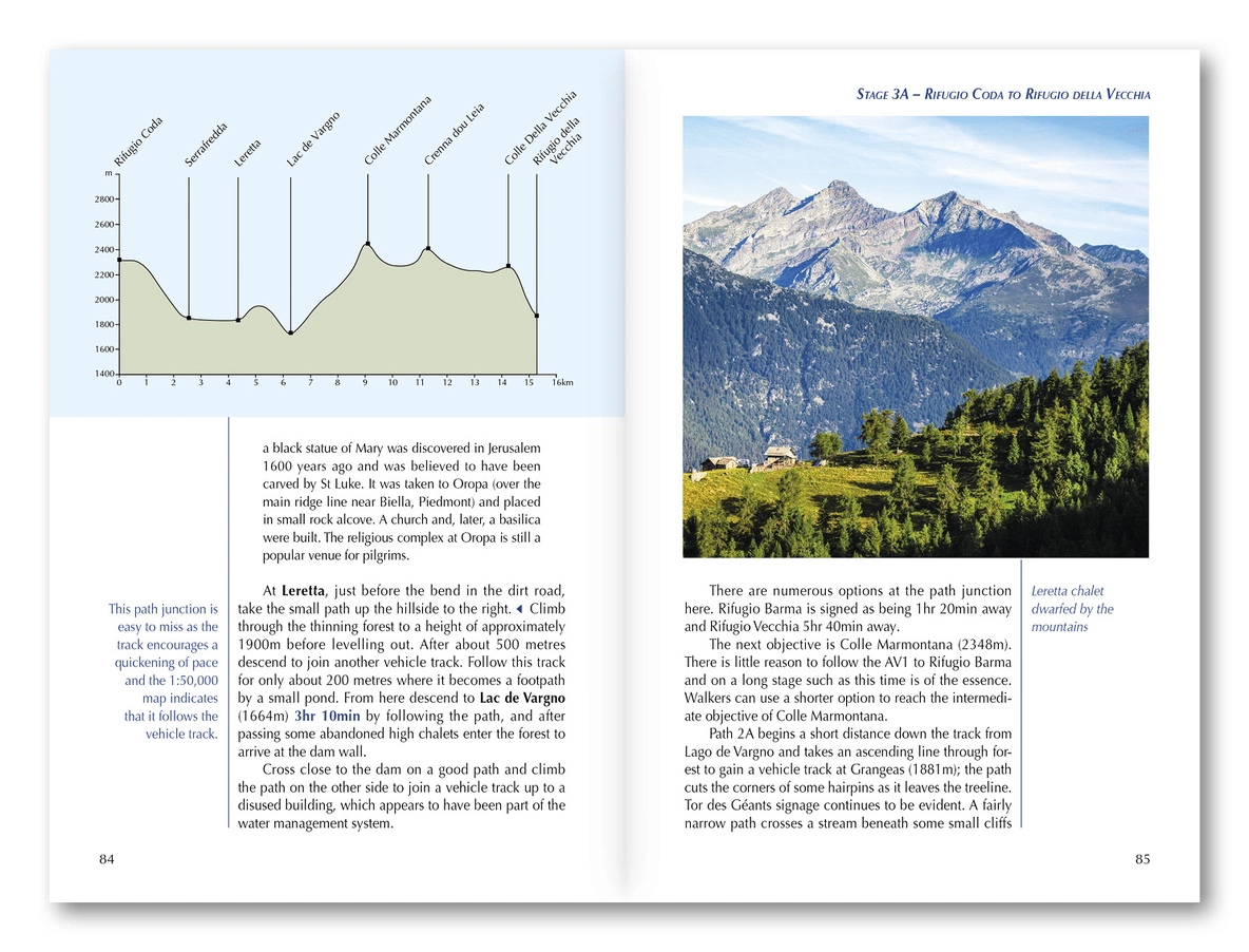
1:50,000 maps, Cicerone GPX tracks and data on distance, elevation and time accompany accommodation and food information. Transport, weather, equipment and preparation support planning. Use the route information to compare stages, plan your stops and check practical arrangements before departure.
Choosing the right trip
Passes approach 3000 metres, with repeated demanding climbs and descents. Alpine experience and fitness are needed; the publisher suggests late June hut openings to early September. Choose an itinerary that fits your experience and available time, allowing flexibility for weather and local conditions.
About this edition
English-language paperback by Andy Hodges. First edition, published in February 2021. 192 pages. ISBN 9781852849924.