Description
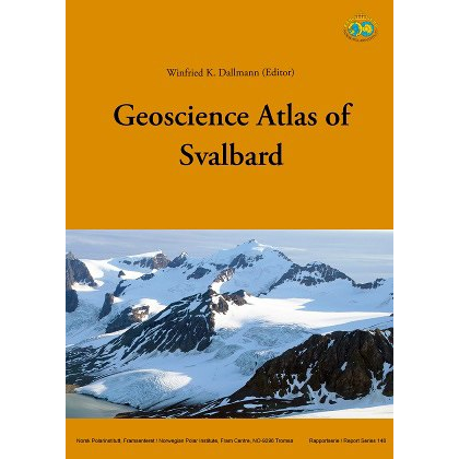
The Geoscience Atlas of Svalbard is the most comprehensive geological atlas ever published on Svalbard. Published by the Norwegian Polar Institute, the book brings together several decades of geological research in a single, richly illustrated publication and provides a unique overview of the archipelago’s geology, landscape development, and natural history.
The atlas presents geological knowledge about Svalbard through a large number of thematic maps, geological illustrations, and photographs. Among other topics, the publication covers bedrock, tectonics, volcanism, glaciers, Quaternary geology, sedimentary processes, natural resources, and the geological evolution of the archipelago over millions of years.
With approximately 170 maps and 400 photographs and illustrations, this book is both a scientific reference work and an impressive visual atlas. The content was written by leading researchers and is organized so that geologists, students, tour guides, and others interested in Svalbard can all enjoy the book.
The atlas was edited by W. K. Dallmann, one of Norway’s most prominent geologists with extensive experience in research and mapping in Svalbard. The book is part of the Norwegian Polar Institute’s report series (Report 148) and provides a comprehensive overview of the geological research conducted on Svalbard.
The large format of 25 × 34 cm makes the atlas particularly well-suited for displaying detailed geological maps and illustrations with high readability.