
Description
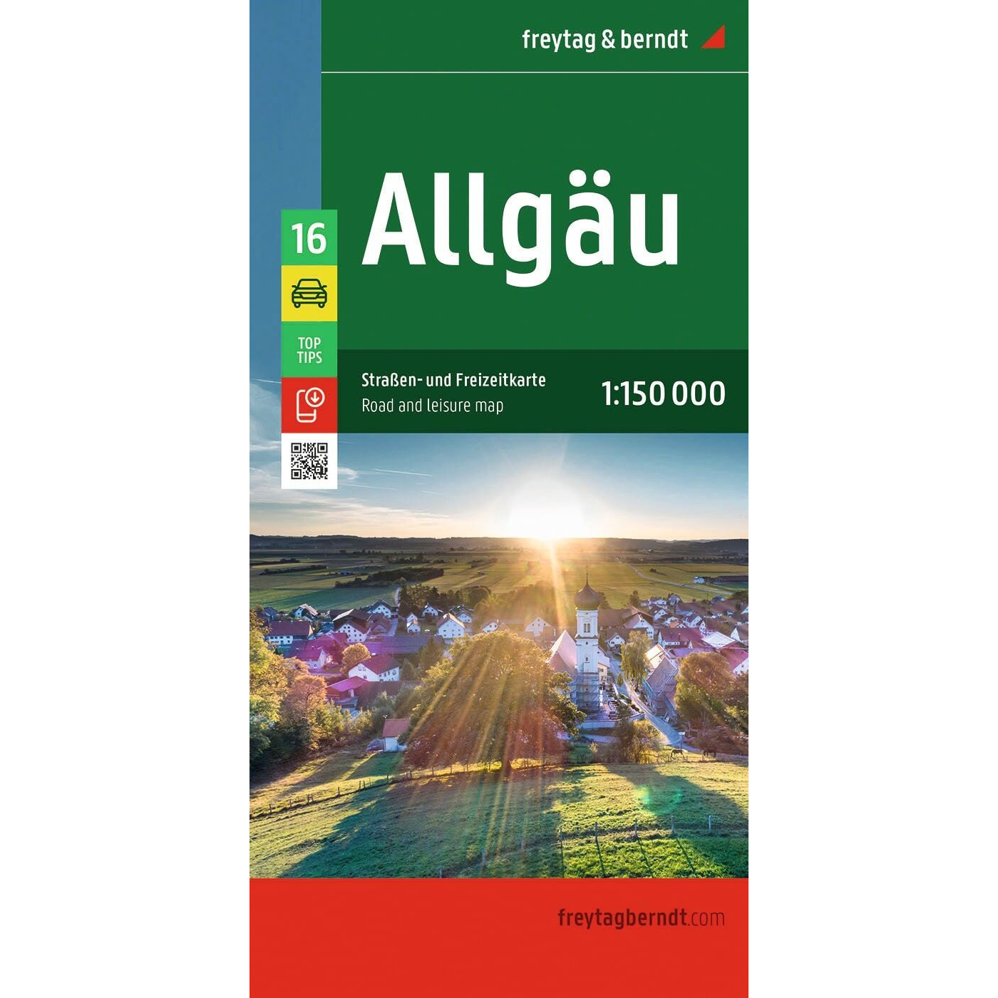
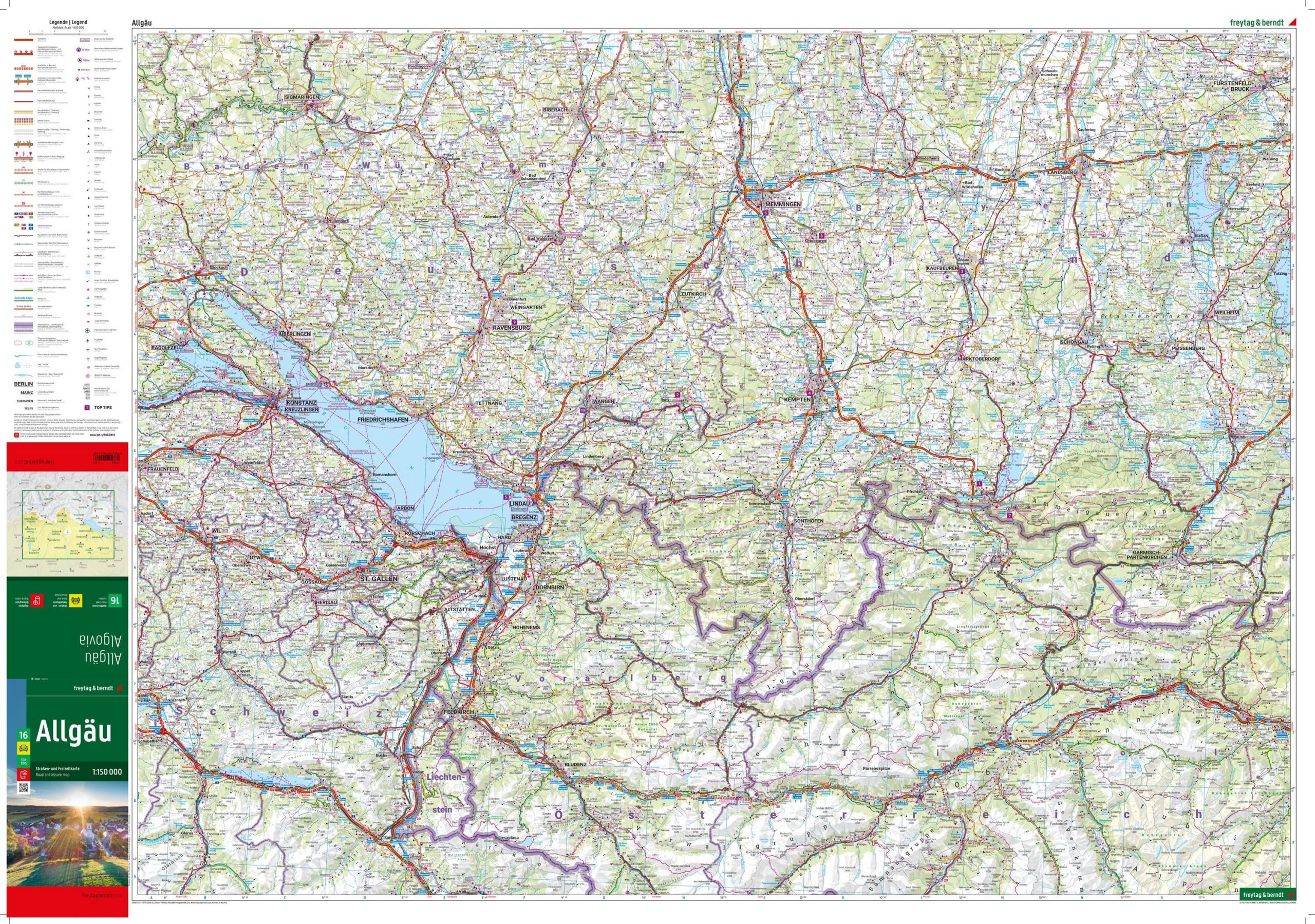
Freytag & Berndt Allgäu is a detailed road and recreational map covering the Allgäu region in southern Germany at a scale of 1:150,000. The map is designed for travelers who want a clear and up-to-date map for road trips, motorcycle tours, or RV trips through one of Germany’s most beautiful vacation areas.
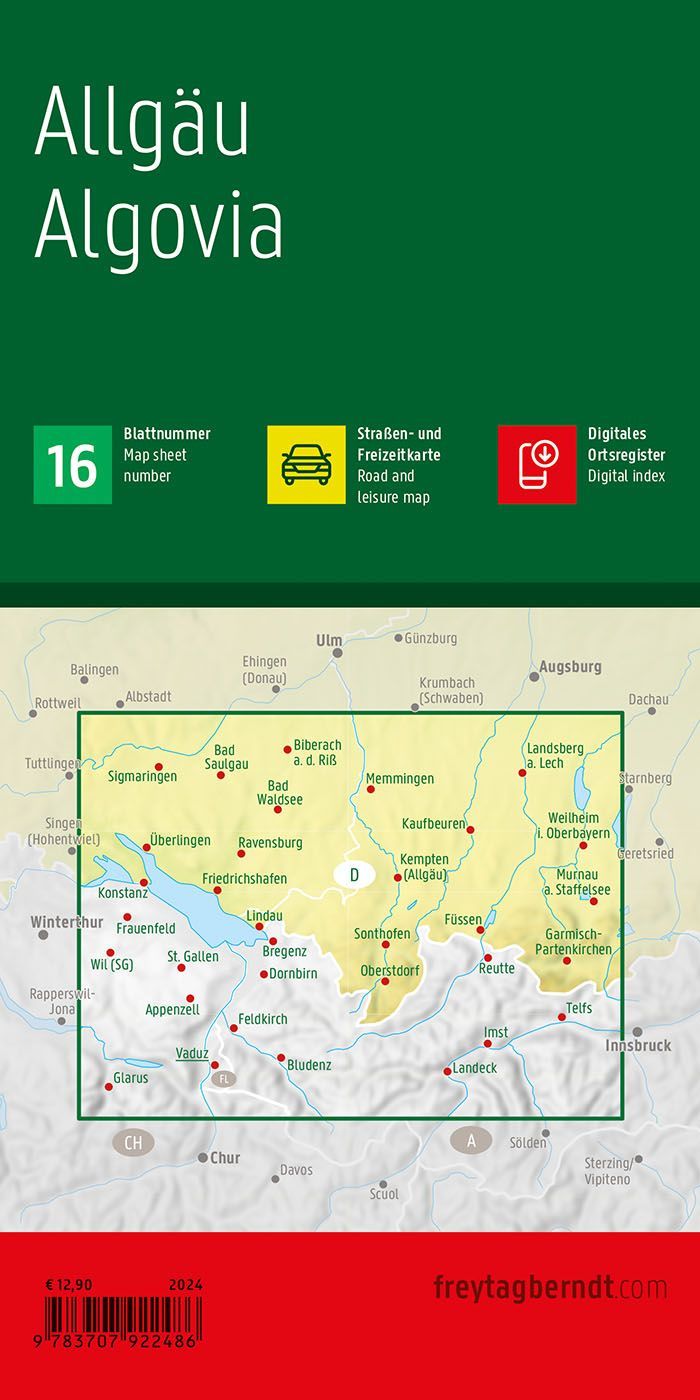
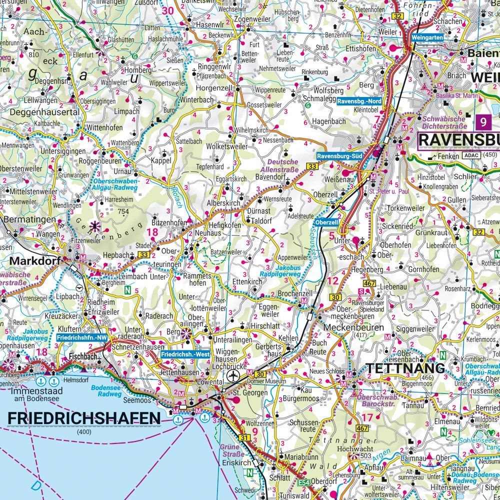
The map shows a detailed road network with distances, scenic routes, and a number of popular destinations. In addition , campgrounds, RV parks, and tourist information centers are clearly marked, making the map a practical tool both during planning and while traveling. The region offers everything from alpine mountain landscapes and lakes to historic towns and cultural landmarks. Among the highlights are the world-famous Neuschwanstein Castle, the Allgäu Alps, Lake Constance, and the historic towns of Kempten and Memmingen. The map also covers areas near Garmisch-Partenkirchen, Liechtenstein, Austria, and Switzerland, making it well-suited for cross-border tours.
The map includes a digital index of locations with ZIP codes, as well as a digital guide featuring Top Tips for the region’s most important attractions. The clear cartography from Freytag & Berndt makes the map easy to use for both navigation and planning. The 2024 edition features updated map data with the latest available information on the road network, tourist information, and destinations in the Allgäu.
Release year: 2024.