


 Wall Map – Østfold County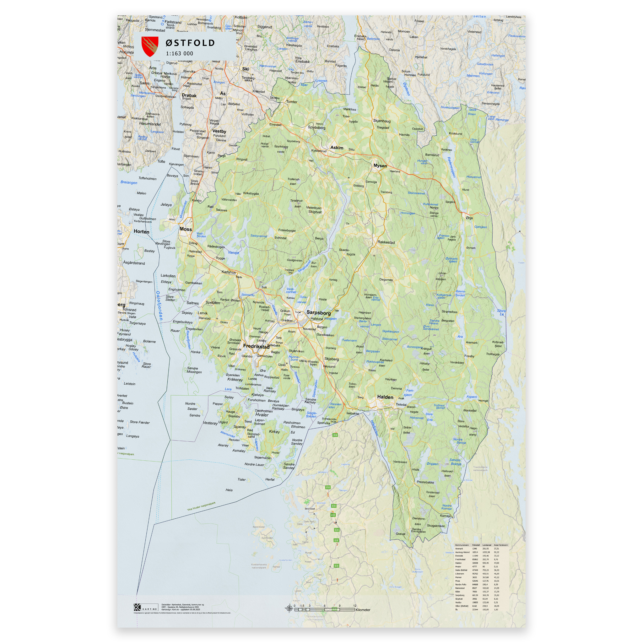
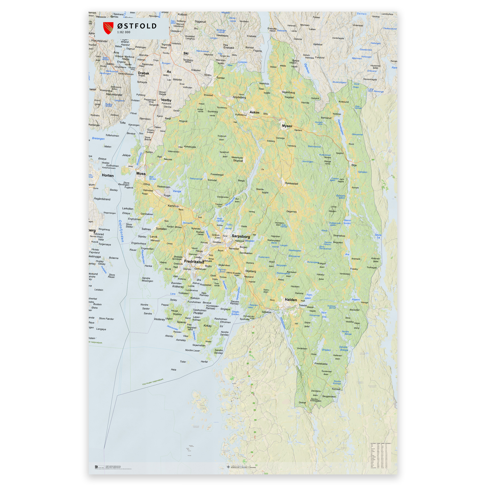

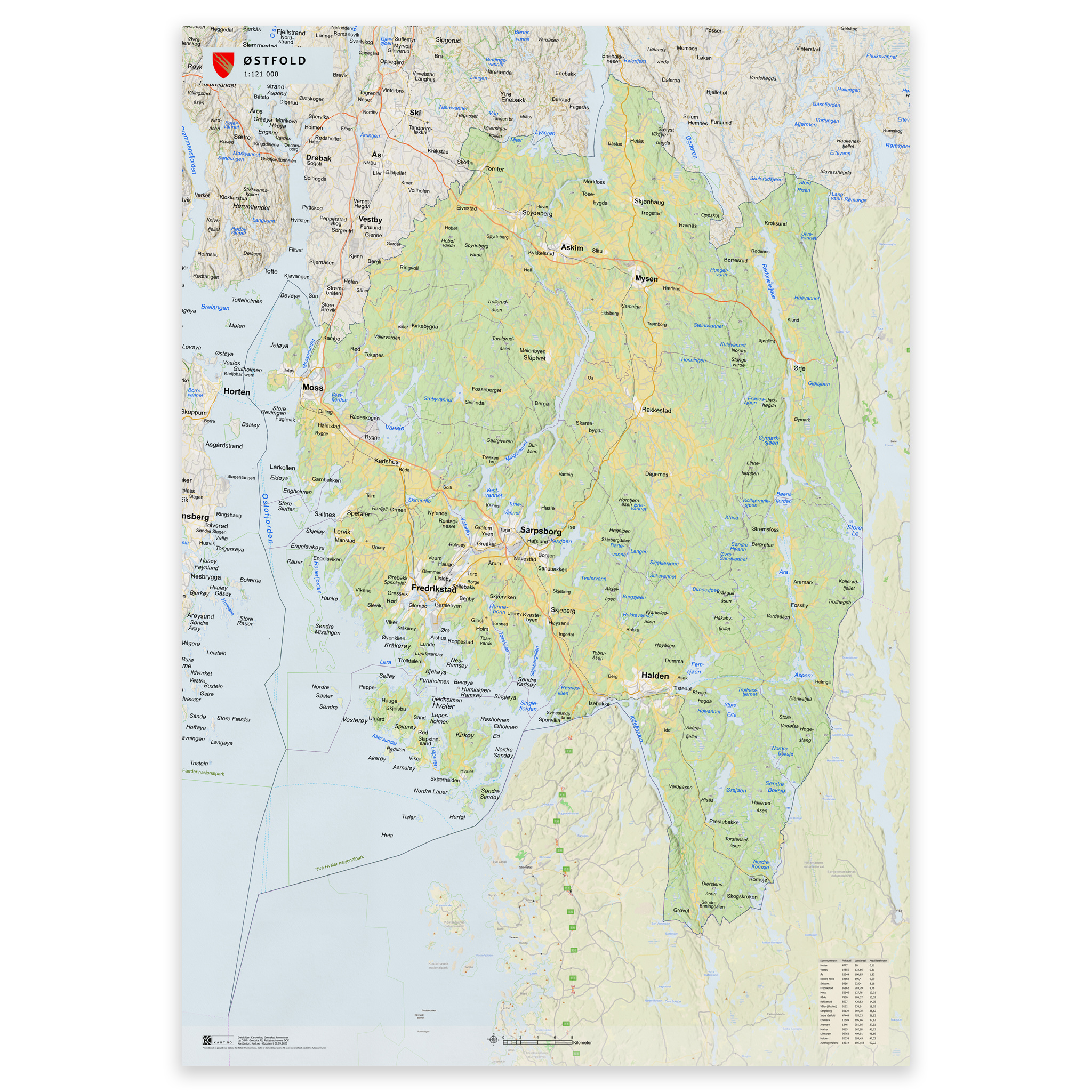
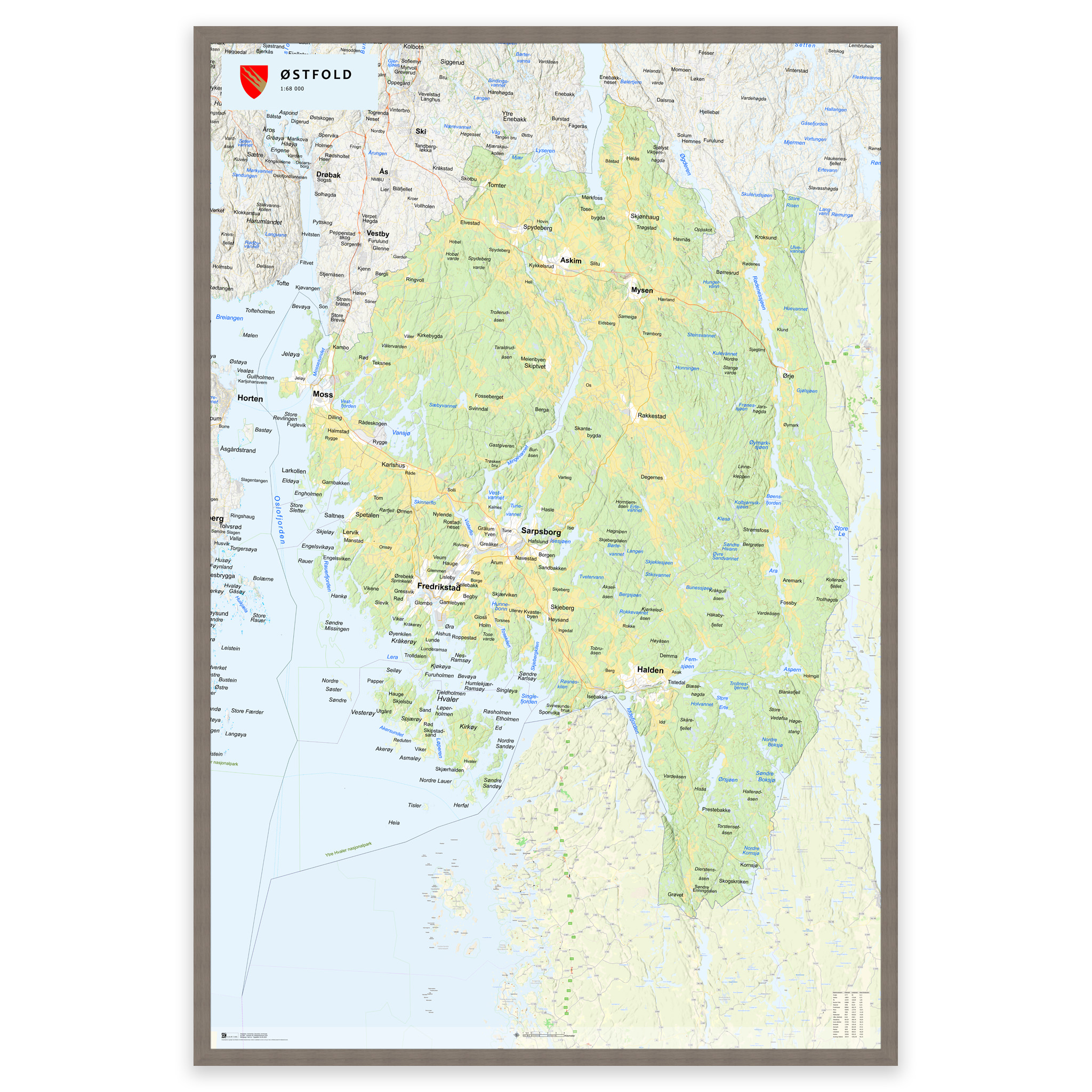
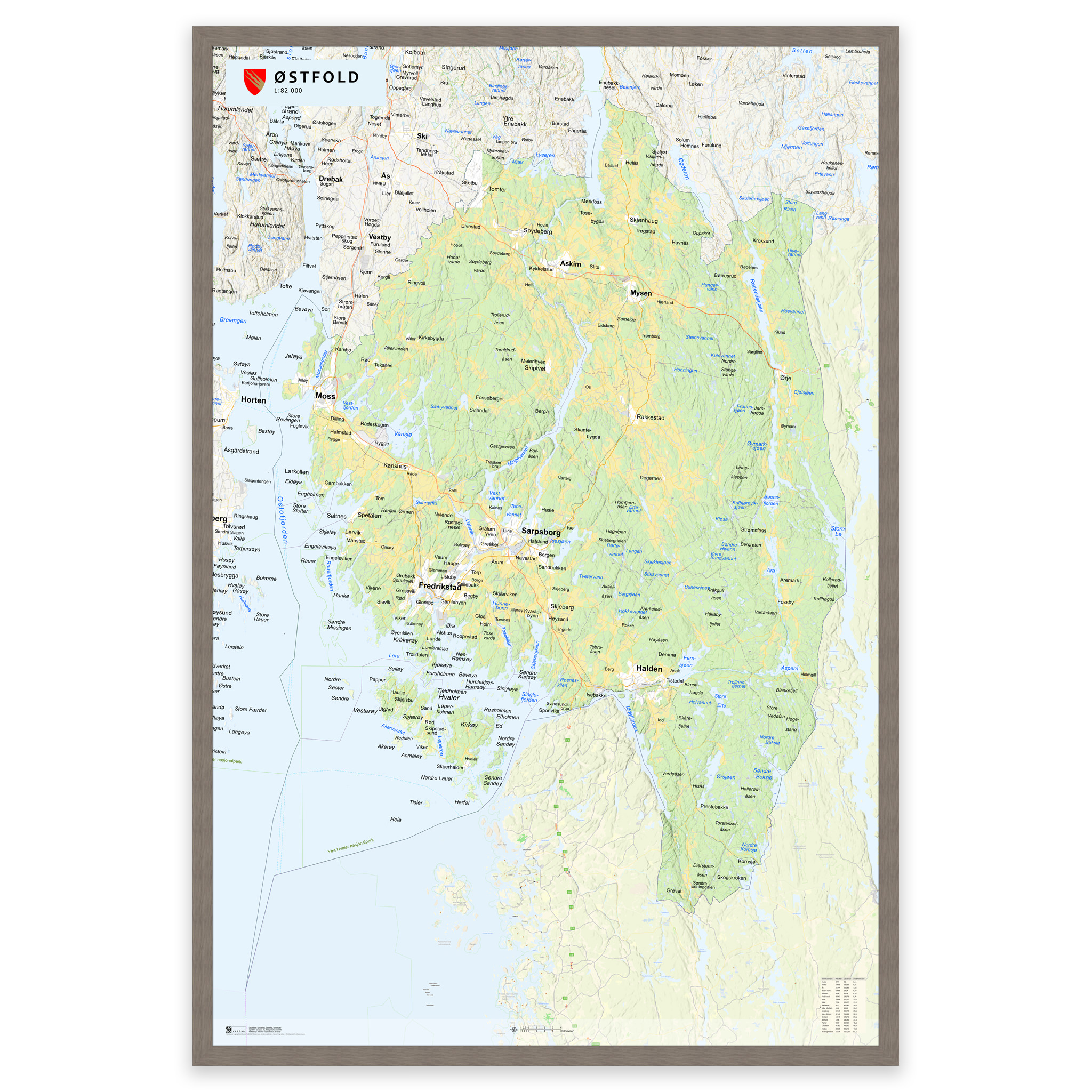



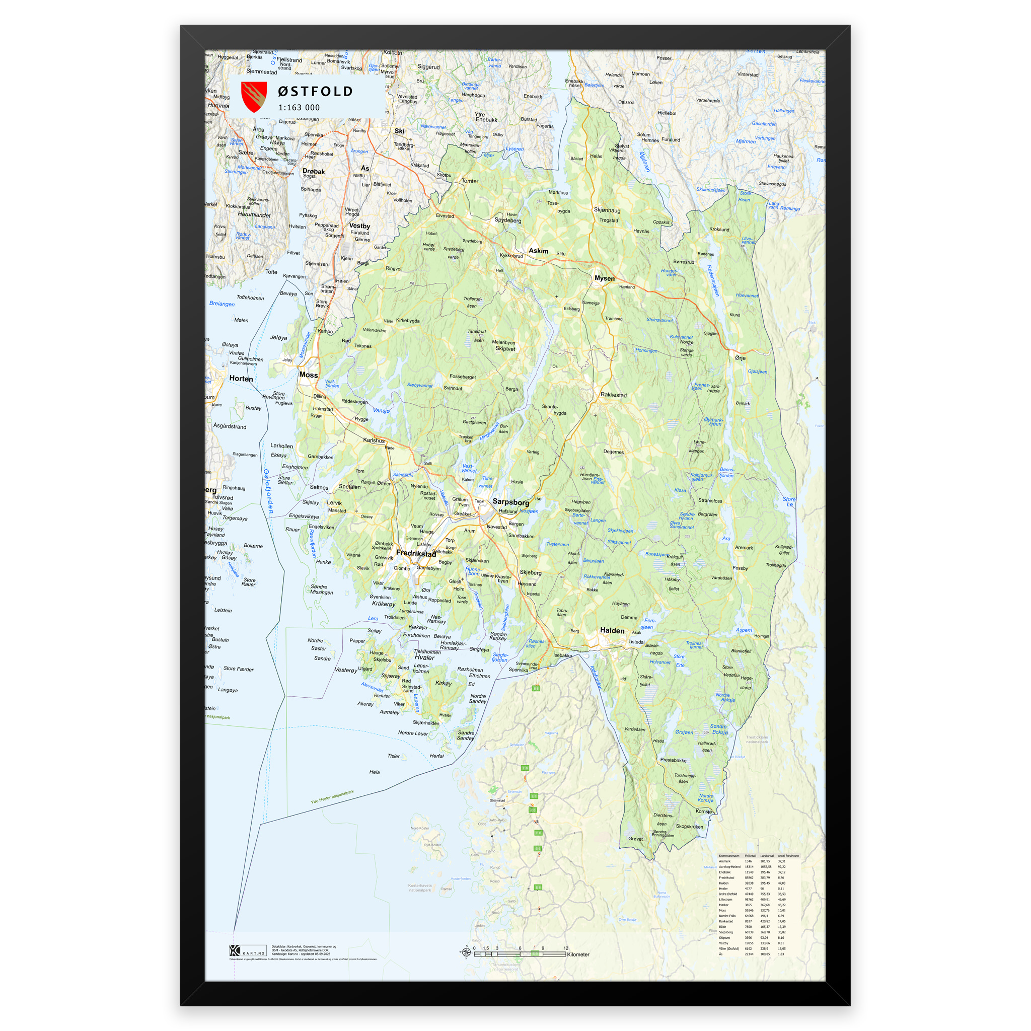
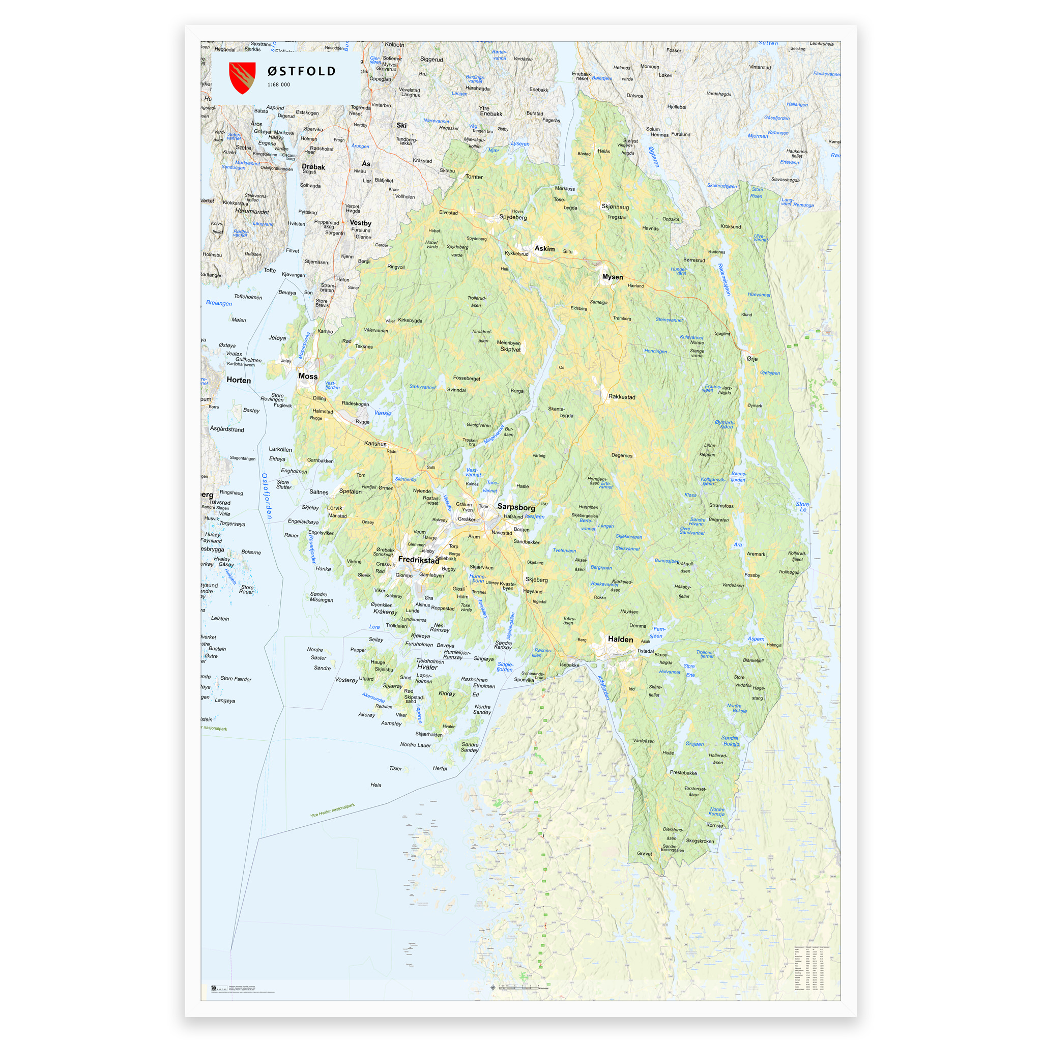
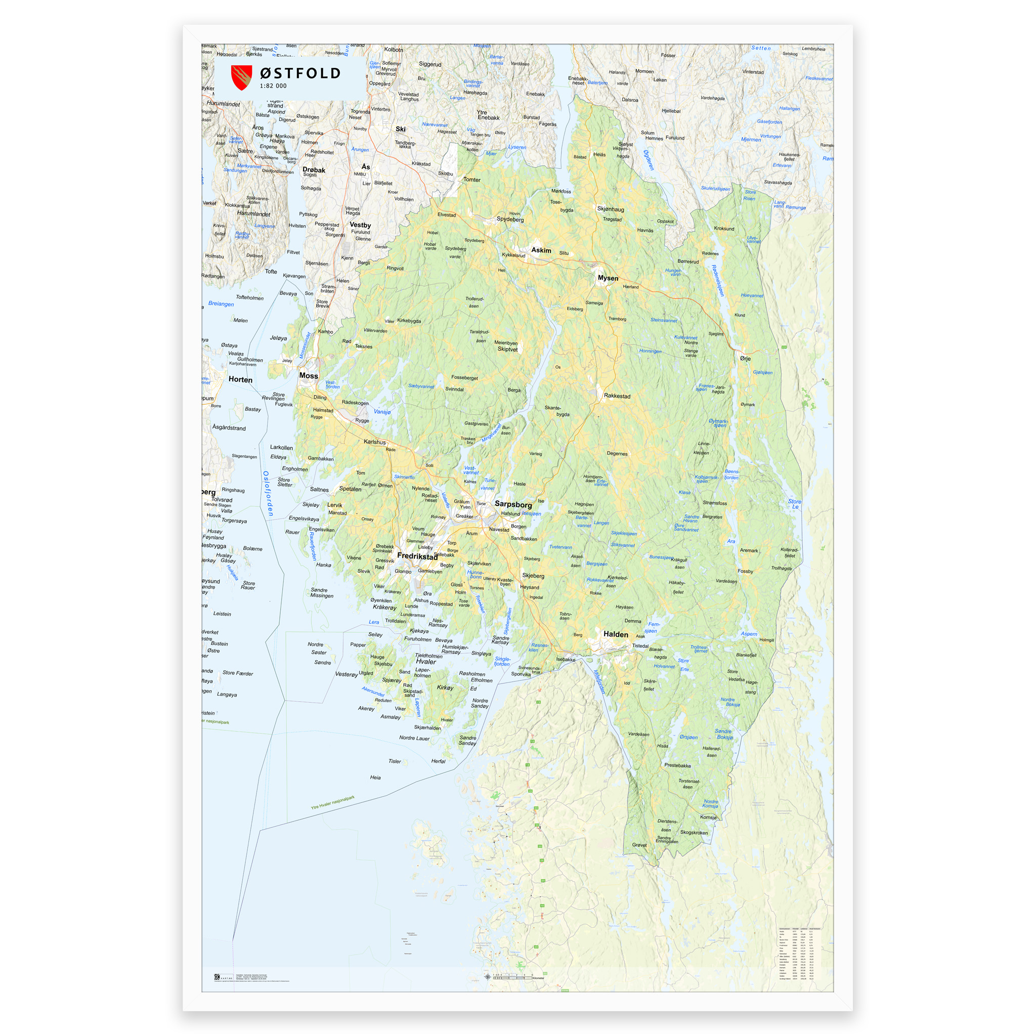
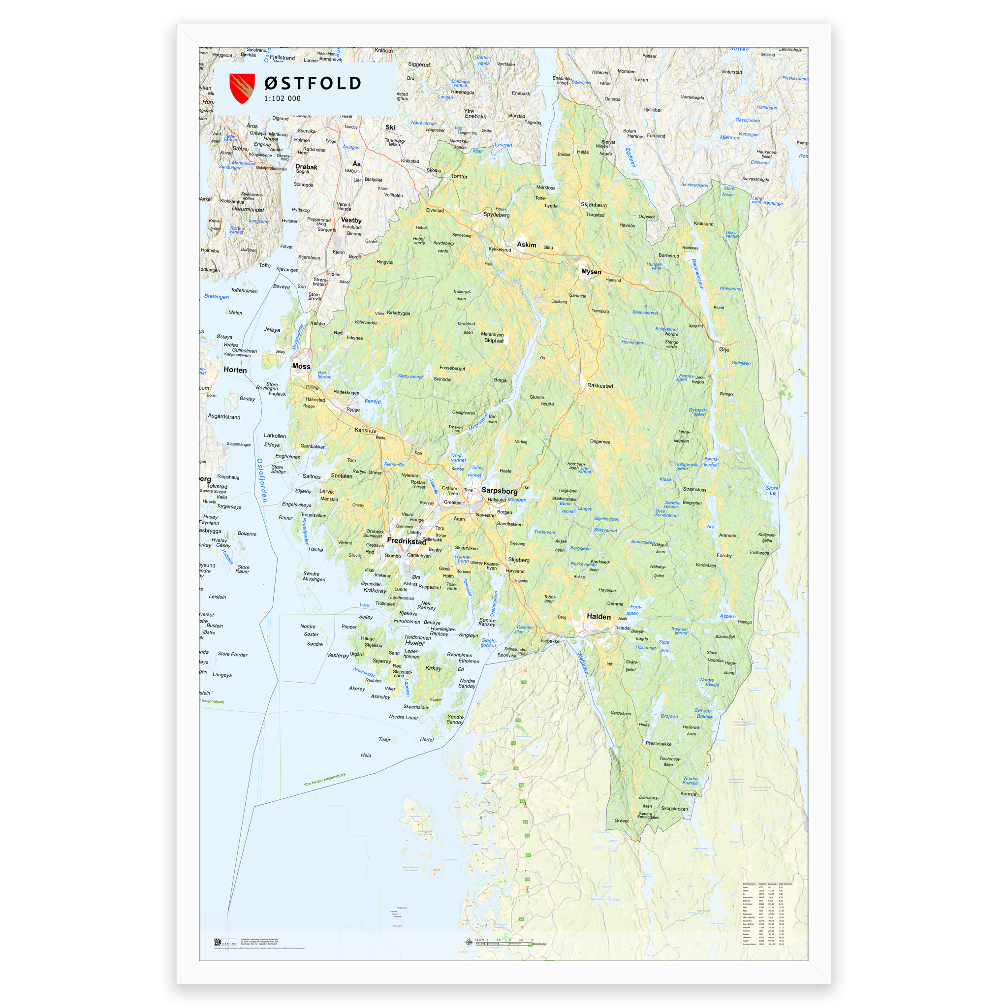
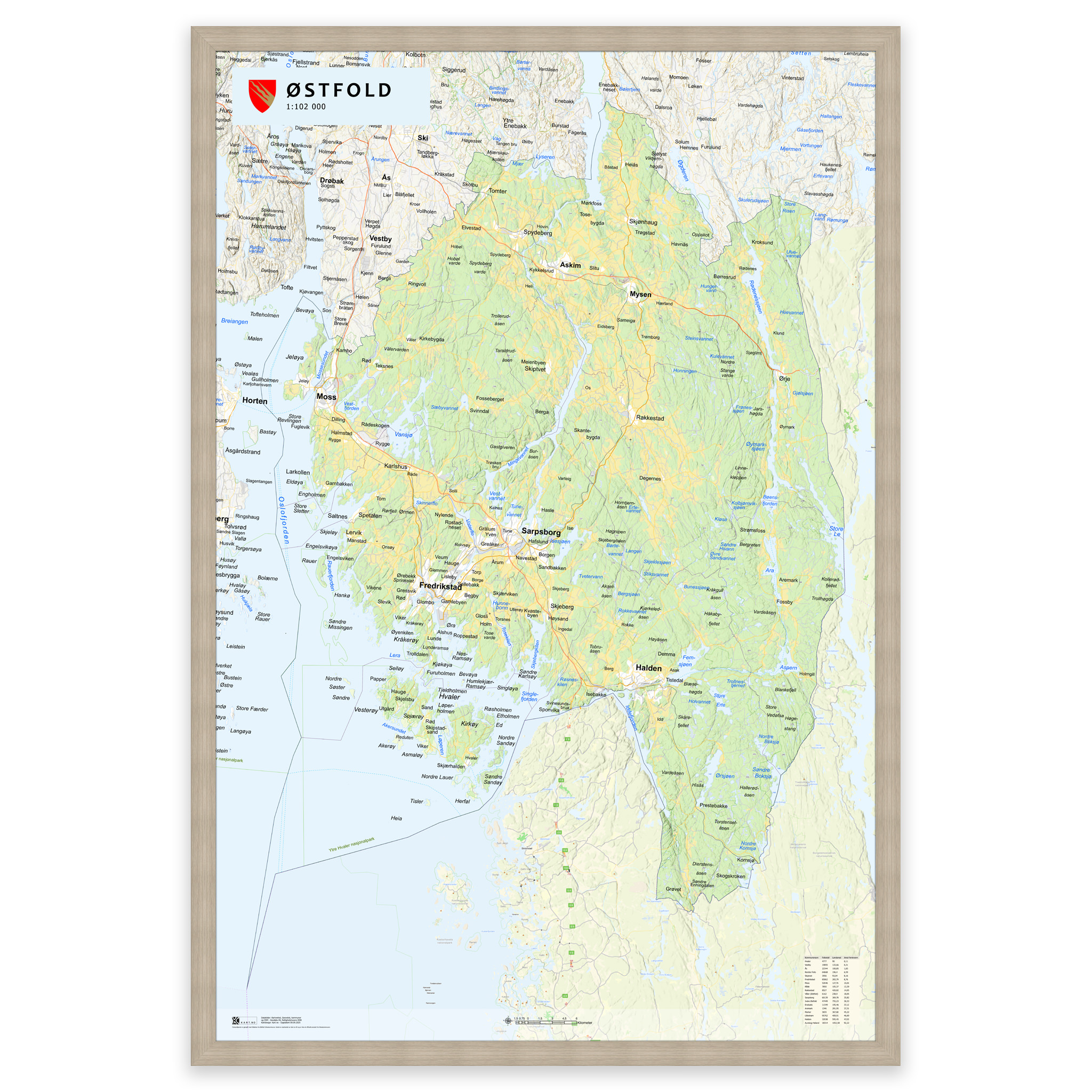

Wall Map – Østfold County
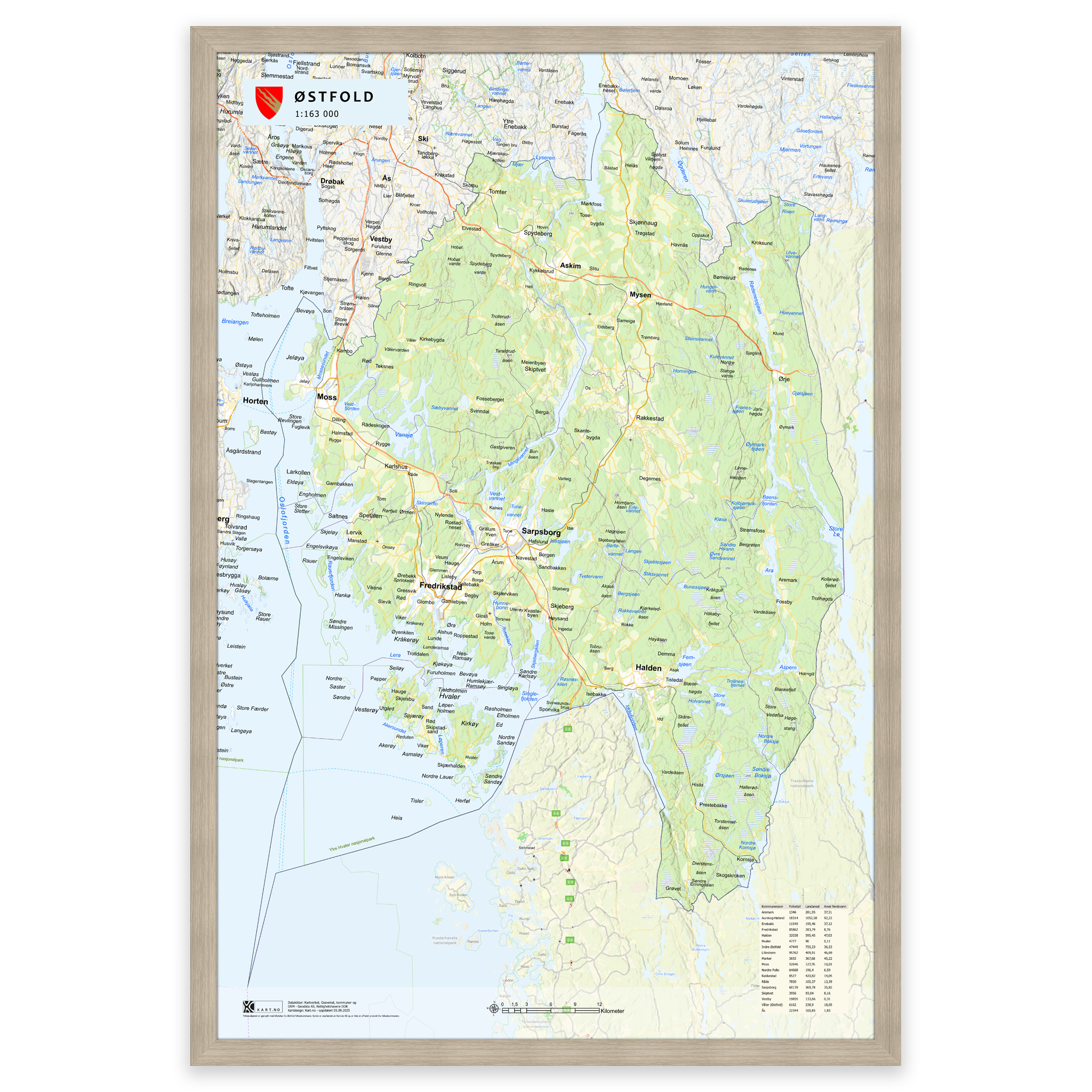
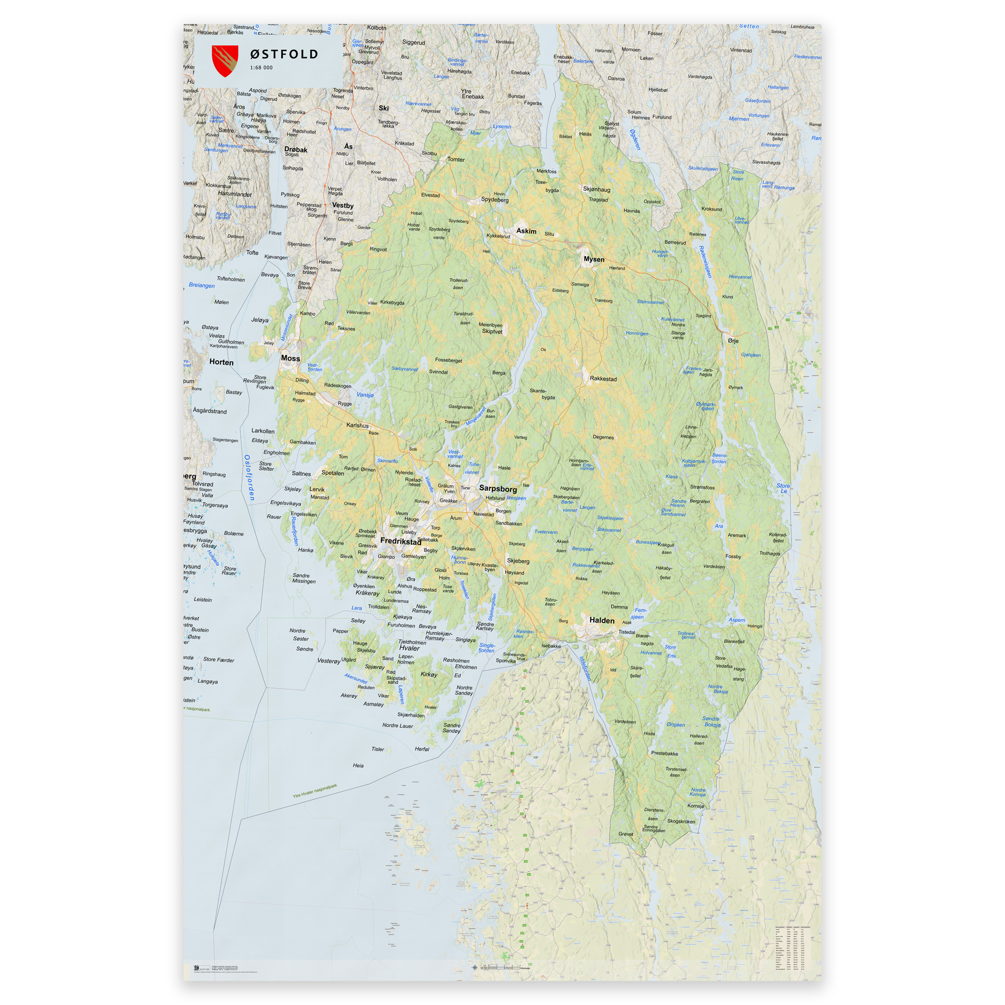
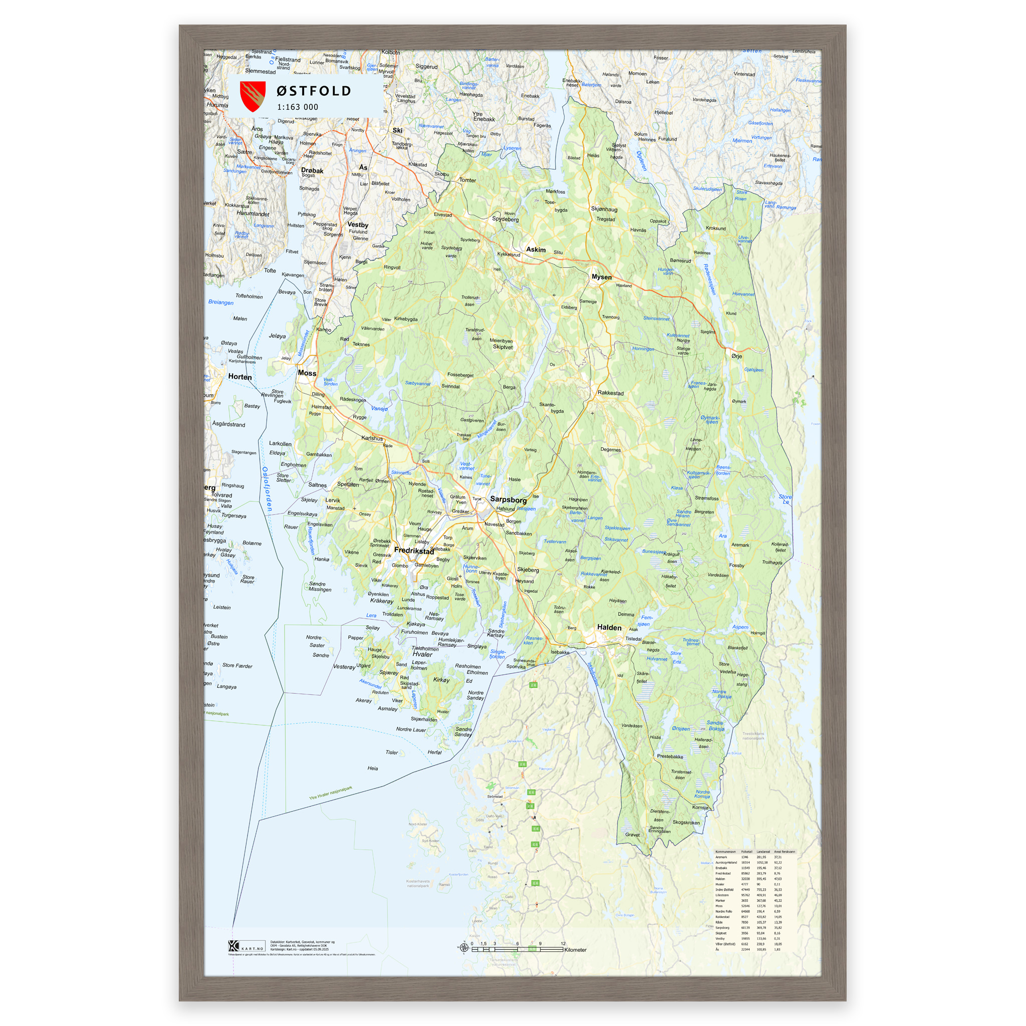
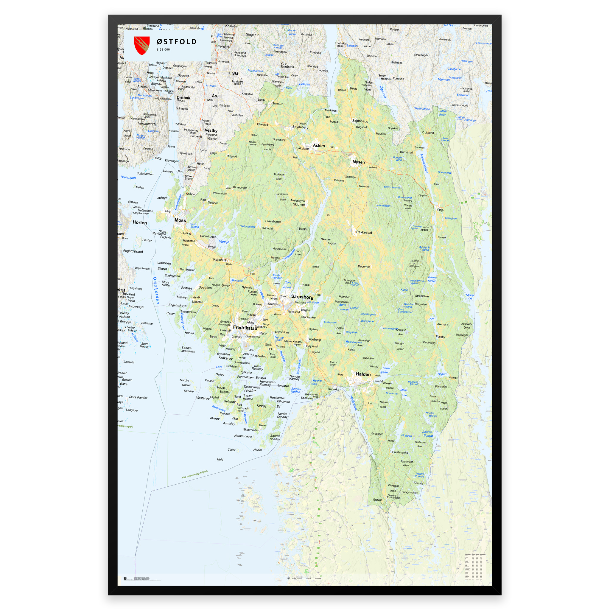
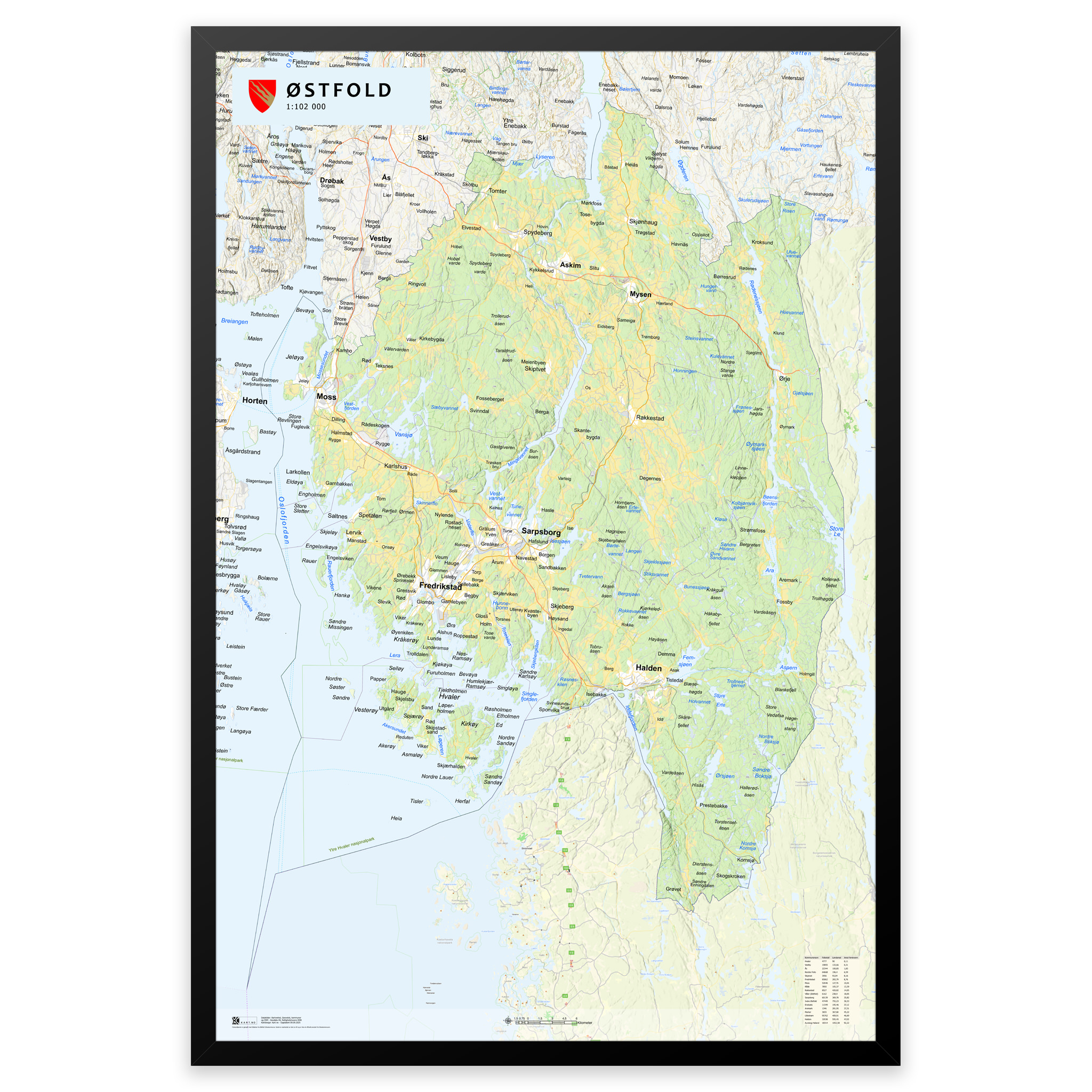
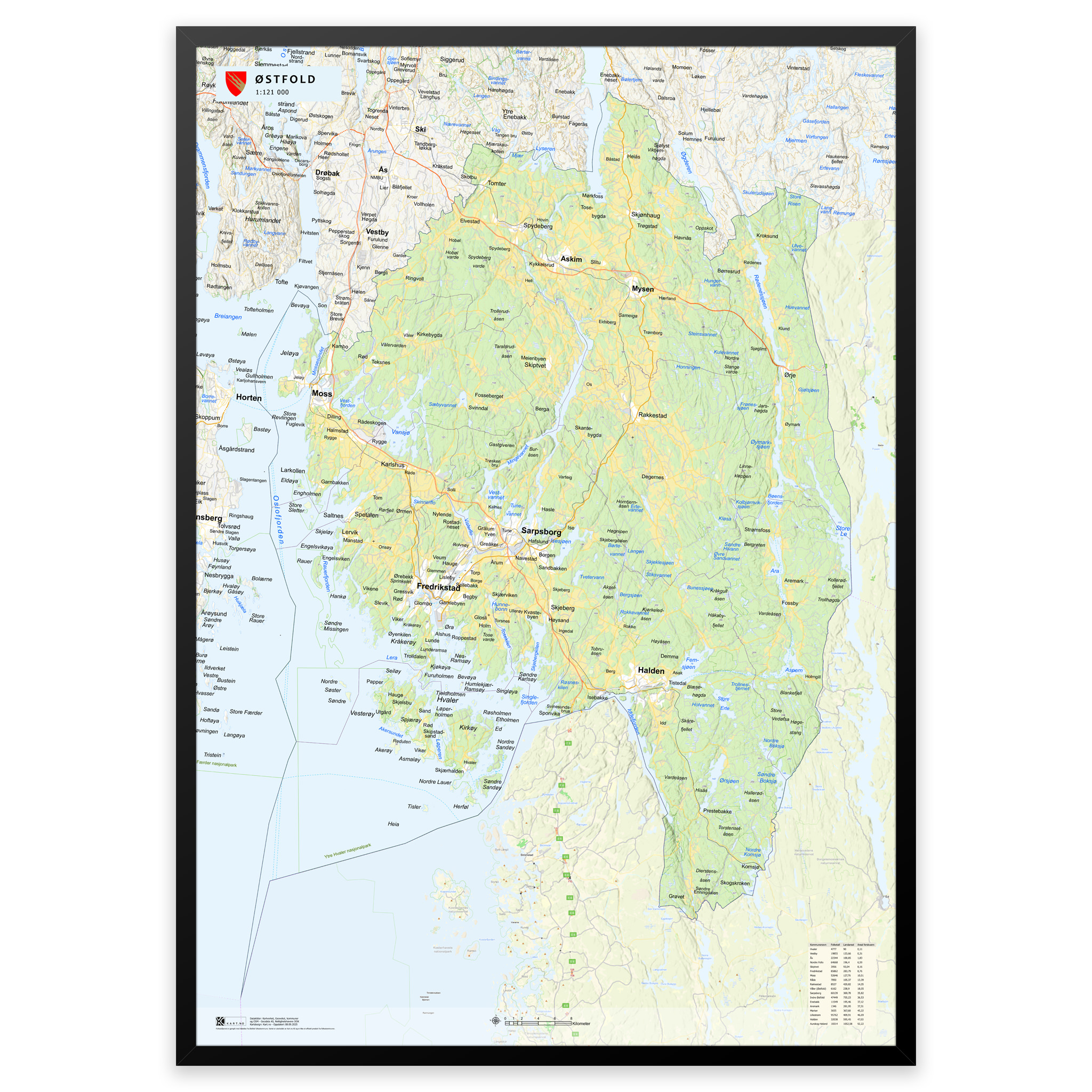
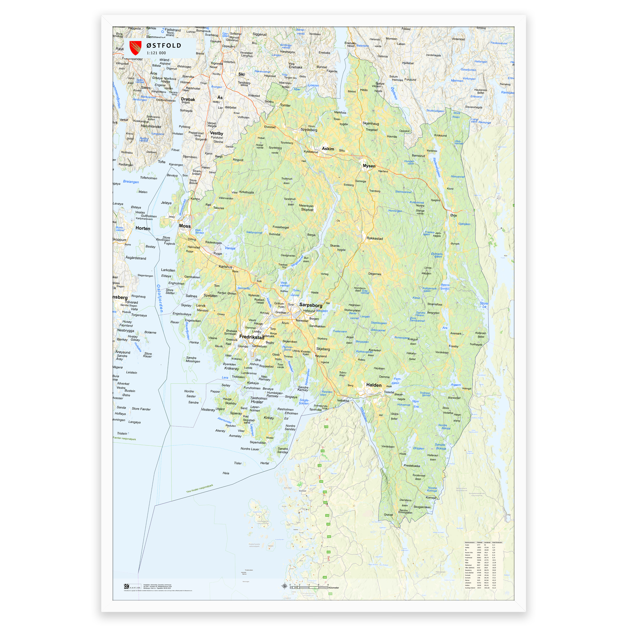
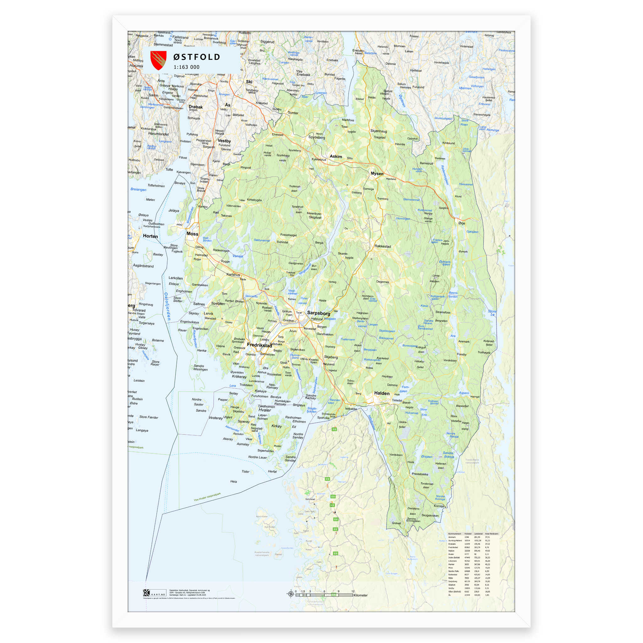
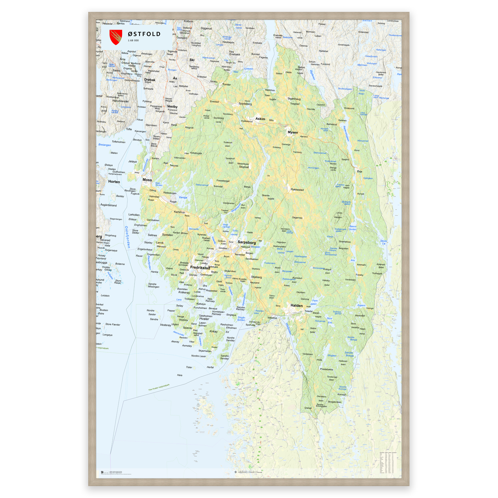
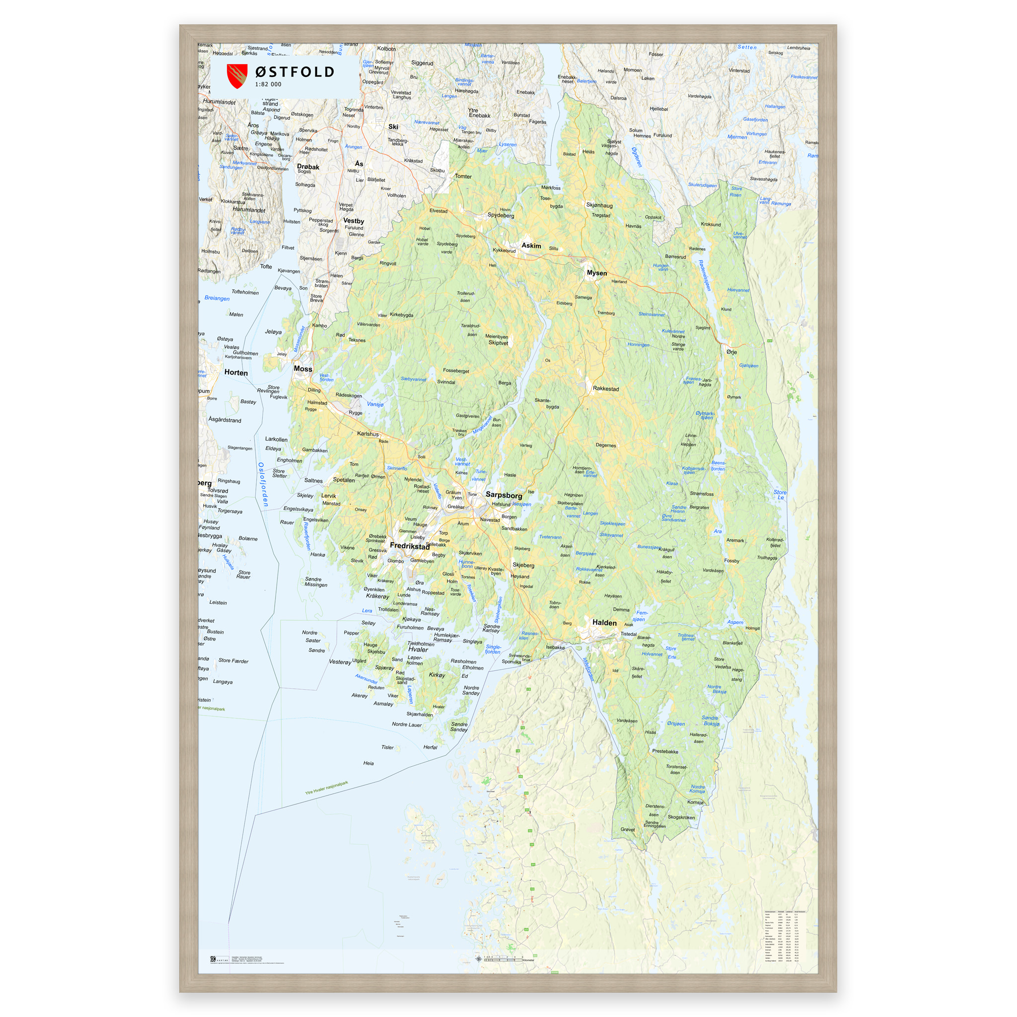
A stylish and detailed map of Østfold County—available in five sizes.
The map shows the entire Østfold county with clear municipal boundaries and an up-to-date administrative division. Produced to order using updated map data from the Norwegian Mapping Authority—always up to date with municipal and county boundaries. The topographic shading creates a lifelike, three-dimensional effect.
The colors are taken from classic Norwegian cartography, and the map is produced with 12-color pigment inks that provide high detail, deep hues and longevity – up to 400 years.
Order as a poster, map on plate or framed print on art paper – perfect for the home, office or classroom.
Select the desired size and use the zoom function (magnifying glass) to see scale and detail.
From 0,00 €
Recommended products
-
Classic world map with countries and capitals
From 0,00 €
Select options -
Norway map with updated county boundaries – stylish and detailed wall map
From 0,00 €
Select options -
SaleIn stock

Primus Klunken Vacuum Bottle 0.5L Mint – Thermos
Original price was: 38,01 €.26,58 €Current price is: 26,58 €. Add to cart