
Description
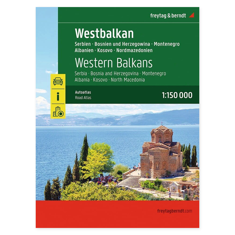
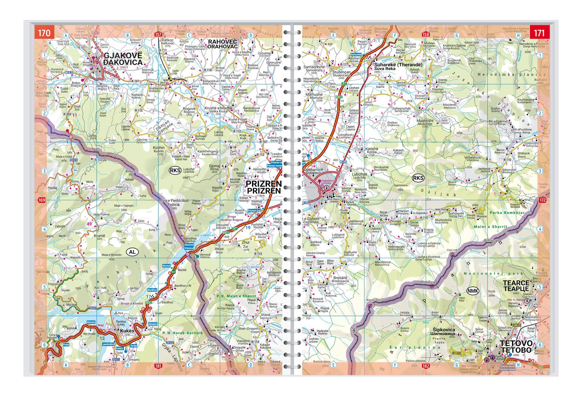
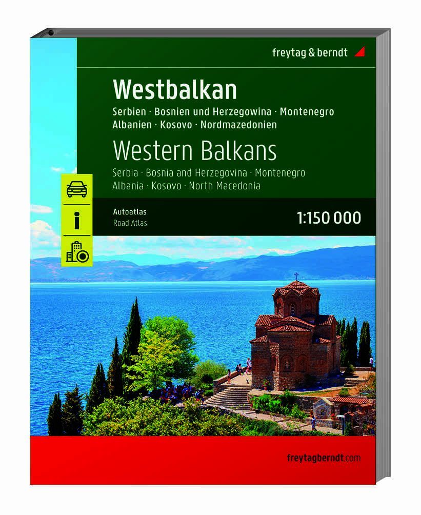
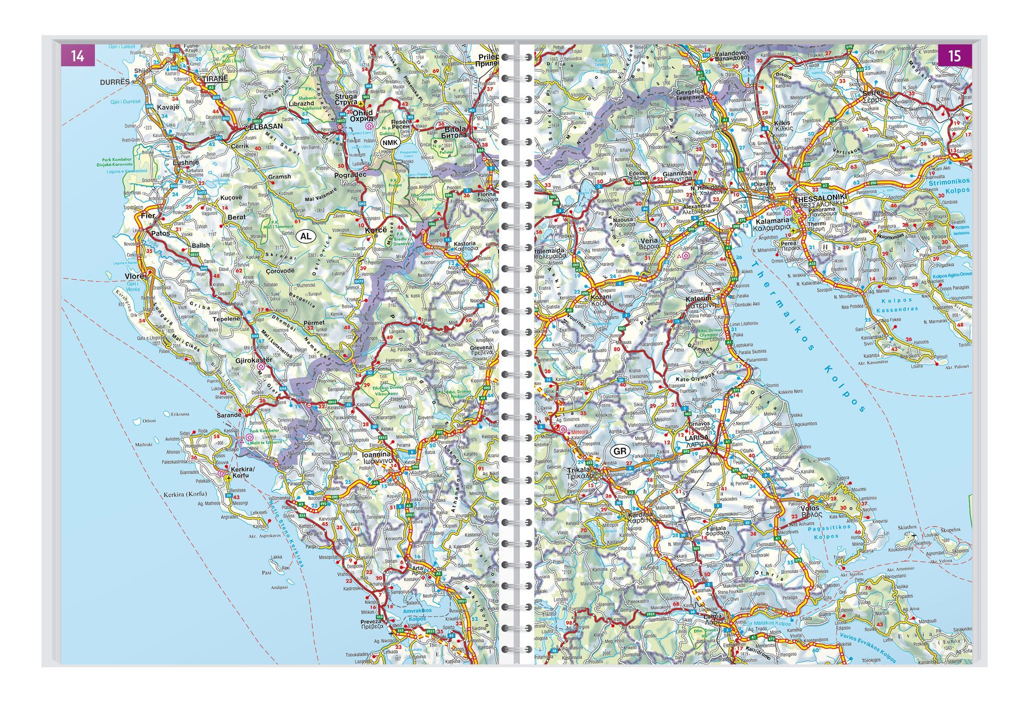
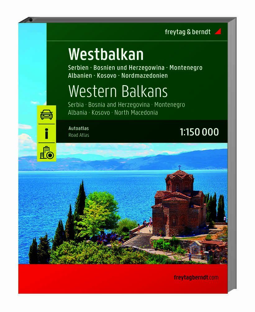
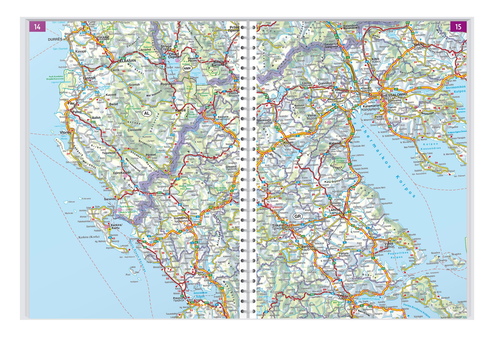
Western Balkans – road atlas (multilingual) at a scale of 1:150,000 provides an overview when planning your journey and wanting to see the connections between different destinations. The map can be used at home before departure and taken with you when you want geography easily accessible along the way.
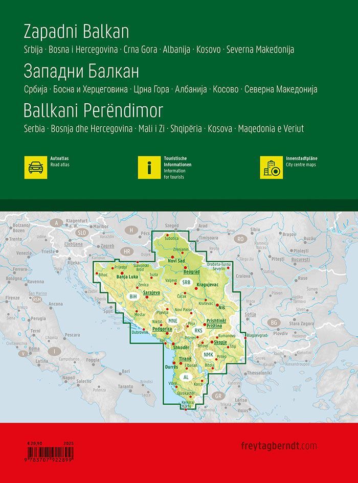
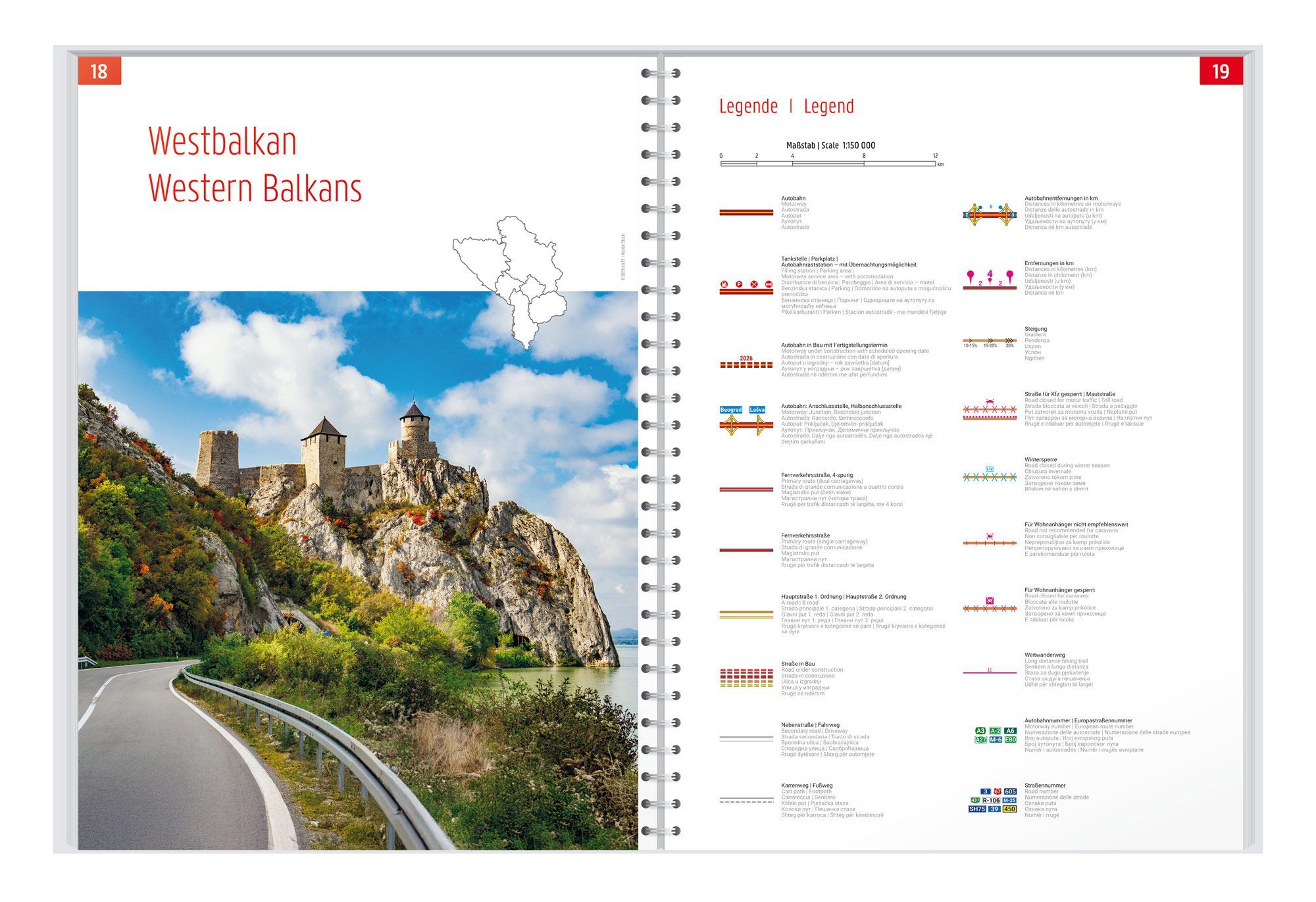
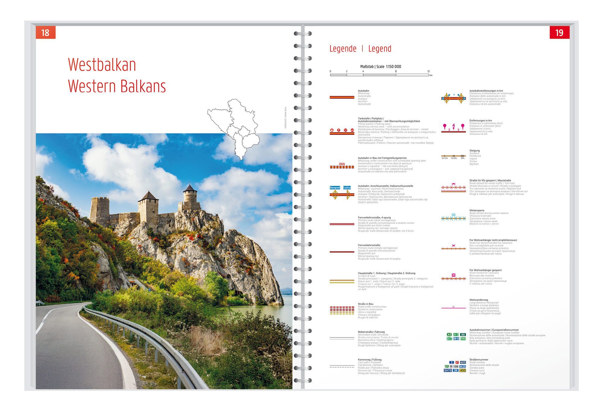
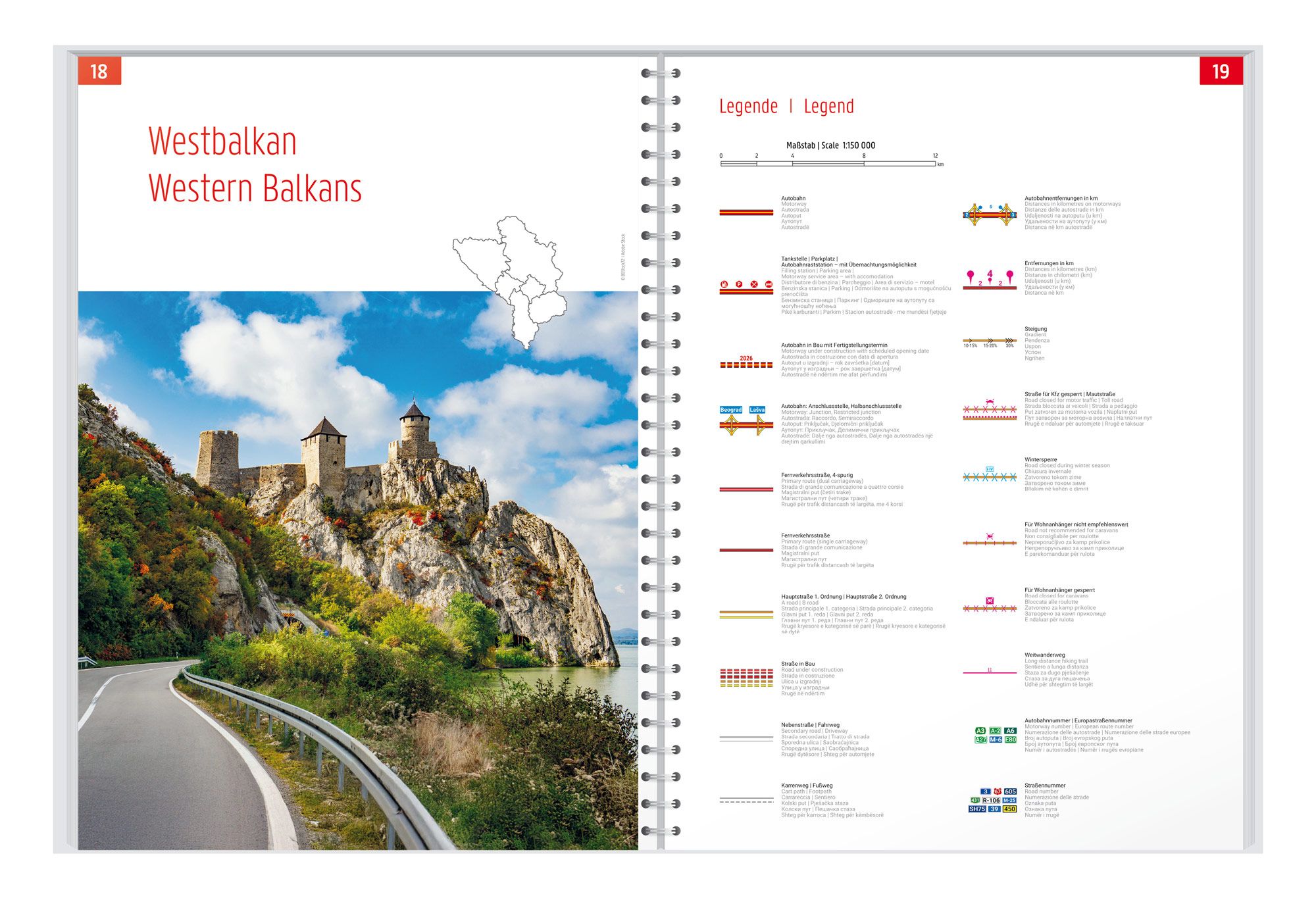
Serbia, Bosnia-Herzegovina, Montenegro, Albania, Kosovo, and North Macedonia are collected in one detailed road atlas. Scenic routes are highlighted. Planning maps of the Balkans and Europe provide an overview before you proceed to the individual map sheets.
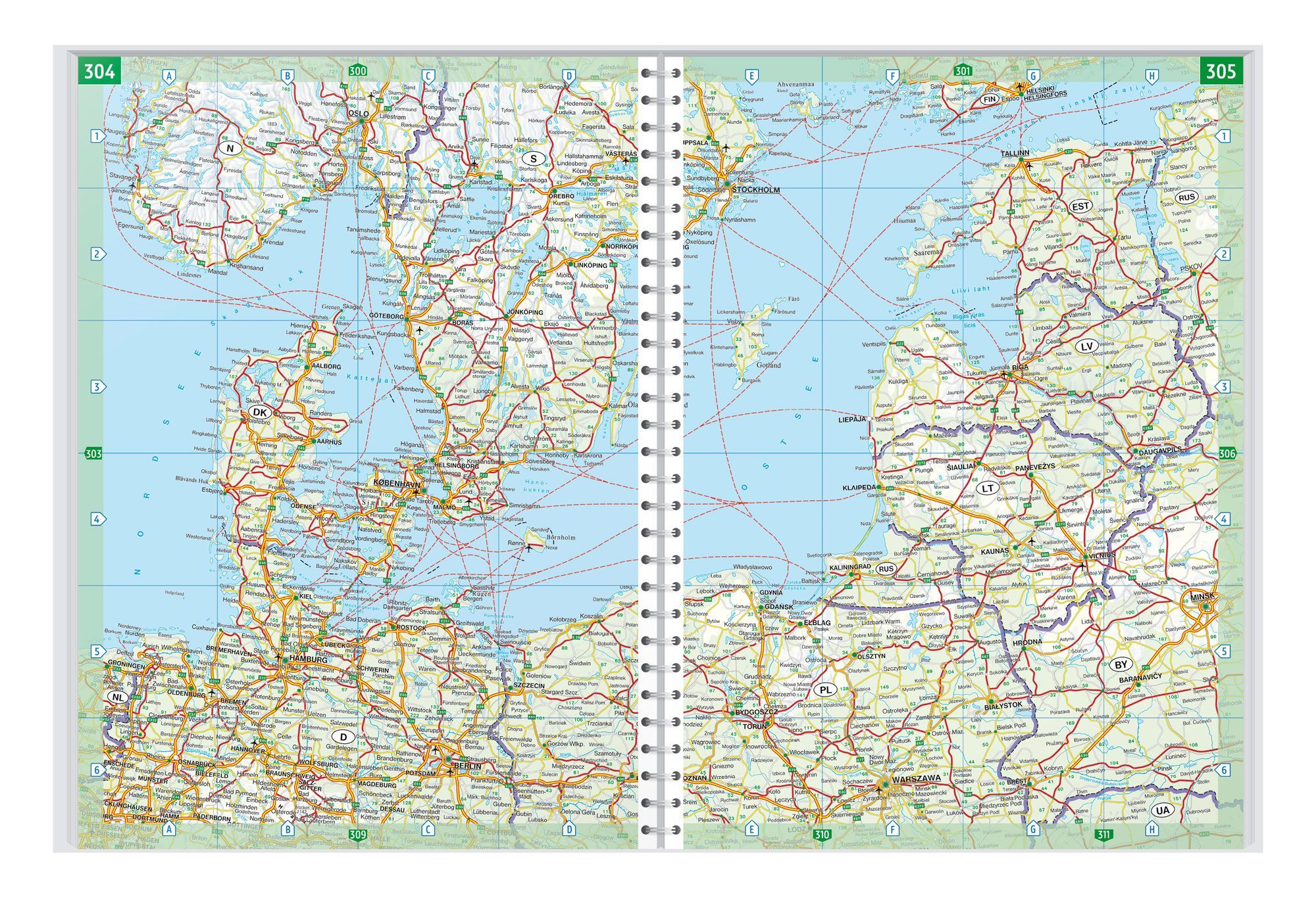
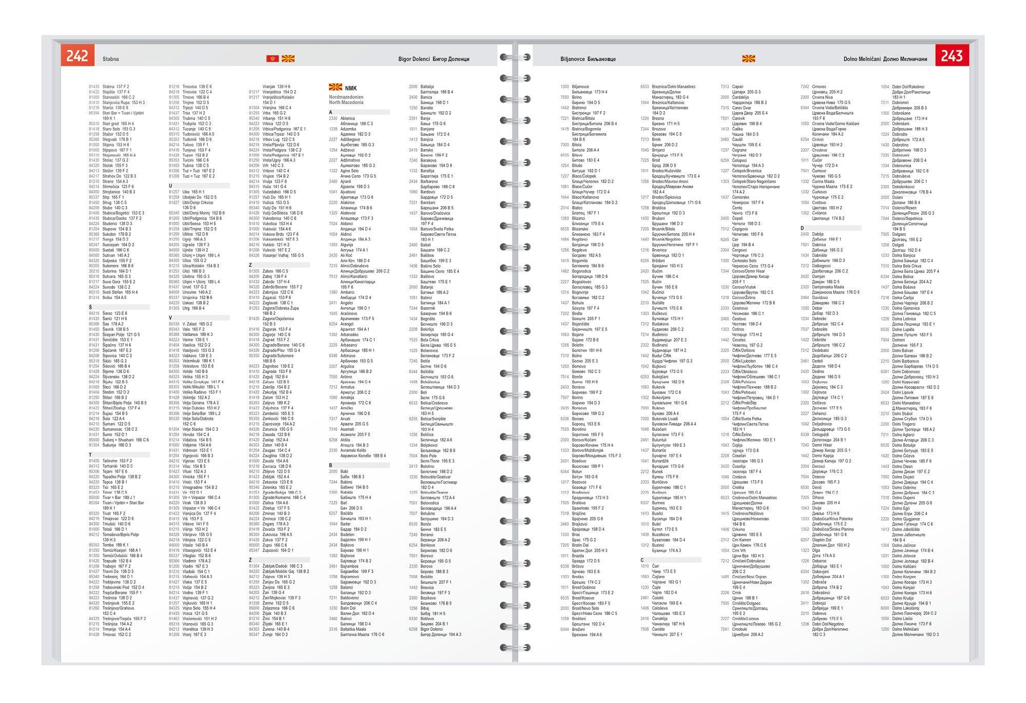
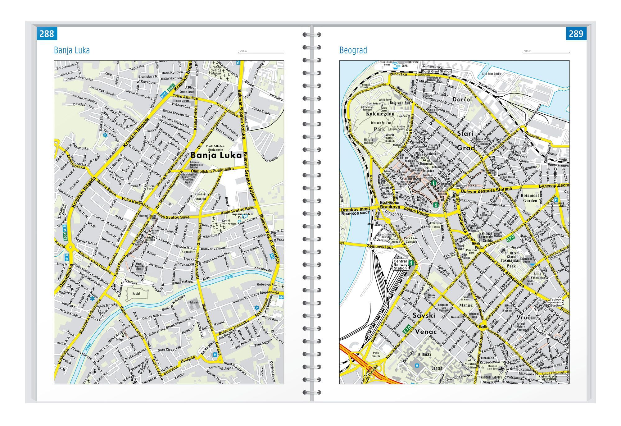
Eight city maps, camping and motorhome sites supplement the road network. Among the city maps, you will find Sarajevo, Tirana, and Belgrade. The atlas features an index of places with postcodes, hidden spiral binding, and 320 pages in a format of approximately 23 × 29.7 cm.
Plan with the maps in front of you. Flip between the areas you wish to visit and see the destinations in context. The book format keeps the map material together, making it easy to return to relevant map sheets both before and during the journey.
Practical information: Scale 1:150,000. Year of publication 2024. ISBN 9783707922899. Publisher Freytag & Berndt.