Lofoten
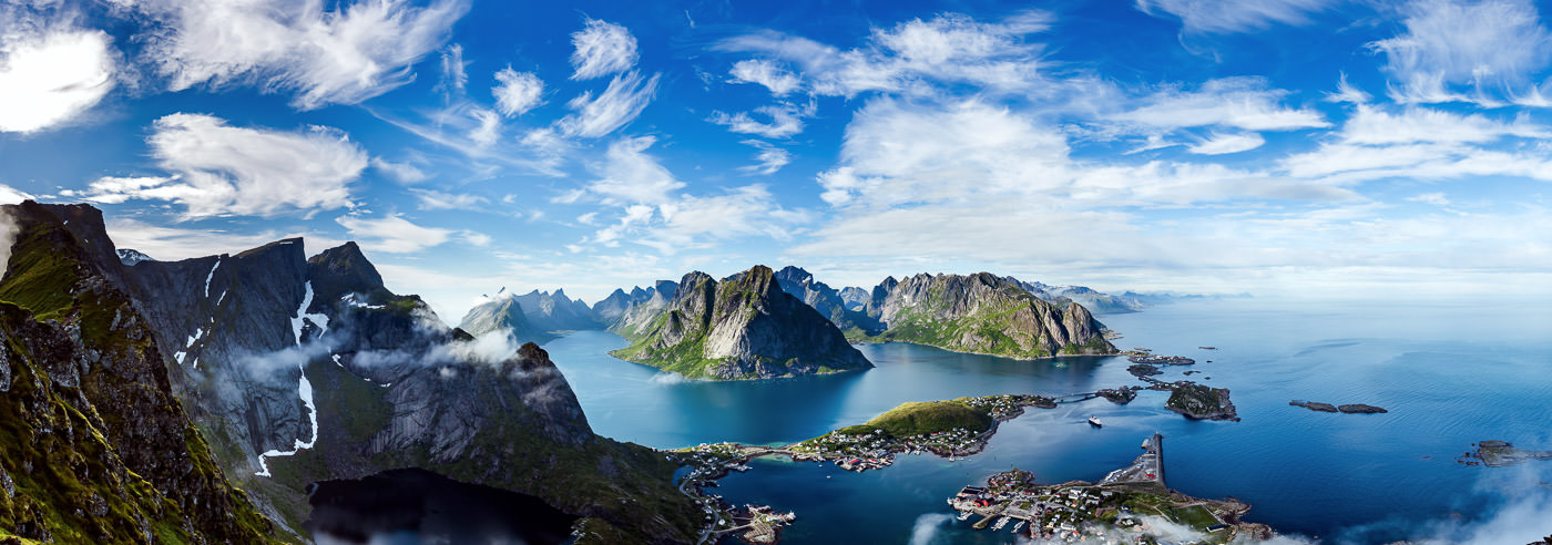
Lofoten is a spectacular island archipelago in Northern Norway consisting of Austvågøya, Gimsøy, Vestvågøya, Flakstadøya, Moskenesøya, Værøy, and Røst. The area offers magnificent nature and vibrant coastal culture, with everything from open ocean and sharp alpine peaks to white sandy beaches, traditional fishing villages, and lush agricultural communities. It is easy to travel by car and bicycle in Lofoten, and good maps make planning easier – whether you are looking for the best viewpoints, hiking trails, or coastal roads.
Experiences in Lofoten vary with the seasons. The midnight sun is strongest from mid-May to the end of July, when the sun does not set and it is light around the clock. During the dark season, Lofoten is also a popular place to experience the northern lights, with the best chance between October and March.
Fishing villages are an important part of Lofoten’s history and identity, and many of the classic locations have fishermen’s cabins, wharves, and small harbors that still bear the mark of coastal culture. Along the E10, it is approximately 160 km between Fiskebøl and Å, and with short distances it is easy to adapt trips and stages for both car and cycling holidays.
A selection of suggested hikes and experiences includes Hoven (368 m above sea level) by the golf course at Hov, Nusfjord–Nesland along an old fishing trail, Himmeltind (964 m above sea level) on Vestvågøya, and Eggum–Unstad with views toward the surf beach Unstad. Many also visit Reinehalsen for one of Norway’s most famous photo spots, explore white sandy beaches such as Bleik, Stave, and Rambergstranda, or experience the Lofotr Viking Museum. At sea, there are opportunities for deep-sea fishing, diving, whale safari, and fjord cruises in Trollfjorden.
Hiking maps of Lofoten
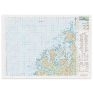
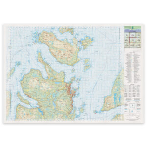
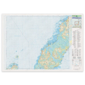
Here you will find selected hiking maps covering the Lofoten islands, mountain areas, trails, and coastal landscapes, suitable for hiking, cycling, and planning experiences in the area.
-
Bestselger
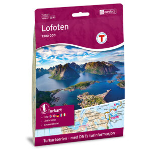
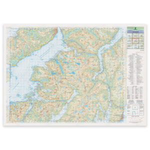
Lofoten DNT Turkart
kr 259,00 Add to cart -
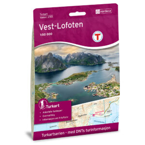
Vest-Lofoten DNT Turkart
kr 259,00 Add to cart -
Vestvågøy DNT Turkart
kr 259,00 Add to cart -
Vesterålen Hinnøya Nord DNT Turkart
kr 259,00 Add to cart -
Vesterålen Hinnøya Sør DNT Turkart
kr 259,00 Add to cart -

Leknes Norge-serien Turkart
kr 259,00 Add to cart -
Sortland Norge-serien Turkart
kr 259,00 Add to cart -
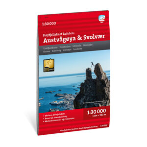
Høyfjellskart Lofoten: Austvågøya – Svolvær 1:30.000
kr 239,00 Add to cart -
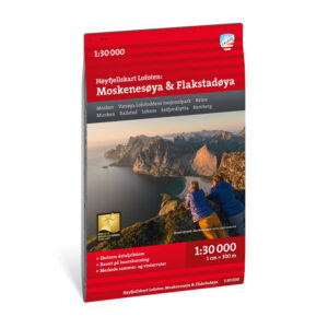
Høyfjellskart Lofoten: Moskenesøya & Flakstadøya 1:30.000
kr 239,00 Add to cart -
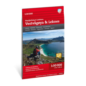
Høyfjellskart Lofoten: Vestvågøya – Leknes 1:30.000
kr 239,00 Add to cart -
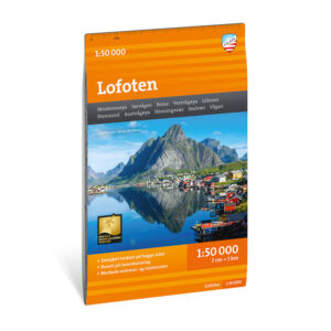
Turkart Lofoten 1:50.000
kr 239,00 Add to cart
Experience guides and road maps of Lofoten
Here you will find experience guides and road maps that make it easier to plan routes, stops, and attractions in Lofoten. Perfect for road trips along the E10, and as a supplement to hiking maps when you want to combine mountain hikes with fishing villages, beaches, and viewpoints.
-
Lofoten 1:250 000 Opplevelsesguide
kr 249,00 Add to cart -
Bestselger
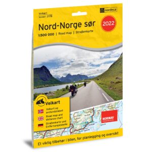
Veikart Nord-Norge Sør
kr 229,00 Add to cart -
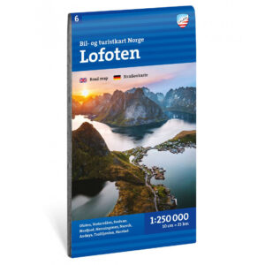
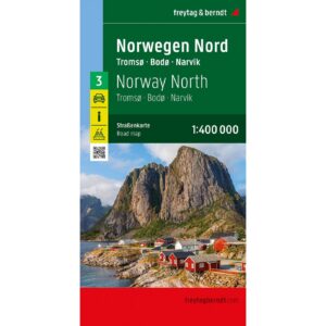
Bil- og turistkart Lofoten 1:250 000
kr 225,00 Add to cart -
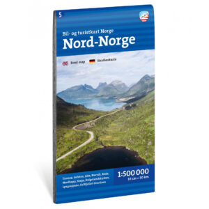
Bil- og turistkart Nord-Norge 1:500 000
kr 225,00 Add to cart -
Nord-Norge – veikart (flerspråklig)
kr 229,00 Add to cart -
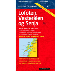
Lofoten, Vesterålen og Senja 2024
kr 299,00 Add to cart
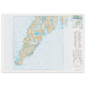
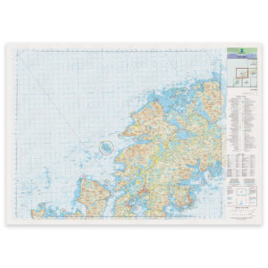
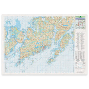
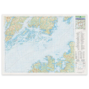
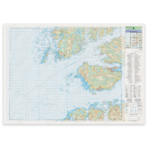
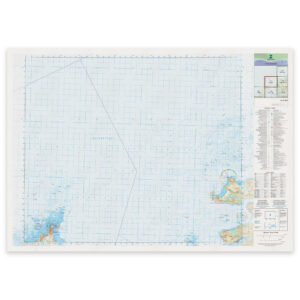
The Norwegian Mapping Authority’s N50 series – Lofoten
The Norwegian Mapping Authority’s N50 map series is Norway’s official land map, in a new version published in May 2025. The maps provide detailed and easy-to-read terrain information, and are delivered as print-on-demand on rolls in 103 × 73 cm format.
-
Kartverket – landkart (N50): 33-A Værøy
Fra kr 395,00 Select options -
Kartverket – landkart (N50): 34-A Reine
Fra kr 395,00 Select options -
Kartverket – landkart (N50): 35-A Leknes
Fra kr 395,00 Select options -
Kartverket – landkart (N50): 35-B Svolvær
Fra kr 395,00 Select options -
Kartverket – landkart (N50): 35-C Ulsváhke Ulvsvåg
Fra kr 395,00 Select options -
Kartverket – landkart (N50): 36-A Stokmarknes
Fra kr 395,00 Select options -
Kartverket – landkart (N50): 36-B Sortland
Fra kr 395,00 Select options -

Kartverket – landkart (N50): 36-C Tjeldsundet
Fra kr 395,00 Select options -
Kartverket – landkart (N50): 37-A Nykvåg
Fra kr 395,00 Select options -

Kartverket – landkart (N50): 37-B Risøyhamn
Fra kr 395,00 Select options -
Kartverket – landkart (N50): 37-C Harstad
Fra kr 395,00 Select options -
Kartverket – landkart (N50): 38-A Bleik
Fra kr 395,00 Select options -

Kartverket – landkart (N50): 38-B Skrolsvika
Fra kr 395,00 Select options -
Kartverket – landkart (N50): 39-A Andenes
Fra kr 395,00 Select options
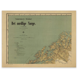
Historical maps of Lofoten
A selection of historical maps showing Lofoten as the area has been mapped previously, suitable both as reference and decorative wall maps.