Romsdalsfjella
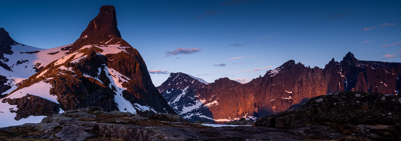
Romsdalsfjella is one of Norway’s most spectacular mountain areas and extends on both sides of Romsdalen, from the fjord landscape at Åndalsnes to high alpine mountains further inland. The area contains some of Northern Europe’s most dramatic mountain formations, with steep walls, sharp ridges, and deep valleys.
Trollveggen is Europe’s highest vertical mountain wall, approximately 1,700 meters high, and an internationally renowned landmark for climbing and mountain sports. Together with mountains such as Romsdalshorn and Vengetindene, the area provides a distinct alpine character that distinguishes Romsdalsfjella from many other Norwegian mountain areas.
Romsdalseggen is one of Norway’s most popular ridge hikes and offers expansive views of Romsdalen, Trollveggen, and surrounding mountain classics. The area is well-suited for both day trips and longer mountain stays, with access to cabins and varied route options.
The wide range of terrain – from fjord to high mountains in just a few hours – makes high-quality maps essential for planning and safe travel in Romsdalsfjella, whether you are hiking, climbing, or moving through steep and exposed terrain.
Hiking maps of Romsdalsfjella
Hiking maps covering Romsdalsfjella, Romsdalen, and the mountain areas around Åndalsnes, suitable for hiking, summit trips, and travel in alpine terrain.
-

Romsdalseggen DNT Turkart
kr 259,00 Add to cart -
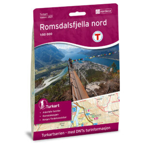
Romsdalsfjella Nord DNT Turkart
kr 259,00 Add to cart -
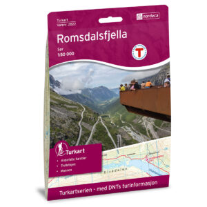
Romsdalsfjella Sør DNT Turkart
kr 259,00 Add to cart -
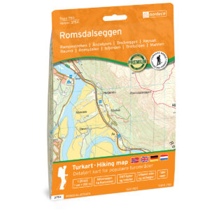
Romsdalseggen Topo 750 Turkart
kr 259,00 Add to cart -
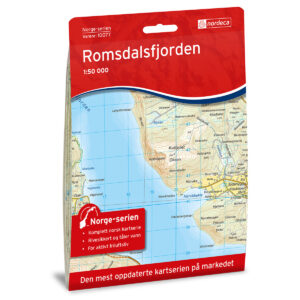
Romsdalsfjorden Norge-serien Turkart
kr 259,00 Add to cart -

Turkart Romsdalen & Eikesdalen 1:50.000
kr 239,00 Add to cart -
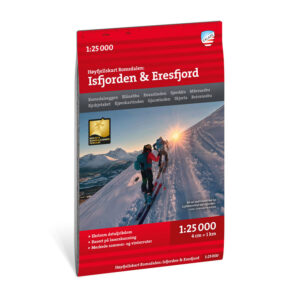
Høyfjellskart Romsdalen: Isfjorden & Eresfjord 1:25.000
kr 239,00 Add to cart -

Høyfjellskart Romsdalen: Trolltindan & Høgstolen 1:25.000
kr 239,00 Add to cart
The Norwegian Mapping Authority’s N50 series – Romsdalsfjella
The Norwegian Mapping Authority’s map series N50 is Norway’s official topographic map, with a new version released in May 2025. The maps provide detailed and easy-to-read terrain information and are delivered as print-on-demand on rolls in a 103 × 73 cm format.
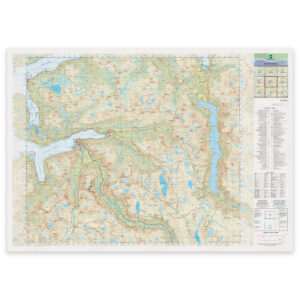
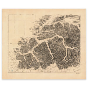
Historical maps of Romsdalsfjella
Historical maps showing Romsdalsfjella and Romsdalen as the area has been mapped previously, suitable both as references and decorative wall maps.