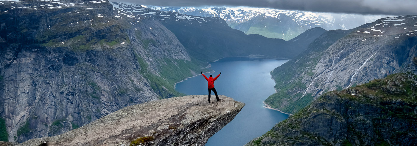
Trolltunga
Trolltunga is one of Norway’s most spectacular rock formations, a narrow rock plateau that extends horizontally from the mountainside at approximately 1,100 meters above sea level, around 700 meters above Lake Ringedalsvatnet in Skjeggedal. The view towards Ringedalen and Folgefonna makes Trolltunga one of the country’s most photographed and visited hiking destinations.
The hike to Trolltunga is long and demanding, with a round trip of approximately 27 km and around 1,000 meters of elevation gain. The trail traverses high mountain terrain, and the hike normally takes 10–12 hours. Along the way, you pass Mågelitopp, among other points, with views towards Folgefonna National Park, before reaching Trolltunga itself.
The area around Trolltunga, Odda and Ullensvang offers varied mountain and fjord landscapes, with steep mountainsides, high mountain areas and connections to the Hardangerfjord. The terrain is exposed to weather and without safety barriers, which makes good maps essential for planning and safe travel.
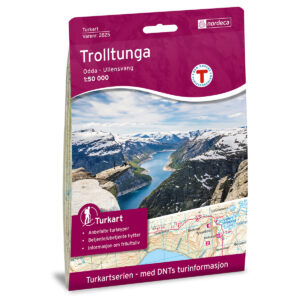
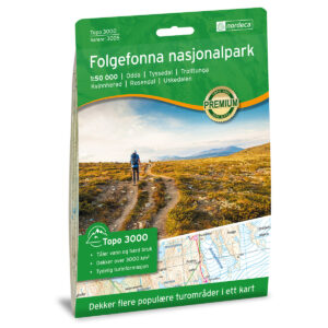
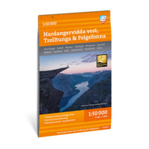
Hiking Maps of Trolltunga
Hiking maps covering Trolltunga, Skjeggedal, Ringedalen and nearby mountain areas, suitable for planning hikes in challenging high mountain terrain.
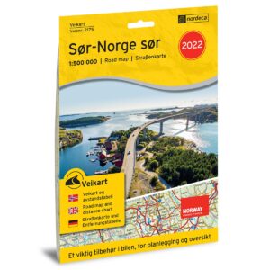
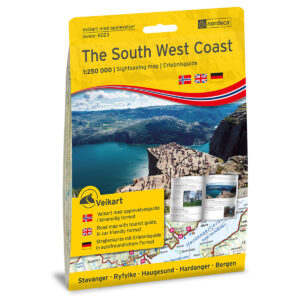
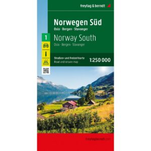
Experience Guides and Road Maps – Odda and Hardanger
Experience guides and road maps for planning travel and access to Trolltunga, Odda, Ullensvang and the Hardangerfjord, as well as activities and attractions in the area.

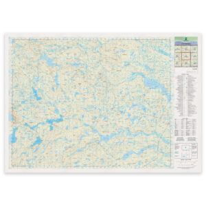
The Norwegian Mapping Authority’s N50 Series – Trolltunga
The Norwegian Mapping Authority’s N50 map series is Norway’s official topographic map, in a new version published in May 2025. The maps provide detailed and easy-to-read terrain information, and are delivered as print-on-demand on rolls in 103 × 73 cm format.

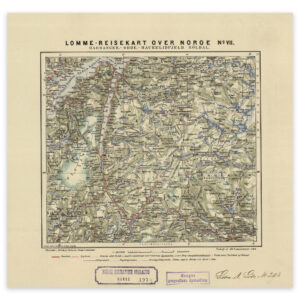
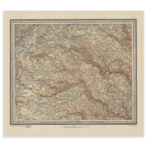
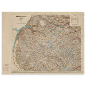
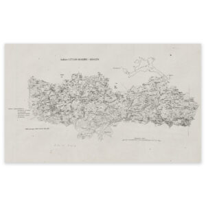
Historical Maps of Hardanger
Historical maps showing Trolltunga, Hardanger and Folgefonna as the area has been mapped previously, suitable both as reference and decorative wall maps.